File:Location map Manila.png
跳转到导航
跳转到搜索
本预览的尺寸:800 × 530像素。 其他分辨率:320 × 212像素 | 640 × 424像素 | 1,024 × 678像素 | 1,344 × 890像素。
原始文件 (1,344 × 890像素,文件大小:1.2 MB,MIME类型:image/png)
说明
说明
添加一行文字以描述该文件所表现的内容
Zaldy Jerico Narvaez
摘要
[编辑]
| 描述 |
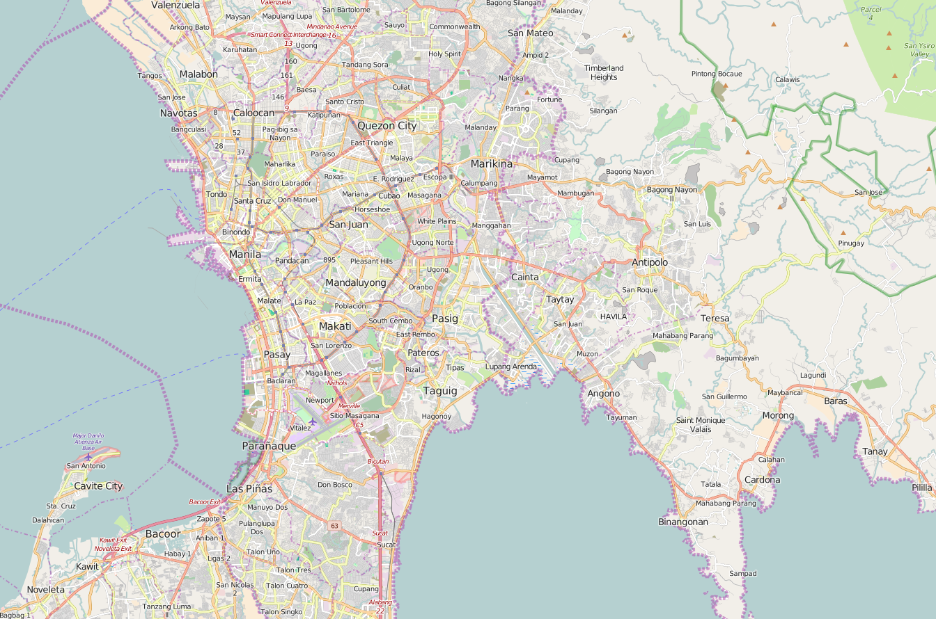
English: OpenStreetMap location map of Manila, Philippines.
|
| 日期 | |
| 来源 | OpenStreetMap |
| 作者 | OpenStreetMap contributors |
许可协议
[编辑]
| This work contains information from OpenStreetMap, which is made available under the Open Database License (ODbL).
The ODbL does not require any particular license for maps produced from ODbL data. Prior to 1 August 2020, map tiles produced by the OpenStreetMap Foundation were licensed under the CC-BY-SA-2.0 license. Maps produced by other people may be subject to other licences. |
文件历史
点击某个日期/时间查看对应时刻的文件。
| 日期/时间 | 缩略图 | 大小 | 用户 | 备注 | |
|---|---|---|---|---|---|
| 当前 | 2016年1月8日 (五) 02:56 | | 1,344 × 890(1.2 MB) | Axe-koan(留言 | 贡献) | User created page with UploadWizard |
您不可以覆盖此文件。
文件用途
没有页面使用本文件。
全域文件用途
以下其他wiki使用此文件:
- en.wikipedia.org上的用途
- Ninoy Aquino International Airport
- Ayala Center
- Quezon Memorial Circle
- Blumentritt station (LRT)
- Monumento station
- Doroteo Jose station
- Central Terminal (LRT)
- Gil Puyat station
- EDSA station (LRT)
- Baclaran station
- Vito Cruz station (LRT)
- Recto station
- Araneta Center–Cubao station (LRT)
- Tayuman station (LRT)
- United Nations station (LRT)
- Carriedo station
- Libertad station
- Pedro Gil station
- Quirino station (LRT)
- Katipunan station
- V. Mapa station
- Legarda station
- Santolan station
- North Avenue station (MRT)
- Shaw Boulevard station
- Araneta Center–Cubao station (MRT)
- Ayala station
- GMA–Kamuning station
- Quezon Avenue station
- Taft Avenue station
- Guadalupe station (MRT)
- Ortigas station
- Fernando Poe Jr. station
- Balintawak station
- Buendia station (MRT)
- Boni station
- Santolan–Annapolis station
- Magallanes station
- Abad Santos station
- Bay City, Metro Manila
- Betty Go-Belmonte station
- Pureza station
- Arca South
- Newport City, Metro Manila
- Anonas station
- Bambang station
- Gilmore station (LRT)
- R. Papa station
- 5th Avenue station (LRT)
- J. Ruiz station
查看此文件的更多全域用途。