File:Location map United Kingdom Aberdeen Central.png
跳转到导航
跳转到搜索

本预览的尺寸:645 × 600像素。 其他分辨率:258 × 240像素 | 516 × 480像素 | 796 × 740像素。
原始文件 (796 × 740像素,文件大小:397 KB,MIME类型:image/png)
说明
说明
添加一行文字以描述该文件所表现的内容
| 描述 |
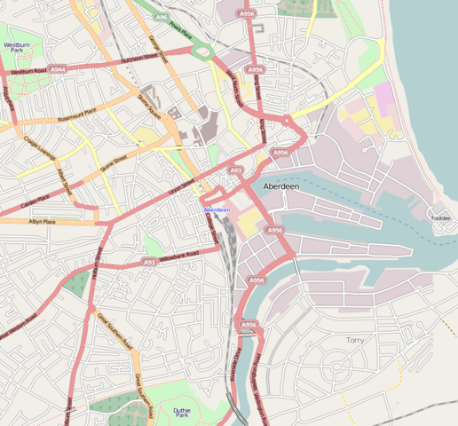
English: Map of Aberdeen
Geographic limits of the map:
本文件采用知识共享署名-相同方式共享 2.0 通用许可协议授权。
|
| 来源 | OpenStreetMap |
| 作者 | Dr. Blofeld |
文件历史
点击某个日期/时间查看对应时刻的文件。
| 日期/时间 | 缩略图 | 大小 | 用户 | 备注 | |
|---|---|---|---|---|---|
| 当前 | 2010年5月6日 (四) 16:15 | | 796 × 740(397 KB) | Dr. Blofeld~commonswiki(留言 | 贡献) | {{Information |Description={{en|1=k}} |Source=j |Author=j |Date=j |Permission= |other_versions= }} |
您不可以覆盖此文件。
文件用途
没有页面使用本文件。
全域文件用途
以下其他wiki使用此文件:
- ar.wikipedia.org上的用途
- ceb.wikipedia.org上的用途
- en.wikipedia.org上的用途
- es.wikipedia.org上的用途
- fa.wikipedia.org上的用途
- fr.wikipedia.org上的用途
- kn.wikipedia.org上的用途
- si.wikipedia.org上的用途
- tr.wikipedia.org上的用途
- uz.wikipedia.org上的用途
- war.wikipedia.org上的用途
- zh.wikipedia.org上的用途