File:MD Route 4.svg
ナビゲーションに移動
検索に移動

この SVG ファイルのこの PNG プレビューのサイズ: 600 × 600 ピクセル. その他の解像度: 240 × 240 ピクセル | 480 × 480 ピクセル | 768 × 768 ピクセル | 1,024 × 1,024 ピクセル | 2,048 × 2,048 ピクセル | 2,400 × 2,400 ピクセル。
元のファイル (SVG ファイル、2,400 × 2,400 ピクセル、ファイルサイズ: 6キロバイト)
キャプション
キャプション
このファイルの内容を1行で記述してください
概要
[編集]
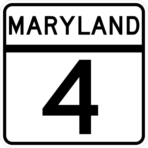
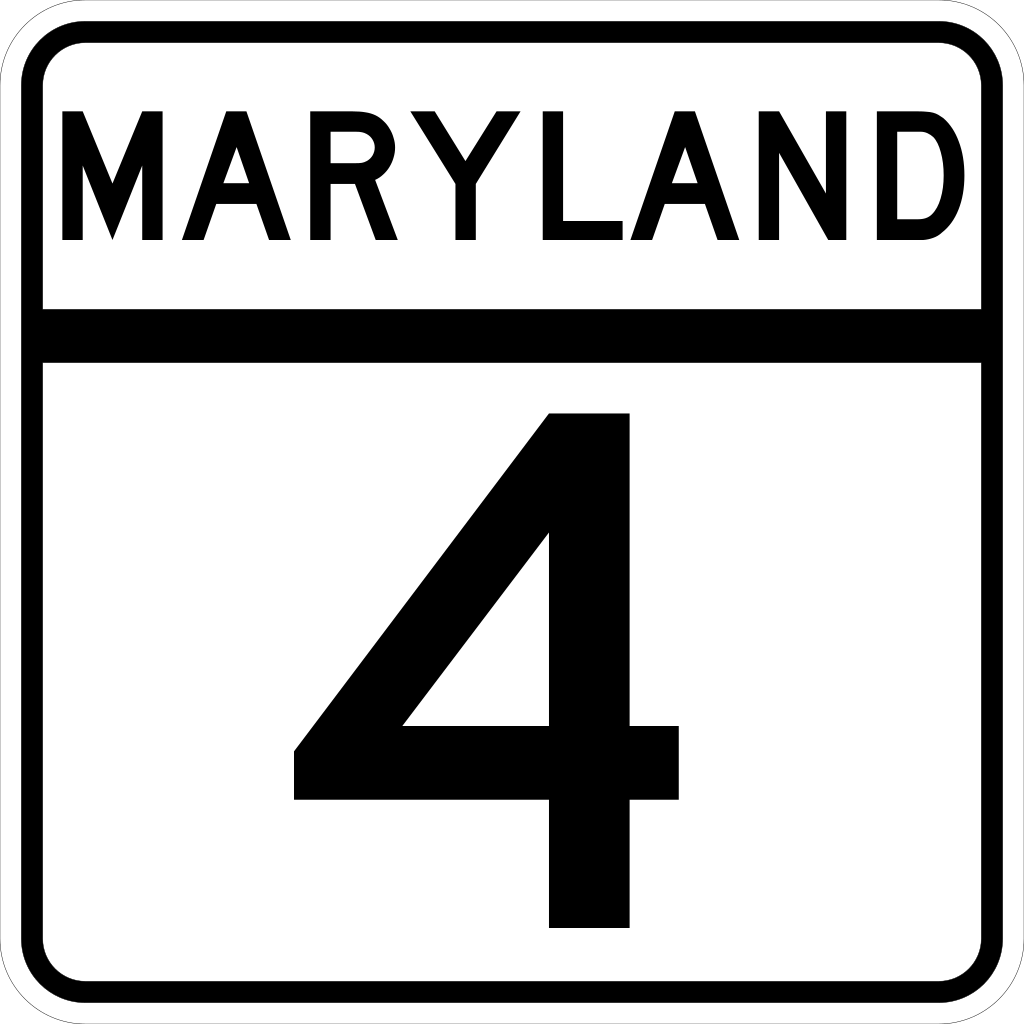
| 解説 | The route marker for Maryland State Highway 4. Made according to http://www.marylandroads.com/businesswithsha/bizstdsspecs/desmanualstdpub/publicationsonline/oots/pdf/M1-5.pdf |
| 日付 | 2006年2月22日 (当初のアップロード日) |
| 原典 | 投稿者自身による著作物 |
| 作者 | Jeff02 |
| SVG 開発 |
ライセンス
[編集]
This file is in the public domain because it comes from the Maryland Manual on Uniform Traffic Control Devices, sign number M1-5, which states specifically in its introduction, on page iii that:
|
ファイルの履歴
過去の版のファイルを表示するには、その版の日時をクリックしてください。
| 日付と時刻 | サムネイル | 寸法 | 利用者 | コメント | |
|---|---|---|---|---|---|
| 現在の版 | 2006年2月22日 (水) 04:22 | | 2,400 × 2,400 (6キロバイト) | Jeff02 (トーク | 投稿記録) | The route marker for Maryland State Highway 4. I made this image myself using Inkscape. Made according to http://www.marylandroads.com/businesswithsha/bizstdsspecs/desmanualstdpub/publicationsonline/oots/pdf/M1-5.pdf [[Category:Maryland state highway r |
このファイルは上書きできません。
ファイルの使用状況
以下の 3 ページがこのファイルを使用しています:
グローバルなファイル使用状況
以下に挙げる他のウィキがこの画像を使っています:
- bn.wikipedia.org での使用状況
- en.wikipedia.org での使用状況
- Prince George's County, Maryland
- Anne Arundel County, Maryland
- St. Mary's County, Maryland
- Prince Frederick, Maryland
- Upper Marlboro, Maryland
- Leonardtown, Maryland
- Patuxent River
- Washington–Baltimore combined statistical area
- Suitland, Maryland
- Capital Beltway
- Maryland Route 2
- Maryland Route 4
- Maryland Route 3
- Maryland Route 5
- Suitland Parkway
- List of highways numbered 4
- Interstate 95 in Maryland
- Maryland Route 725
- Maryland Route 980
- U.S. Route 301 in Maryland
- Maryland Route 337
- Maryland Route 223
- User:MPD01605/Exit lists
- Maryland Route 235
- Governor Thomas Johnson Bridge
- Maryland Route 231
- Maryland Route 765
- Maryland Route 260
- User:Algorerhythms/MD Route Table
- User:Algorerhythms/MD Route Table split
- Maryland Route 506
- Maryland Route 408
- User:Kumba42/MD Scenic byway 13 - Star-Spangled Banner
- Maryland Route 258
- Maryland Route 259
- Maryland Route 262
- Maryland Route 263
- Maryland Route 264
- Maryland Route 402
- Maryland Route 497
- Maryland Route 458
- Maryland Route 509
- Maryland Route 521
- Maryland Route 760
- Maryland Route 794
- Southern Avenue (Washington, D.C.)
- User:Jng003/sandbox
- List of state highways in Maryland
- Wikipedia:WikiProject U.S. Roads/Redirects/Maryland/1-99
このファイルのグローバル使用状況を表示する。