File:MRT map TE.svg
跳转到导航
跳转到搜索

此SVG文件的PNG预览的大小:800 × 457像素。 其他分辨率:320 × 183像素 | 640 × 366像素 | 1,024 × 585像素 | 1,280 × 732像素 | 2,560 × 1,463像素 | 1,709 × 977像素。
原始文件 (SVG文件,尺寸为1,709 × 977像素,文件大小:275 KB)
说明
说明
添加一行文字以描述该文件所表现的内容
摘要
[编辑]
| 描述 |
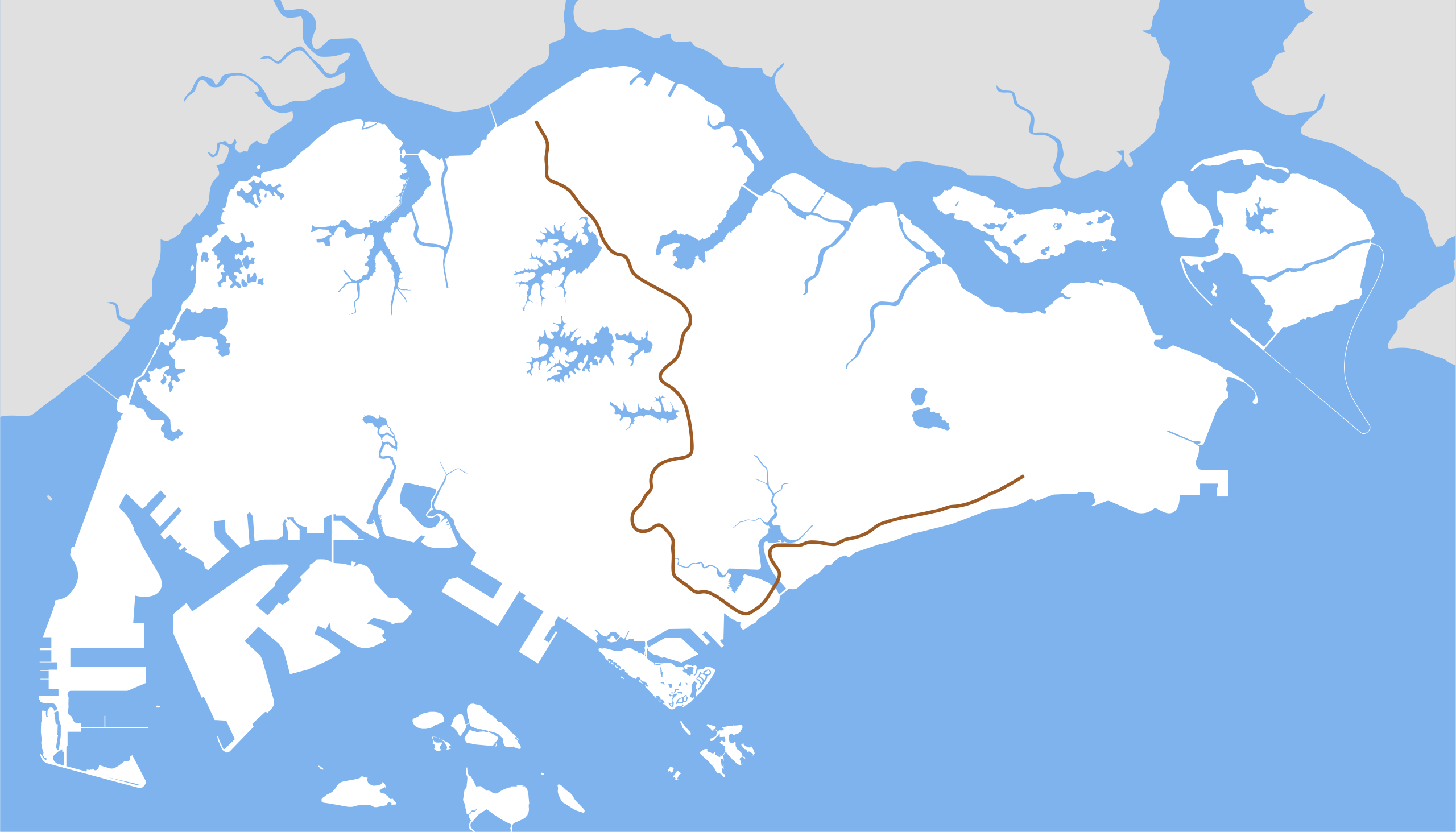
English: Thomson-East Coast Line map. |
| 来源 | 自己的作品 |
| 作者 | Seloloving |
许可协议
[编辑]
我,本作品著作权人,特此采用以下许可协议发表本作品:
| 本作品采用知识共享CC0 1.0 通用公有领域贡献许可协议授权。 | |
| 采用本宣告发表本作品的人,已在法律允许的范围内,通过在全世界放弃其对本作品拥有的著作权法规定的所有权利(包括所有相关权利),将本作品贡献至公有领域。您可以复制、修改、传播和表演本作品,将其用于商业目的,无需要求授权。
|
文件历史
点击某个日期/时间查看对应时刻的文件。
| 日期/时间 | 缩略图 | 大小 | 用户 | 备注 | |
|---|---|---|---|---|---|
| 当前 | 2020年1月30日 (四) 20:17 | | 1,709 × 977(275 KB) | Seloloving(留言 | 贡献) | correct shade of brown. |
| 2020年1月6日 (一) 14:52 |  | 1,709 × 977(275 KB) | Seloloving(留言 | 贡献) | Removed other lines. | |
| 2014年8月19日 (二) 02:45 |  | 1,709 × 977(254 KB) | Seloloving(留言 | 贡献) | Removed future lines. | |
| 2014年8月19日 (二) 02:43 |  | 1,709 × 977(259 KB) | Seloloving(留言 | 贡献) | Fixed TEL alignment. | |
| 2014年8月16日 (六) 08:01 |  | 1,709 × 977(259 KB) | Seloloving(留言 | 贡献) | Added East Coast stretch. Fixed Thomson stretch. | |
| 2014年1月20日 (一) 08:32 |  | 1,709 × 977(157 KB) | Seloloving(留言 | 贡献) | Fixed TWE alignment. | |
| 2014年1月20日 (一) 02:03 |  | 1,709 × 977(157 KB) | Seloloving(留言 | 贡献) | Updated shape of Singapore Island. Fixed alignment issues. | |
| 2012年9月1日 (六) 05:34 |  | 1,709 × 915(116 KB) | Seloloving(留言 | 贡献) | Added TSL | |
| 2012年8月30日 (四) 04:51 |  | 1,709 × 915(114 KB) | Seloloving(留言 | 贡献) | Fixed alignments. | |
| 2012年8月30日 (四) 04:30 |  | 1,709 × 915(113 KB) | Seloloving(留言 | 贡献) | Fixed errors. |
您不可以覆盖此文件。
文件用途
以下10个页面使用本文件:
- User:Chumwa/OgreBot/Potential transport maps/2020 January 1-10
- User:Chumwa/OgreBot/Potential transport maps/2020 January 21-31
- User:Chumwa/OgreBot/Public transport information/2020 January 1-10
- User:Chumwa/OgreBot/Public transport information/2020 January 21-31
- User:Chumwa/OgreBot/Transport Maps/2020 January 1-10
- User:Chumwa/OgreBot/Transport Maps/2020 January 21-31
- User:Chumwa/OgreBot/Travel and communication maps/2020 January 1-10
- User:Chumwa/OgreBot/Travel and communication maps/2020 January 21-31
- File:MRT map TS.svg(文件重定向)
- Category:Mass Rapid Transit (Singapore) Thomson-East Coast Line
全域文件用途
以下其他wiki使用此文件:
- de.wikipedia.org上的用途
- id.wikipedia.org上的用途
- ms.wikipedia.org上的用途
- nl.wikipedia.org上的用途
- www.wikidata.org上的用途
- zh-yue.wikipedia.org上的用途
- zh.wikipedia.org上的用途