File:Madagascar sat.png
Pumunta sa nabigasyon
Pumunta sa paghahanap
Laki ng pasilip na ito: 320 x 599 na pixel. Ibang resolusyon: 256 x 480 na pixel | 876 x 1,640 na pixel.
Orihinal na file (876 × 1,640 na pixel, laki: 1.45 MB, uri ng MIME: image/png)
Captions
Captions
Add a one-line explanation of what this file represents
Buod[baguhin]
| Paglalarawan | |
| Petsa | Hindi alam na araw |
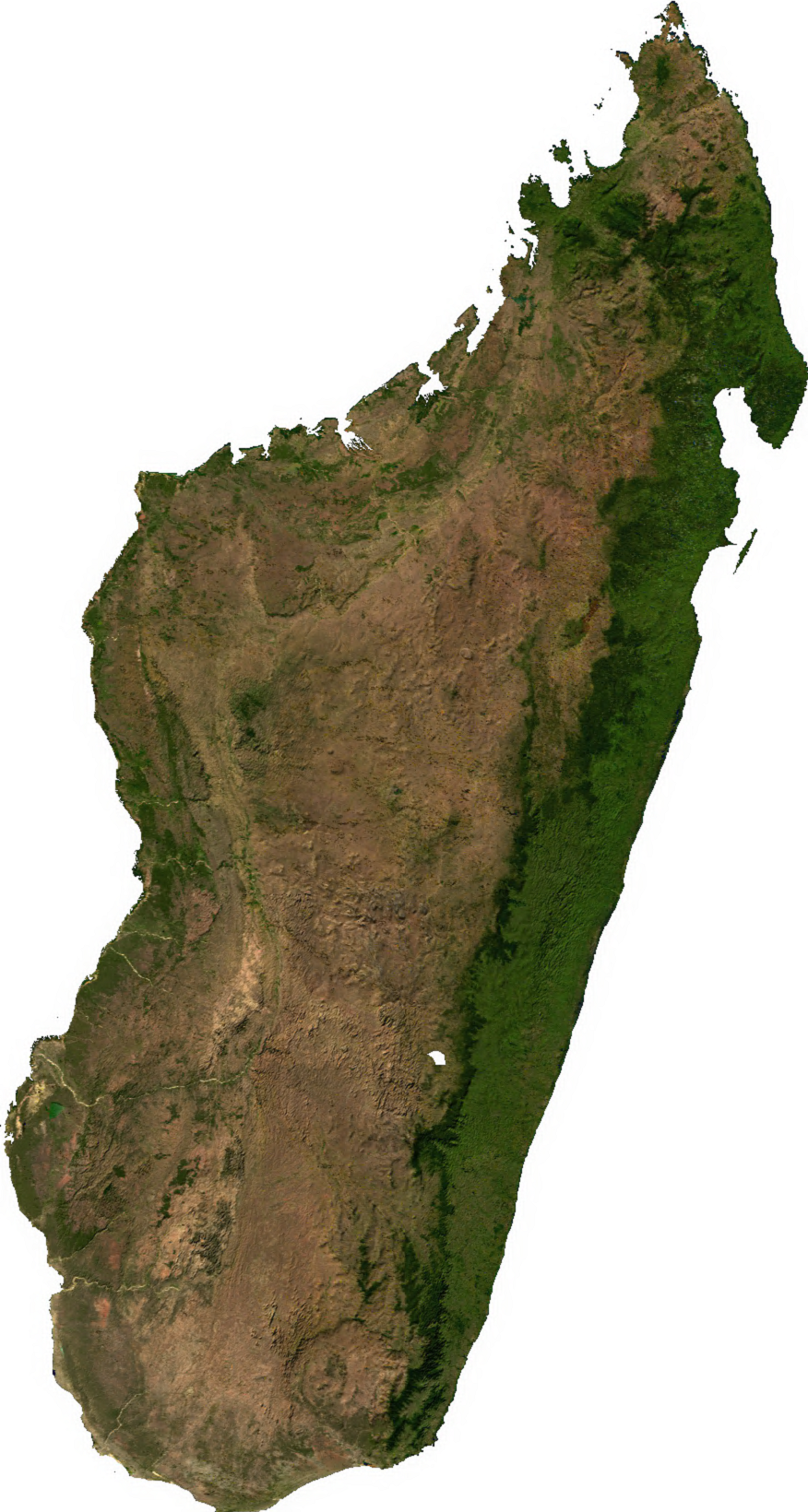
| Pinanggalingan | Generated using free sources available at The Map Library |
| May-akda |
Paglilisensiya[baguhin]
| This file is in the public domain, because it was generated by a user, using free sources available at The Map Library.
Note that this does not include the maps in the Global Administrative Areas section of the homepage. |
Nakaraan ng file
Pindutin ang isang petsa/oras para makita ang file noong puntong yon.
| Petsa/Oras | Thumbnail | Sukat | Tagagamit | Komento | |
|---|---|---|---|---|---|
| ngayon | 02:31, 14 Hulyo 2006 | | 876 × 1,640 (1.45 MB) | Unquietwiki (usapan | ambag) | ECW to TIFF to PNG (compression level 9). {{PD-MapLibrary}} |
Hindi mo mao-overwrite ang file na ito.
Paggamit sa file
Ginagamit ng sumusunod na pahina ang file na ito:
Pandaigdigang paggamit sa file
Ginagamit ng mga sumusunod na wiki ang file na ito:
- Paggamit sa ar.wikipedia.org
- Paggamit sa ast.wikipedia.org
- Paggamit sa bcl.wikipedia.org
- Paggamit sa bg.wikipedia.org
- Paggamit sa bn.wikipedia.org
- Paggamit sa en.wikipedia.org
- Paggamit sa fr.wikipedia.org
- Paggamit sa it.wikipedia.org
- Paggamit sa ka.wikipedia.org
- Paggamit sa lt.wikipedia.org
- Paggamit sa mg.wikipedia.org
- Paggamit sa my.wikipedia.org
- Paggamit sa pnb.wikipedia.org
- Paggamit sa pt.wikipedia.org
- Paggamit sa ro.wikipedia.org
- Paggamit sa sl.wikipedia.org
- Paggamit sa th.wikipedia.org
- Paggamit sa tl.wikipedia.org
- Paggamit sa uk.wikipedia.org
- Paggamit sa ur.wikipedia.org
- Paggamit sa vec.wikipedia.org
- Paggamit sa www.wikidata.org
- Paggamit sa yo.wikipedia.org
- Paggamit sa zh-yue.wikipedia.org
- Paggamit sa zh.wikipedia.org