File:Map-DR-Wuerttemberg.svg

元のファイル (SVG ファイル、2,621 × 2,224 ピクセル、ファイルサイズ: 712キロバイト)
キャプション
キャプション
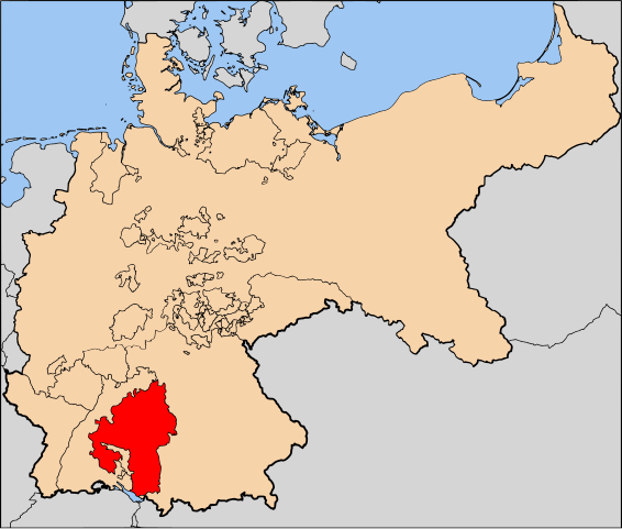
| 解説 | The Kingdom of Württemberg (Königreich Württemberg) within Germany at the time of the German Empire | |||||||||||
| 日付 | ||||||||||||
| 原典 | Based on map data of the IEG-Maps project (Andreas Kunz, B. Johnen and Joachim Robert Moeschl: University of Mainz) - http://www.ieg-maps.uni-mainz.de | |||||||||||
| 作者 | User:52 Pickup | |||||||||||
| 許可 (ファイルの再利用) |
このファイルはクリエイティブ・コモンズ 表示-継承 2.5 一般ライセンスのもとに利用を許諾されています。
|

ファイルの履歴
過去の版のファイルを表示するには、その版の日時をクリックしてください。
| 日付と時刻 | サムネイル | 寸法 | 利用者 | コメント | |
|---|---|---|---|---|---|
| 現在の版 | 2007年5月11日 (金) 13:16 | | 2,621 × 2,224 (712キロバイト) | 52 Pickup (トーク | 投稿記録) | {{Information| |Description= The Kingdom of Württemberg (Königreich Württemberg) within Germany at the time of the German Empire |Source= Based on map data of the |
このファイルは上書きできません。
ファイルの使用状況
以下のページがこのファイルを使用しています:
グローバルなファイル使用状況
以下に挙げる他のウィキがこの画像を使っています:
- en.wikipedia.org での使用状況
- mn.wikipedia.org での使用状況