File:Map Anatolia ancient regions-sl.svg
跳至導覽
跳至搜尋

此 SVG 檔案的 PNG 預覽的大小:800 × 518 像素。 其他解析度:320 × 207 像素 | 640 × 414 像素 | 1,024 × 663 像素 | 1,280 × 828 像素 | 2,560 × 1,657 像素 | 921 × 596 像素。
原始檔案 (SVG 檔案,表面大小:921 × 596 像素,檔案大小:274 KB)
說明
說明
添加單行說明來描述出檔案所代表的內容
摘要[編輯]
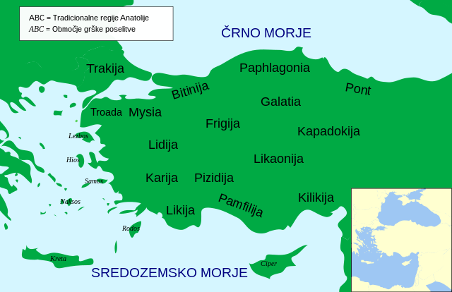
| 描述 | preveden zemljevid Anatolije |
| 日期 | |
| 來源 | File:Map Anatolia ancient regions-en.svg |
| 作者 | User:MinisterForBadTimes |
| 其他版本 |
[]
|


.svg)


授權條款[編輯]
此檔案採用創用CC 姓名標示 3.0 未在地化版本授權條款。
- 您可以自由:
- 分享 – 複製、發佈和傳播本作品
- 重新修改 – 創作演繹作品
- 惟需遵照下列條件:
- 姓名標示 – 您必須指名出正確的製作者,和提供授權條款的連結,以及表示是否有對內容上做出變更。您可以用任何合理的方式來行動,但不得以任何方式表明授權條款是對您許可或是由您所使用。
檔案歷史
點選日期/時間以檢視該時間的檔案版本。
| 日期/時間 | 縮圖 | 尺寸 | 使用者 | 備註 | |
|---|---|---|---|---|---|
| 目前 | 2021年7月23日 (五) 19:50 | | 921 × 596(274 KB) | A09(留言 | 貢獻) | Uploaded a work by User:MinisterForBadTimes from File:Map Anatolia ancient regions-en.svg with UploadWizard |
無法覆蓋此檔案。
檔案用途
下列19個頁面有用到此檔案:
- User:Magog the Ogre/Multilingual legend/2021 July 21-31
- File:AnatoliaAncientRegions.png
- File:Anatolia Ancient Regions ID.png
- File:Map Anatolia ancient regions-af.jpg
- File:Map Anatolia ancient regions-el.svg
- File:Map Anatolia ancient regions-en.svg
- File:Map Anatolia ancient regions-es.svg
- File:Map Anatolia ancient regions-hu.svg
- File:Map Anatolia ancient regions-it.svg
- File:Map Anatolia ancient regions-mk.svg
- File:Map Anatolia ancient regions-pt.svg
- File:Map Anatolia ancient regions-ru.png
- File:Map Anatolia ancient regions-ru.svg
- File:Map Anatolia ancient regions-sl.svg
- File:Map Anatolia ancient regions-uk.svg
- File:Map Anatolia ancient regions-zh.svg
- File:Map Anatolia ancient regions (Indonesian version).svg
- File:مناطق آناتولی باستان.svg
- Template:Other versions/Map Anatolia ancient regions