File:Map commune FR insee code 85129.png
原始檔案 (756 × 605 像素,檔案大小:87 KB,MIME 類型:image/png)
說明
說明
摘要[編輯]
| 描述 |
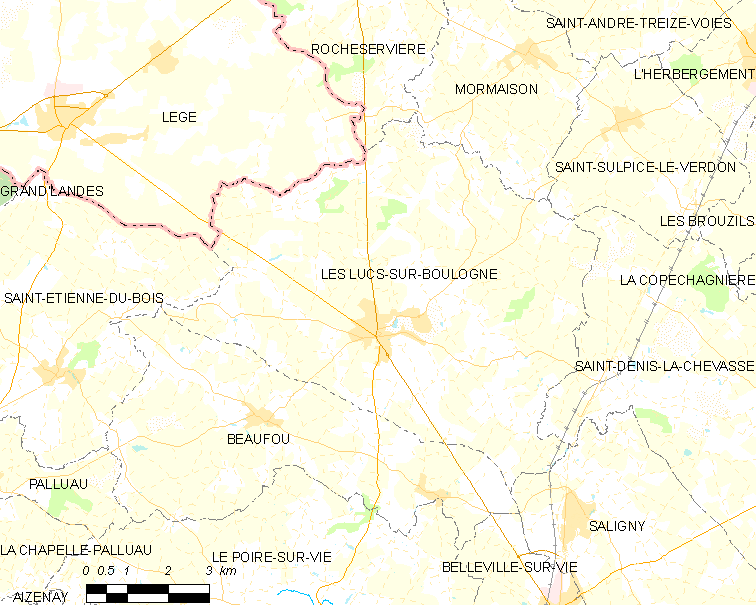
English: Map of French municipality Les Lucs-sur-Boulogne
Français : Carte des communes françaises Les Lucs-sur-Boulogne
Nederlands: Kaart van Franse gemeente Les Lucs-sur-Boulogne |
|
| 日期 | ||
| 來源 | derived work, see author details | |
| 作者 |
|
_French_municipality_map.svg)
授權條款[編輯]
- 您可以自由:
- 分享 – 複製、發佈和傳播本作品
- 重新修改 – 創作演繹作品
- 惟需遵照下列條件:
- 姓名標示 – 您必須指名出正確的製作者,和提供授權條款的連結,以及表示是否有對內容上做出變更。您可以用任何合理的方式來行動,但不得以任何方式表明授權條款是對您許可或是由您所使用。
檔案歷史
點選日期/時間以檢視該時間的檔案版本。
| 日期/時間 | 縮圖 | 尺寸 | 使用者 | 備註 | |
|---|---|---|---|---|---|
| 目前 | 2012年6月9日 (六) 16:53 | | 756 × 605(87 KB) | RobotMichiel1972(留言 | 貢獻) |
無法覆蓋此檔案。
檔案用途
全域檔案使用狀況
以下其他 wiki 使用了這個檔案:
- ca.wikipedia.org 的使用狀況
- diq.wikipedia.org 的使用狀況
- es.wikipedia.org 的使用狀況
- eu.wikipedia.org 的使用狀況
- nl.wikipedia.org 的使用狀況
- ro.wikipedia.org 的使用狀況
- sk.wikipedia.org 的使用狀況
- sv.wikipedia.org 的使用狀況
- tt.wikipedia.org 的使用狀況
- www.wikidata.org 的使用狀況
- zh-min-nan.wikipedia.org 的使用狀況
- zh.wikipedia.org 的使用狀況