File:Map of Alaska highlighting Petersburg Census Area.svg
跳至導覽
跳至搜尋

此 SVG 檔案的 PNG 預覽的大小:800 × 423 像素。 其他解析度:320 × 169 像素 | 640 × 338 像素 | 1,024 × 541 像素 | 1,280 × 677 像素 | 2,560 × 1,353 像素 | 1,470 × 777 像素。
原始檔案 (SVG 檔案,表面大小:1,470 × 777 像素,檔案大小:644 KB)
說明
說明
添加單行說明來描述出檔案所代表的內容

檔案歷史
點選日期/時間以檢視該時間的檔案版本。
| 日期/時間 | 縮圖 | 尺寸 | 用戶 | 備註 | |
|---|---|---|---|---|---|
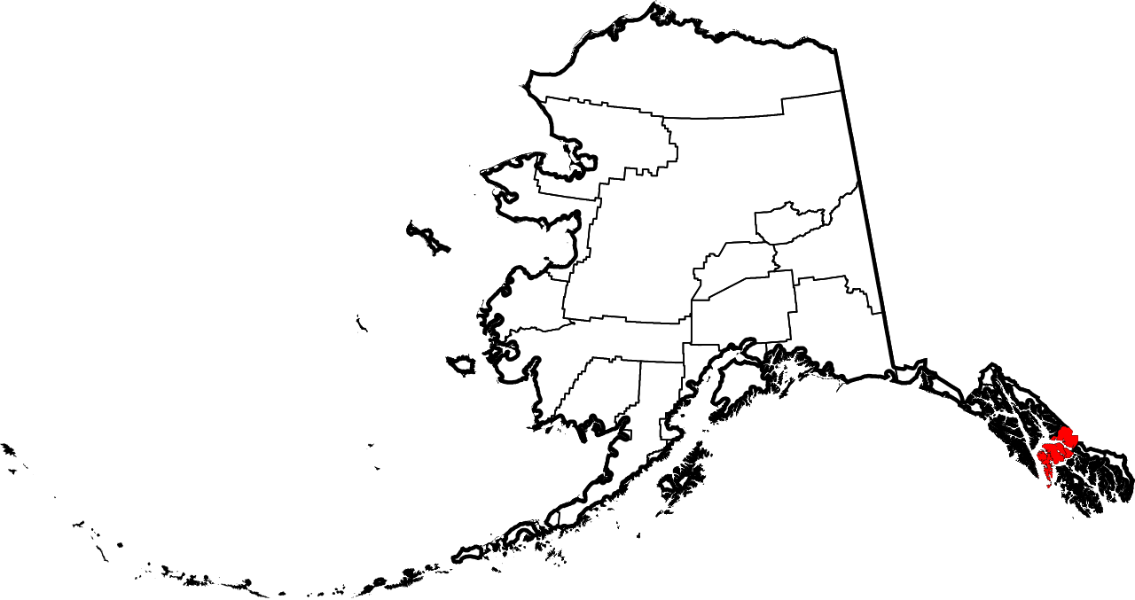
| 目前 | 2024年6月25日 (二) 20:12 | | 1,470 × 777(644 KB) | Nux(對話 | 貢獻) | uniform colors with good contrast |
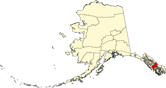
| 2009年1月25日 (日) 22:17 |  | 1,470 × 777(428 KB) | Niagara(對話 | 貢獻) | == Summary == {{Information |Description={{en|1=Map of Alaska highlighting the Petersburg Census Area}} |Source=self made |Author=Dtbohrer |Date=January 25, 2009 |Permission= |other_versi |
無法覆蓋此檔案。
檔案用途
下列3個頁面有用到此檔案:
全域檔案使用狀況
以下其他 wiki 使用了這個檔案:
- ca.wikipedia.org 的使用狀況
- ce.wikipedia.org 的使用狀況
- cy.wikipedia.org 的使用狀況
- de.wikipedia.org 的使用狀況
- en.wikipedia.org 的使用狀況
- List of boroughs and census areas in Alaska
- Petersburg Borough, Alaska
- Mitkof Island
- Wrangell Narrows
- Frederick Sound
- Sumner Strait
- Chatham Strait
- Petrof Bay
- LeConte Glacier
- Wikipedia:WikiProject Alaska
- LeConte Bay
- Chuck River Wilderness
- ABC Islands (Alaska)
- Lloyd R. Roundtree Seaplane Facility
- Sebree Peak
- Lindenberg Peninsula
- Template:PetersburgAK-geo-stub
- Duncan Canal (Alaska)
- Favor Peak
- Sam Peak
- Manzanita Peak
- Duncan Canal (volcanic field)
- National Register of Historic Places listings in Petersburg Borough, Alaska
- Kates Needle
- Woewodski Island
- Charles W
- Category:Populated places in Petersburg Borough, Alaska
- Petersburg Creek–Duncan Salt Chuck Wilderness
- Dry Strait
- User:AridCeption/sandbox
- File talk:Map of Alaska highlighting Petersburg Census Area.svg
- es.wikipedia.org 的使用狀況
- fi.wikipedia.org 的使用狀況
- fr.wikipedia.org 的使用狀況
- ga.wikipedia.org 的使用狀況
- hu.wikipedia.org 的使用狀況
- ja.wikipedia.org 的使用狀況
- ko.wikipedia.org 的使用狀況
- nds.wikipedia.org 的使用狀況
- pl.wikipedia.org 的使用狀況
檢視此檔案的更多全域使用狀況。