File:Map of Alaska highlighting Sitka City and Borough.svg
Salta a la navegació
Salta a la cerca

Mida d'aquesta previsualització PNG del fitxer SVG: 800 × 423 píxels. Altres resolucions: 320 × 169 píxels | 640 × 338 píxels | 1.024 × 541 píxels | 1.280 × 677 píxels | 2.560 × 1.353 píxels | 1.470 × 777 píxels.
Fitxer original (fitxer SVG, nominalment 1.470 × 777 píxels, mida del fitxer: 338 Ko)
Llegendes
Llegendes
Afegeix una explicació d'una línia del que representa aquest fitxer
Resum
[modifica]
| Descripció |
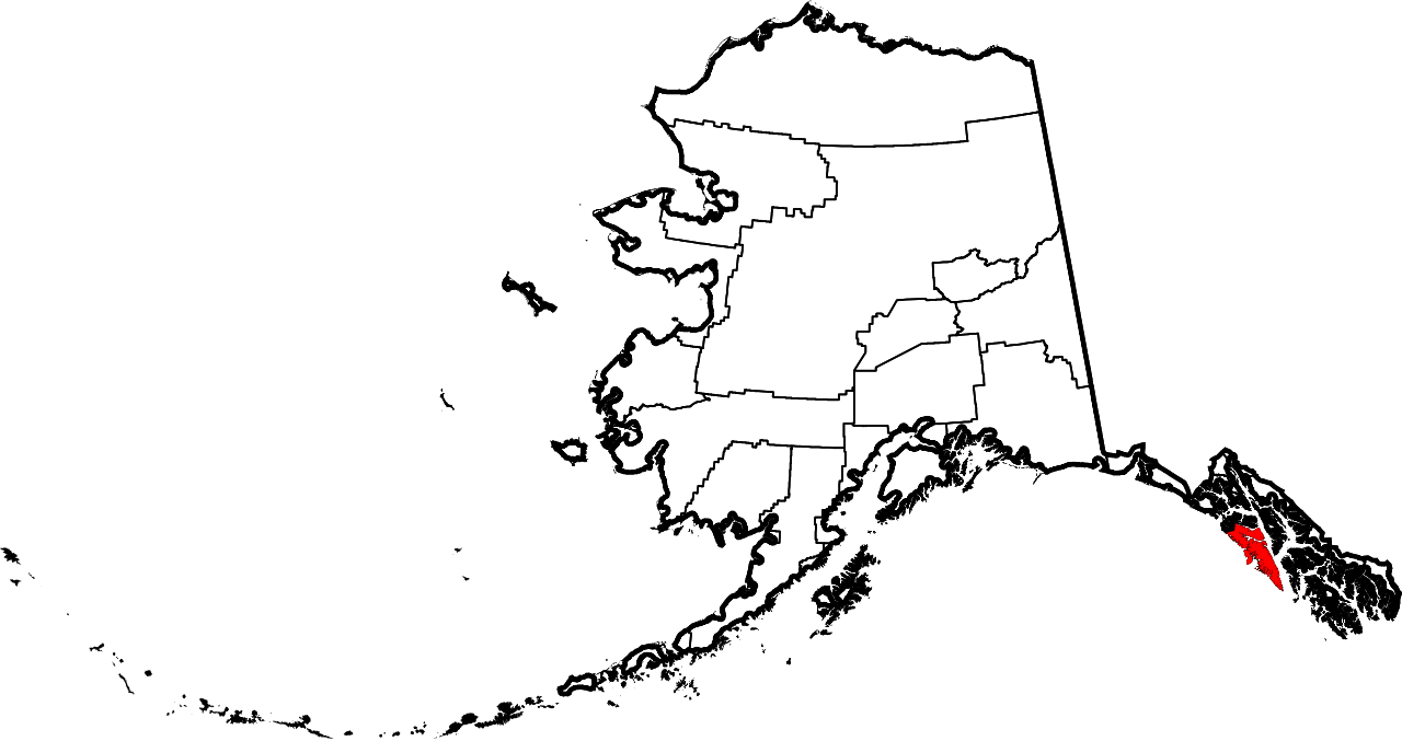
English: This is a locator map showing Sitka City and Borough in Alaska |
| Data | |
| Font |
Treball propi: English: The maps use data from nationalatlas.gov, specifically countyp020.tar.gz on the Raw Data Download page. The maps also use state outline data from statesp020.tar.gz. The Florida maps use hydrogm020.tar.gz to display Lake Okeechobee. |
| Autor | David Benbennick |
| SVG genesis | El codi font d’aquest SVG no és vàlid perquè hi 76 han errors. Aquesta imatge vectorial ha estat creada amb unknown tool |
Llicència
[modifica]
| Jo, el titular del copyright d'aquesta obra, l'allibero al domini públic. Això s'aplica a tot el món. En alguns països això pot no ser legalment possible, en tal cas: Jo faig concessió a tothom del dret d'usar aquesta obra per a qualsevol propòsit, sense cap condició llevat d'aquelles requerides per la llei. |
Historial del fitxer
Cliqueu una data/hora per veure el fitxer tal com era aleshores.
| Data/hora | Miniatura | Dimensions | Usuari/a | Comentari | |
|---|---|---|---|---|---|
| actual | 19:28, 5 març 2006 | | 1.470 × 777 (338 Ko) | David Benbennick (discussió | contribucions) | {{subst:User:Dbenbenn/clm|county=Sitka City and Borough|state=Alaska|type=borough and census area}} |
No podeu sobreescriure aquest fitxer.
Ús del fitxer
Les 6 pàgines següents utilitzen aquest fitxer:
Ús global del fitxer
Utilització d'aquest fitxer en altres wikis:
- Utilització a af.wikipedia.org
- Utilització a ar.wikipedia.org
- Utilització a arz.wikipedia.org
- Utilització a azb.wikipedia.org
- Utilització a bpy.wikipedia.org
- Utilització a br.wikipedia.org
- Utilització a ca.wikipedia.org
- Utilització a ceb.wikipedia.org
- Utilització a el.wikipedia.org
- Utilització a en.wikipedia.org
- List of boroughs and census areas in Alaska
- Sitka, Alaska
- Chatham Strait
- Salisbury Sound
- Japonski Island
- Baranof Warm Springs, Alaska
- Baranof Lake
- Baranof River
- Camp Lake (Alaska)
- Mount Bassie
- Sitka Historical Museum
- Cozian Reef
- Indigo Lake (Alaska)
- Indian River (Alaska)
- Wikipedia:WikiProject Alaska
- Sitka Channel
- Flat Top Mountain (Sitka City and Borough, Alaska)
- Warm Springs Bay
- Mount Furuhelm
- Sheet'ká Ḵwáan Naa Kahídi
- Port Walter
- Eastern Channel
- Silver Bay (Alaska)
- Green Lake (Alaska)
- Sitka Sound
- Daily Sitka Sentinel
- Partofshikof Island
- Catherine Island (Alaska)
- Fairway Island Light
- ABC Islands (Alaska)
- Redoubt Lake
- Swan Lake (Alaska)
- Zubof Rock
- Minett Islet
- User:Nyttend/County templates/AK
- Template:Sitka Borough, Alaska
- Template:SitkaAK-geo-stub
- National Register of Historic Places listings in Sitka, Alaska
- John O'Connell Bridge
- St. Peter's by-the-Sea Episcopal Church (Sitka, Alaska)
Vegeu més usos globals d'aquest fitxer.