File:Map of Alaska highlighting Yukon-Koyukuk Census Area.svg
跳至導覽
跳至搜尋

此 SVG 檔案的 PNG 預覽的大小:800 × 423 像素。 其他解析度:320 × 169 像素 | 640 × 338 像素 | 1,024 × 541 像素 | 1,280 × 677 像素 | 2,560 × 1,353 像素 | 1,470 × 777 像素。
原始檔案 (SVG 檔案,表面大小:1,470 × 777 像素,檔案大小:644 KB)
說明
說明
添加單行說明來描述出檔案所代表的內容
摘要
[編輯]
| 描述 |
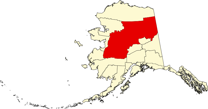
English: This is a locator map showing Yukon-Koyukuk Census Area in Alaska |
| 日期 | |
| 來源 |
自己的作品: English: The maps use data from nationalatlas.gov, specifically countyp020.tar.gz on the Raw Data Download page. The maps also use state outline data from statesp020.tar.gz. The Florida maps use hydrogm020.tar.gz to display Lake Okeechobee. |
| 作者 | David Benbennick |
| SVG開發 | 本vector image使用不明SVG工具創作。 |
授權條款
[編輯]
| 我,此作品的版權所有人,釋出此作品至公共領域。此授權條款在全世界均適用。 這可能在某些國家不合法,如果是的話: 我授予任何人有權利使用此作品於任何用途,除受法律約束外,不受任何限制。 |
檔案歷史
點選日期/時間以檢視該時間的檔案版本。
| 日期/時間 | 縮圖 | 尺寸 | 使用者 | 備註 | |
|---|---|---|---|---|---|
| 目前 | 2024年6月25日 (二) 20:13 | | 1,470 × 777(644 KB) | Nux(留言 | 貢獻) | uniform colors with good contrast |
| 2024年6月17日 (一) 23:00 |  | 1,470 × 777(338 KB) | Nux(留言 | 貢獻) | fix rendering (remove clipping) | |
| 2006年3月5日 (日) 19:30 |  | 1,470 × 777(338 KB) | David Benbennick(留言 | 貢獻) | {{subst:User:Dbenbenn/clm|county=Yukon-Koyukuk Census Area|state=Alaska|type=borough and census area}} |
無法覆蓋此檔案。
檔案用途
下列頁面有用到此檔案:
全域檔案使用狀況
以下其他 wiki 使用了這個檔案:
- av.wikipedia.org 的使用狀況
- bpy.wikipedia.org 的使用狀況
- ca.wikipedia.org 的使用狀況
- Tanana (Alaska)
- Huslia
- Central (Alaska)
- Alatna
- Allakaket
- Anvik
- Arctic Village
- Beaver (Alaska)
- Bettles
- Birch Creek
- Chalkyitsik
- Circle (Alaska)
- Coldfoot
- Evansville (Alaska)
- Fort Yukon
- Four Mile Road
- Galena (Alaska)
- Grayling (Alaska)
- Holy Cross (Alaska)
- Hughes (Alaska)
- Kaltag
- Koyukuk
- Lake Minchumina
- Livengood
- Manley Hot Springs
- Minto (Alaska)
- Nenana
- New Allakaket
- Nikolai (Alaska)
- Nulato
- Rampart
- Ruby (Alaska)
- Shageluk
- Stevens Village
- Takotna
- Venetie (Alaska)
- Wiseman
- Plantilla:Àrea censal de Yukon-Koyukuk
- Categoria:Àrea censal de Yukon-Koyukuk
- Llista de boroughs i àrees censals d'Alaska
- ce.wikipedia.org 的使用狀況
- de.wikipedia.org 的使用狀況
檢視此檔案的更多全域使用狀況。