File:Map of Colorado highlighting Clear Creek County.svg
Aller à la navigation
Aller à la recherche

Taille de cet aperçu PNG pour ce fichier SVG : 800 × 579 pixels. Autres résolutions : 320 × 232 pixels | 640 × 463 pixels | 1 024 × 741 pixels | 1 280 × 926 pixels | 2 560 × 1 852 pixels | 6 234 × 4 511 pixels.
Fichier d’origine (Fichier SVG, nominalement de 6 234 × 4 511 pixels, taille : 67 kio)
Légendes
Légendes
Ajoutez en une ligne la description de ce que représente ce fichier
Description[modifier]
| Description |
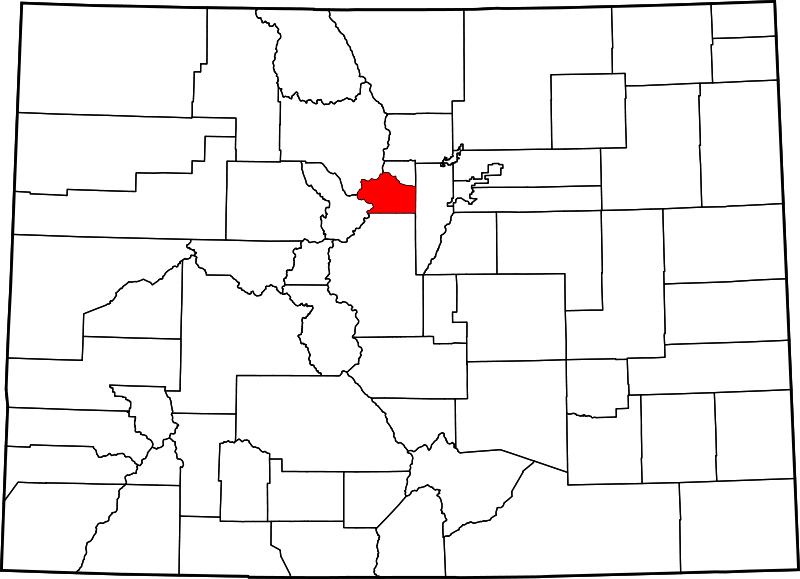
English: A map of Colorado highlighting Clear Creek County. For more information, see Commons:United States county locator maps. |
| Date | |
| Source |
Travail personnel: English: The maps use data from nationalatlas.gov, specifically countyp020.tar.gz on the Raw Data Download page. The maps also use state outline data from statesp020.tar.gz. The Florida maps use hydrogm020.tar.gz to display Lake Okeechobee. |
| Auteur | David Benbennick |
Conditions d’utilisation[modifier]
| Moi, propriétaire des droits d’auteur sur cette œuvre, la place dans le domaine public. Ceci s'applique dans le monde entier. Dans certains pays, ceci peut ne pas être possible ; dans ce cas : J’accorde à toute personne le droit d’utiliser cette œuvre dans n’importe quel but, sans aucune condition, sauf celles requises par la loi. |
Historique du fichier
Cliquer sur une date et heure pour voir le fichier tel qu'il était à ce moment-là.
| Date et heure | Vignette | Dimensions | Utilisateur | Commentaire | |
|---|---|---|---|---|---|
| actuel | 13 février 2006 à 05:42 | | 6 234 × 4 511 (67 kio) | David Benbennick (d | contributions) | New version, smaller file size |
Vous ne pouvez pas remplacer ce fichier.
Utilisations locales du fichier
Les 7 pages suivantes utilisent ce fichier :
- Category:Clear Creek County, Colorado
- Category:Clear Creek County, Colorado Image by Chris Light
- Category:Geography of Clear Creek County, Colorado
- Category:National Register of Historic Places in Clear Creek County, Colorado
- Category:People of Clear Creek County, Colorado
- Category:Populated places in Clear Creek County, Colorado
- Category:Transport in Clear Creek County, Colorado
Utilisations du fichier sur d’autres wikis
Les autres wikis suivants utilisent ce fichier :
- Utilisation sur ar.wikipedia.org
- Utilisation sur be.wikipedia.org
- Utilisation sur bg.wikipedia.org
- Utilisation sur bpy.wikipedia.org
- Utilisation sur cdo.wikipedia.org
- Utilisation sur ceb.wikipedia.org
- Utilisation sur ce.wikipedia.org
- Utilisation sur cs.wikipedia.org
- Utilisation sur cy.wikipedia.org
- Utilisation sur de.wikipedia.org
- Utilisation sur en.wikipedia.org
- Central City, Colorado
- Idaho Springs, Colorado
- List of counties in Colorado
- Clear Creek County, Colorado
- Downieville-Lawson-Dumont, Colorado
- Empire, Colorado
- Georgetown, Colorado
- Silver Plume, Colorado
- St. Mary's, Colorado
- Dumont, Colorado
- Downieville, Colorado
- Lawson, Colorado
- Alice, Colorado
- Template:Clear Creek County, Colorado
- List of Colorado municipalities by county
- User:Nyttend/County templates/CO
- National Register of Historic Places listings in Clear Creek County, Colorado
- Silver Creek, Colorado
- Floyd Hill, Colorado
- Upper Bear Creek, Colorado
- Category:Populated places in Clear Creek County, Colorado
- Blue Valley, Colorado
- Echo Hills, Colorado
- Pine Valley, Colorado
- Upper Witter Gulch, Colorado
- Brook Forest, Colorado
- Bakerville, Colorado
- User:AridCeption/sandbox
- Utilisation sur es.wikipedia.org
- Utilisation sur et.wikipedia.org
- Utilisation sur eu.wikipedia.org
- Utilisation sur fa.wikipedia.org
Voir davantage sur l’utilisation globale de ce fichier.