File:Map of Florida highlighting Hillsborough County.svg
Aller à la navigation
Aller à la recherche

Taille de cet aperçu PNG pour ce fichier SVG : 601 × 599 pixels. Autres résolutions : 241 × 240 pixels | 481 × 480 pixels | 770 × 768 pixels | 1 027 × 1 024 pixels | 2 054 × 2 048 pixels | 7 342 × 7 321 pixels.
Fichier d’origine (Fichier SVG, nominalement de 7 342 × 7 321 pixels, taille : 310 kio)
Légendes
Légendes
Ajoutez en une ligne la description de ce que représente ce fichier
Description[modifier]
| Description |
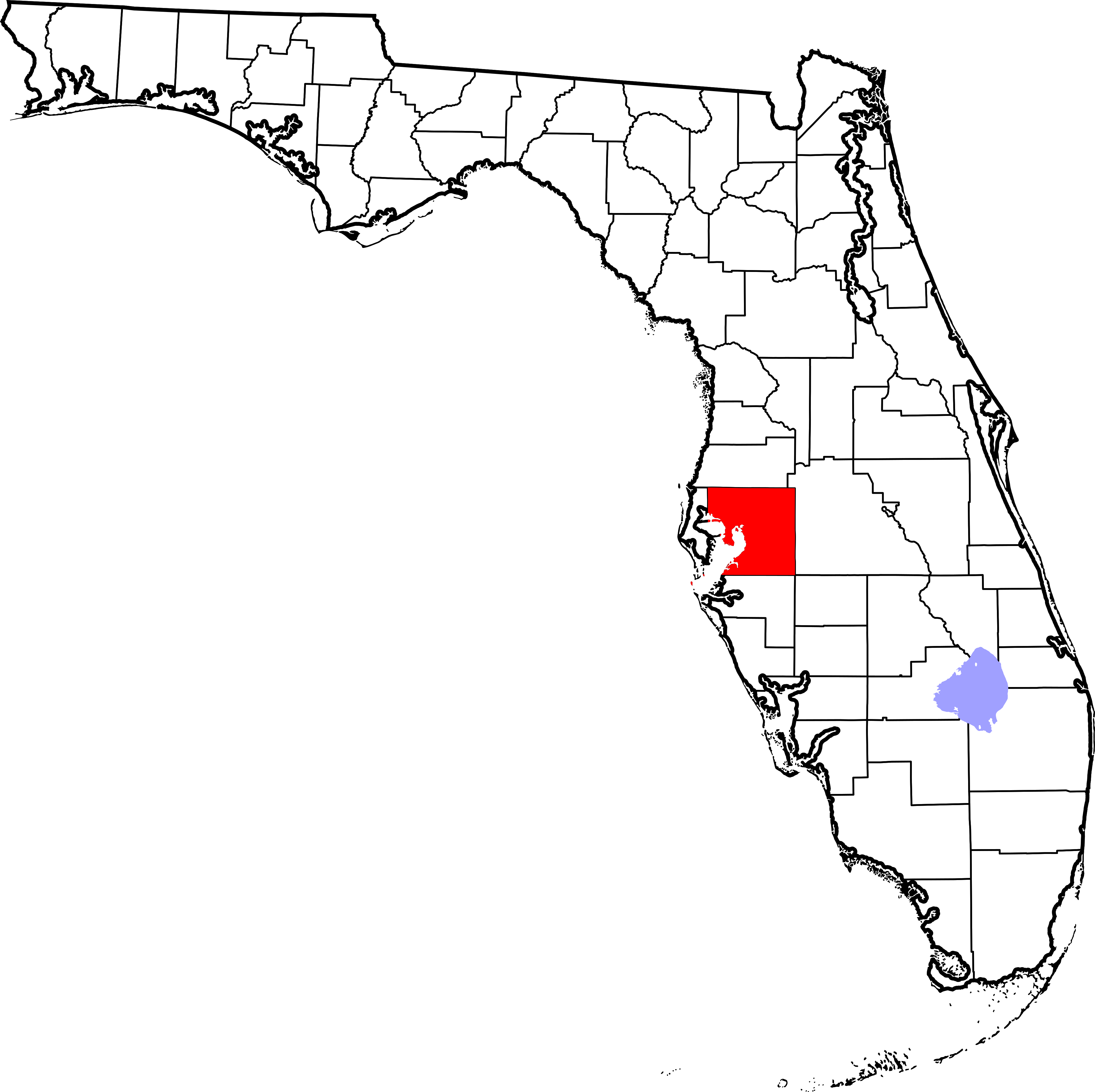
English: This is a locator map showing Hillsborough County in Florida. For more information, see Commons:United States county locator maps. |
| Date | |
| Source |
Travail personnel: English: The maps use data from nationalatlas.gov, specifically countyp020.tar.gz on the Raw Data Download page. The maps also use state outline data from statesp020.tar.gz. The Florida maps use hydrogm020.tar.gz to display Lake Okeechobee. |
| Auteur | David Benbennick |
| Autres versions | Œuvres dérivées de ce fichier : National Weather Service Tampa, Florida county warning area.svg |
Conditions d’utilisation[modifier]
| Moi, propriétaire des droits d’auteur sur cette œuvre, la place dans le domaine public. Ceci s'applique dans le monde entier. Dans certains pays, ceci peut ne pas être possible ; dans ce cas : J’accorde à toute personne le droit d’utiliser cette œuvre dans n’importe quel but, sans aucune condition, sauf celles requises par la loi. |
Historique du fichier
Cliquer sur une date et heure pour voir le fichier tel qu'il était à ce moment-là.
| Date et heure | Vignette | Dimensions | Utilisateur | Commentaire | |
|---|---|---|---|---|---|
| actuel | 14 février 2006 à 05:36 | | 7 342 × 7 321 (310 kio) | David Benbennick (d | contributions) | New version with Lake Okeechobee |
| 12 février 2006 à 10:41 |  | 7 342 × 7 321 (307 kio) | David Benbennick (d | contributions) | {{subst:User:Dbenbenn/clm|county=Hillsborough County|state=Florida}} |
Vous ne pouvez pas remplacer ce fichier.
Utilisations locales du fichier
Les 7 pages suivantes utilisent ce fichier :
- Category:Births in Hillsborough County, Florida
- Category:Deaths in Hillsborough County, Florida
- Category:Hillsborough County, Florida
- Category:Maps of Hillsborough County, Florida
- Category:People of Hillsborough County, Florida
- Category:Populated places in Hillsborough County, Florida
- Category:Views of Hillsborough County, Florida
Utilisations du fichier sur d’autres wikis
Les autres wikis suivants utilisent ce fichier :
- Utilisation sur ar.wikipedia.org
- Utilisation sur bg.wikipedia.org
- Utilisation sur bpy.wikipedia.org
- Utilisation sur ca.wikipedia.org
- Tampa
- Apollo Beach
- Bloomingdale (Florida)
- Boyette
- Brandon (Florida)
- Cheval
- Citrus Park
- Dover (Florida)
- East Lake-Orient Park
- Egypt Lake-Leto
- Fish Hawk
- Gibsonton
- Greater Carrollwood
- Greater Northdale
- Keystone (Florida)
- Lake Magdalene
- Lutz (Florida)
- Mango (Florida)
- Palm River-Clair Mel
- Pebble Creek
- Plant City
- Progress Village
- Ruskin (Florida)
- Seffner
- Temple Terrace
- Thonotosassa
- Town 'n' Country
- University
- Valrico
- Westchase
- Wimauma
- Reserva índia de Tampa
- Plantilla:Comtat de Hillsborough, Florida
- Utilisation sur ceb.wikipedia.org
- Utilisation sur ce.wikipedia.org
- Utilisation sur cs.wikipedia.org
- Utilisation sur cy.wikipedia.org
- Utilisation sur de.wikipedia.org
Voir davantage sur l’utilisation globale de ce fichier.