File:Map of Illinois counties.svg
跳转到导航
跳转到搜索

此SVG文件的PNG预览的大小:336 × 599像素。 其他分辨率:134 × 240像素 | 269 × 480像素 | 430 × 768像素 | 574 × 1,024像素 | 1,148 × 2,048像素 | 3,453 × 6,157像素。
原始文件 (SVG文件,尺寸为3,453 × 6,157像素,文件大小:83 KB)
说明
说明
添加一行文字以描述该文件所表现的内容
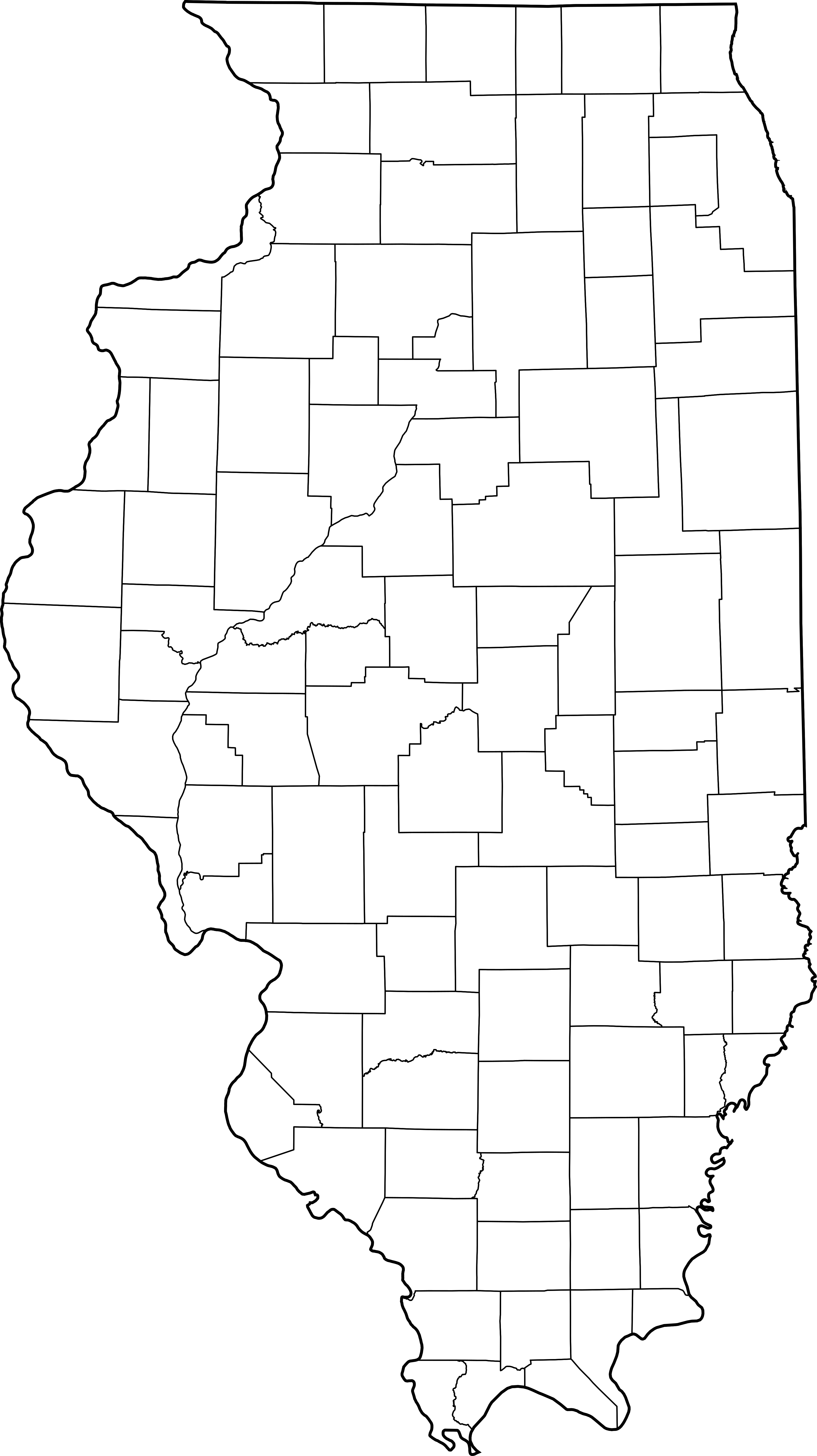
This is a map showing Illinois counties
Modification of David Benbennick's map. For more information, see Commons:United States county locator maps.
| 我,本作品著作权人,释出本作品至公有领域。这适用于全世界。 在一些国家这可能不合法;如果是这样的话,那么: 我无条件地授予任何人以任何目的使用本作品的权利,除非这些条件是法律规定所必需的。 |
derivative works[编辑]
此文件衍生的作品: Illinois judicial districts map.png
文件历史
点击某个日期/时间查看对应时刻的文件。
| 日期/时间 | 缩略图 | 大小 | 用户 | 备注 | |
|---|---|---|---|---|---|
| 当前 | 2007年2月2日 (五) 14:18 | | 3,453 × 6,157(83 KB) | Dual Freq(留言 | 贡献) | This is a map showing Illinois counties Modification of David Benbennick's map. For more information, see Commons:United States county locator maps. {{PD-self}} Maps of Illinois]] |
您不可以覆盖此文件。
文件用途
全域文件用途
以下其他wiki使用此文件: