File:Map of Indiana highlighting Crawford County.svg
Aller à la navigation
Aller à la recherche

Taille de cet aperçu PNG pour ce fichier SVG : 391 × 599 pixels. Autres résolutions : 156 × 240 pixels | 313 × 480 pixels | 501 × 768 pixels | 668 × 1 024 pixels | 1 337 × 2 048 pixels | 2 887 × 4 423 pixels.
Fichier d’origine (Fichier SVG, nominalement de 2 887 × 4 423 pixels, taille : 56 kio)
Légendes
Légendes
Ajoutez en une ligne la description de ce que représente ce fichier
Description[modifier]
| Description |
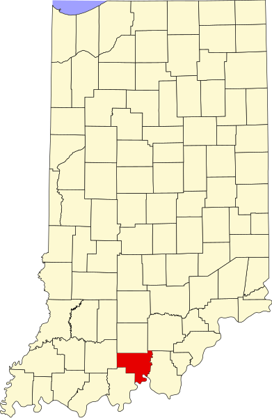
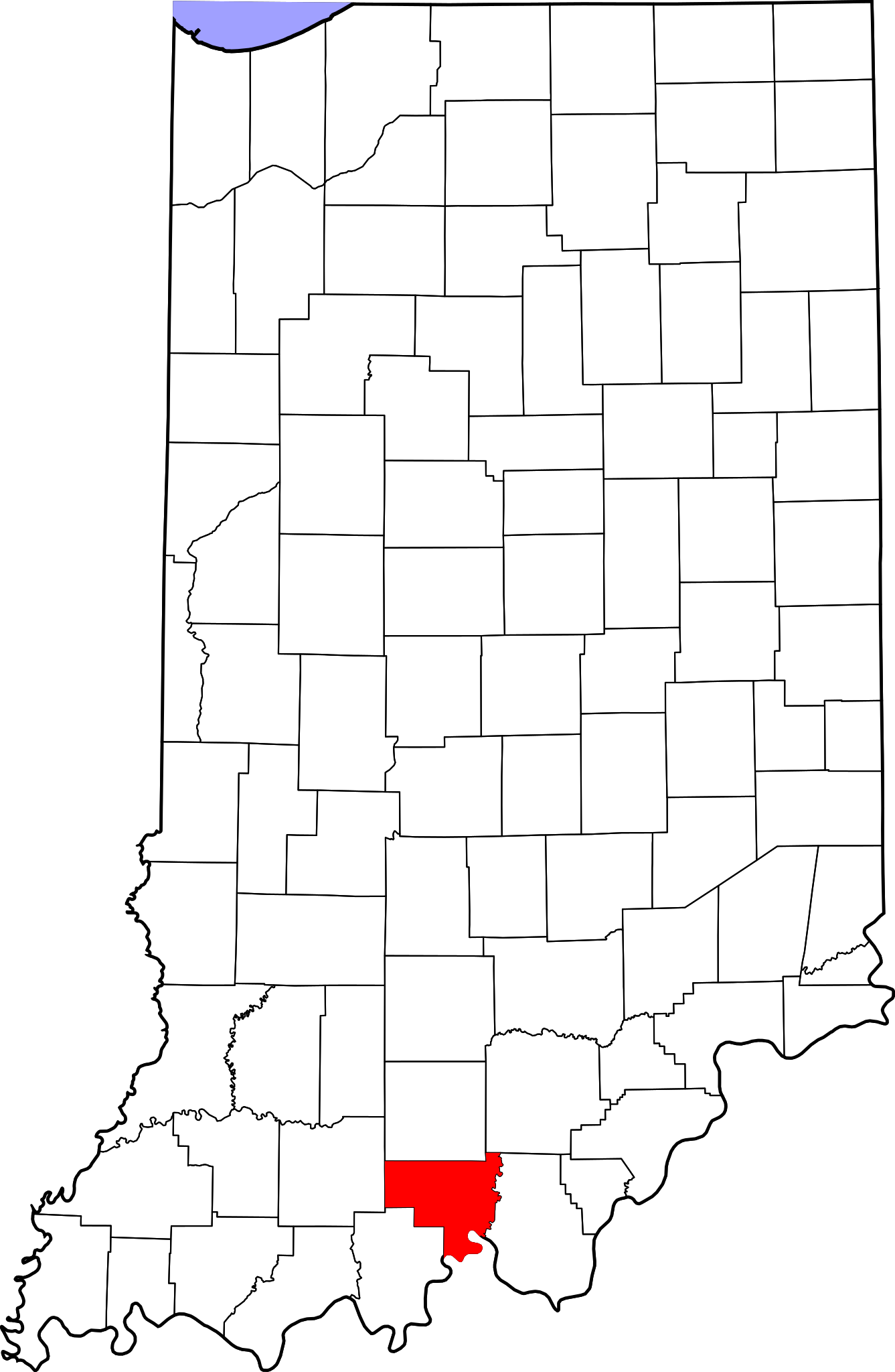
English: This is a locator map showing Crawford County in Indiana. For more information, see Commons:United States county locator maps. |
| Date | |
| Source |
Travail personnel: English: The maps use data from nationalatlas.gov, specifically countyp020.tar.gz on the Raw Data Download page. The maps also use state outline data from statesp020.tar.gz. The Florida maps use hydrogm020.tar.gz to display Lake Okeechobee. |
| Auteur | David Benbennick |
Conditions d’utilisation[modifier]
| Moi, propriétaire des droits d’auteur sur cette œuvre, la place dans le domaine public. Ceci s'applique dans le monde entier. Dans certains pays, ceci peut ne pas être possible ; dans ce cas : J’accorde à toute personne le droit d’utiliser cette œuvre dans n’importe quel but, sans aucune condition, sauf celles requises par la loi. |
Historique du fichier
Cliquer sur une date et heure pour voir le fichier tel qu'il était à ce moment-là.
| Date et heure | Vignette | Dimensions | Utilisateur | Commentaire | |
|---|---|---|---|---|---|
| actuel | 12 février 2006 à 12:09 | | 2 887 × 4 423 (56 kio) | David Benbennick (d | contributions) | {{subst:User:Dbenbenn/clm|county=Crawford County|state=Indiana}} |
Vous ne pouvez pas remplacer ce fichier.
Utilisations locales du fichier
Les 9 pages suivantes utilisent ce fichier :
- Category:Births in Crawford County, Indiana
- Category:Crawford County, Indiana
- Category:Geography of Crawford County, Indiana
- Category:Maps of Crawford County, Indiana
- Category:National Register of Historic Places in Crawford County, Indiana
- Category:People of Crawford County, Indiana
- Category:Populated places in Crawford County, Indiana
- Category:Towns in Crawford County, Indiana
- Category:Visitor attractions in Crawford County, Indiana
Utilisations du fichier sur d’autres wikis
Les autres wikis suivants utilisent ce fichier :
- Utilisation sur ar.wikipedia.org
- Utilisation sur bg.wikipedia.org
- Utilisation sur bpy.wikipedia.org
- Utilisation sur cdo.wikipedia.org
- Utilisation sur ceb.wikipedia.org
- Utilisation sur ce.wikipedia.org
- Utilisation sur cy.wikipedia.org
- Utilisation sur de.wikipedia.org
- Utilisation sur en.wikipedia.org
- List of counties in Indiana
- Crawford County, Indiana
- Alton, Indiana
- English, Indiana
- Leavenworth, Indiana
- Marengo, Indiana
- Milltown, Indiana
- Taswell, Indiana
- Potts Creek Rockshelter
- Template:Crawford County, Indiana
- Boone Township, Crawford County, Indiana
- Jennings Township, Crawford County, Indiana
- Johnson Township, Crawford County, Indiana
- Liberty Township, Crawford County, Indiana
- Ohio Township, Crawford County, Indiana
- Patoka Township, Crawford County, Indiana
- Sterling Township, Crawford County, Indiana
- Union Township, Crawford County, Indiana
- Whiskey Run Township, Crawford County, Indiana
- Template:CrawfordCountyIN-geo-stub
- Eckerty, Indiana
- Cape Sandy, Indiana
- Curby, Indiana
- Grantsburg, Indiana
- Hogtown, Indiana
- Pilot Knob, Indiana
- Riddle, Indiana
- Sulphur, Indiana
- Temple, Indiana
- West Fork, Indiana
- Wickliffe, Indiana
- User:Nyttend/County templates/IN/1
- National Register of Historic Places listings in Crawford County, Indiana
- Category:Populated places in Crawford County, Indiana
- List of Indiana state historical markers in Crawford County
- Beechwood, Indiana
- Brownstown, Crawford County, Indiana
Voir davantage sur l’utilisation globale de ce fichier.