File:Map of Indiana highlighting Vanderburgh County.svg
Ir a la navegación
Ir a la búsqueda

Tamaño de esta previsualización PNG del archivo SVG: 391 × 599 píxeles. Otras resoluciones: 156 × 240 píxeles | 313 × 480 píxeles | 501 × 768 píxeles | 668 × 1024 píxeles | 1337 × 2048 píxeles | 2887 × 4423 píxeles.
Archivo original (archivo SVG, nominalmente 2887 × 4423 píxeles, tamaño de archivo: 56 kB)
Leyendas
Leyendas
Añade una explicación corta acerca de lo que representa este archivo
Resumen[editar]
| Descripción |
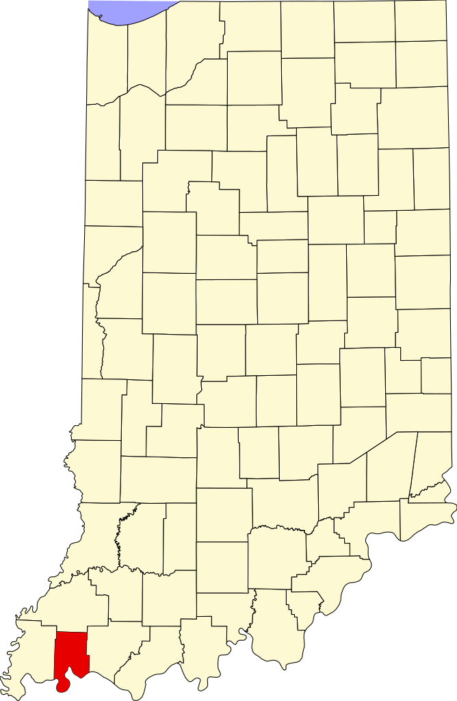
English: This is a locator map showing Vanderburgh County in Indiana. For more information, see Commons:United States county locator maps. |
| Fecha | |
| Fuente |
Trabajo propio: English: The maps use data from nationalatlas.gov, specifically countyp020.tar.gz on the Raw Data Download page. The maps also use state outline data from statesp020.tar.gz. The Florida maps use hydrogm020.tar.gz to display Lake Okeechobee. |
| Autor | David Benbennick |
Licencia[editar]
| Yo, el titular de los derechos de autor de esta obra, lo libero al dominio público. Esto aplica en todo el mundo. En algunos países esto puede no ser legalmente factible; si ello ocurriese: Concedo a cualquier persona el derecho de usar este trabajo para cualquier propósito, sin ningún tipo de condición al menos que éstas sean requeridas por la ley. |
Historial del archivo
Haz clic sobre una fecha y hora para ver el archivo tal como apareció en ese momento.
| Fecha y hora | Miniatura | Dimensiones | Usuario | Comentario | |
|---|---|---|---|---|---|
| actual | 12:12 12 feb 2006 | | 2887 × 4423 (56 kB) | David Benbennick (discusión | contribs.) | {{subst:User:Dbenbenn/clm|county=Vanderburgh County|state=Indiana}} |
No puedes sobrescribir este archivo.
Usos del archivo
Las siguientes páginas usan este archivo:
- Category:Births in Vanderburgh County, Indiana
- Category:Deaths in Vanderburgh County, Indiana
- Category:Education in Vanderburgh County, Indiana
- Category:Historic districts in Vanderburgh County, Indiana
- Category:Maps of Vanderburgh County, Indiana
- Category:National Register of Historic Places in Vanderburgh County, Indiana
- Category:People of Vanderburgh County, Indiana
- Category:Vanderburgh County, Indiana
Uso global del archivo
Las wikis siguientes utilizan este archivo:
- Uso en ar.wikipedia.org
- Uso en az.wikipedia.org
- Uso en bg.wikipedia.org
- Uso en bpy.wikipedia.org
- Uso en cdo.wikipedia.org
- Uso en ceb.wikipedia.org
- Uso en ce.wikipedia.org
- Uso en cy.wikipedia.org
- Uso en de.wikipedia.org
- Uso en en.wikipedia.org
- List of counties in Indiana
- Vanderburgh County, Indiana
- Darmstadt, Indiana
- Evansville, Indiana
- Highland, Vanderburgh County, Indiana
- Melody Hill, Indiana
- Evansville Vanderburgh School Corporation
- Armstrong Township, Vanderburgh County, Indiana
- Center Township, Vanderburgh County, Indiana
- German Township, Vanderburgh County, Indiana
- Knight Township, Vanderburgh County, Indiana
- Perry Township, Vanderburgh County, Indiana
- Pigeon Township, Vanderburgh County, Indiana
- Scott Township, Vanderburgh County, Indiana
- Union Township, Vanderburgh County, Indiana
- Template:Vanderburgh County, Indiana
- Template:VanderburghCountyIN-geo-stub
- Hillsdale, Vanderburgh County, Indiana
- Inglefield, Indiana
- User:Nyttend/County templates/IN/2
- National Register of Historic Places listings in Vanderburgh County, Indiana
- Saint Joseph, Vanderburgh County, Indiana
- University Parkway (Evansville)
- Haynies Corner Arts District
- International World War Peace Tree
- Daylight, Indiana
- McCutchanville, Indiana
- Earle, Indiana
- Armstrong, Indiana
- Red Bank, Indiana
- Mud Center, Indiana
- Category:Populated places in Vanderburgh County, Indiana
- User:Crtew
- List of Indiana state historical markers in Vanderburgh County
- Nisbet, Indiana
- Saint Wendel, Indiana
Ver más uso global de este archivo.