File:Map of Iowa highlighting Harrison County.svg
Aller à la navigation
Aller à la recherche

Taille de cet aperçu PNG pour ce fichier SVG : 800 × 524 pixels. Autres résolutions : 320 × 210 pixels | 640 × 419 pixels | 1 024 × 671 pixels | 1 280 × 838 pixels | 2 560 × 1 677 pixels | 5 350 × 3 504 pixels.
Fichier d’origine (Fichier SVG, nominalement de 5 350 × 3 504 pixels, taille : 43 kio)
Légendes
Légendes
Ajoutez en une ligne la description de ce que représente ce fichier
Description[modifier]
| Description |
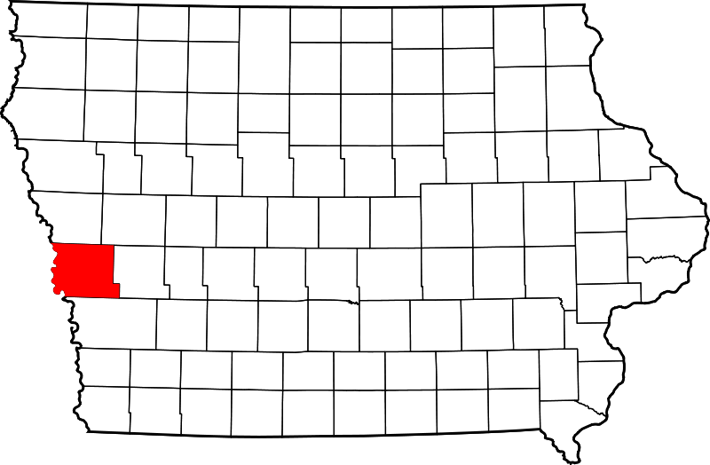
English: This is a locator map showing Harrison County in Iowa. For more information, see Commons:United States county locator maps. |
| Date | |
| Source |
Travail personnel: English: The maps use data from nationalatlas.gov, specifically countyp020.tar.gz on the Raw Data Download page. The maps also use state outline data from statesp020.tar.gz. The Florida maps use hydrogm020.tar.gz to display Lake Okeechobee. |
| Auteur | David Benbennick |
Conditions d’utilisation[modifier]
| Moi, propriétaire des droits d’auteur sur cette œuvre, la place dans le domaine public. Ceci s'applique dans le monde entier. Dans certains pays, ceci peut ne pas être possible ; dans ce cas : J’accorde à toute personne le droit d’utiliser cette œuvre dans n’importe quel but, sans aucune condition, sauf celles requises par la loi. |
Historique du fichier
Cliquer sur une date et heure pour voir le fichier tel qu'il était à ce moment-là.
| Date et heure | Vignette | Dimensions | Utilisateur | Commentaire | |
|---|---|---|---|---|---|
| actuel | 12 février 2006 à 12:14 | | 5 350 × 3 504 (43 kio) | David Benbennick (d | contributions) | {{subst:User:Dbenbenn/clm|county=Harrison County|state=Iowa}} |
Vous ne pouvez pas remplacer ce fichier.
Utilisations locales du fichier
Les 3 pages suivantes utilisent ce fichier :
Utilisations du fichier sur d’autres wikis
Les autres wikis suivants utilisent ce fichier :
- Utilisation sur ar.wikipedia.org
- Utilisation sur bg.wikipedia.org
- Utilisation sur bpy.wikipedia.org
- Utilisation sur cdo.wikipedia.org
- Utilisation sur ceb.wikipedia.org
- Utilisation sur ce.wikipedia.org
- Utilisation sur cy.wikipedia.org
- Utilisation sur de.wikipedia.org
- Utilisation sur en.wikipedia.org
- List of counties in Iowa
- Harrison County, Iowa
- Dunlap, Iowa
- Little Sioux, Iowa
- Logan, Iowa
- Magnolia, Iowa
- Missouri Valley, Iowa
- Modale, Iowa
- Mondamin, Iowa
- Persia, Iowa
- Pisgah, Iowa
- Woodbine, Iowa
- Template:Harrison County, Iowa
- User:Nyttend/County templates/IA/1
- National Register of Historic Places listings in Harrison County, Iowa
- William Haner Polygonal Barn
- California Junction, Iowa
- Harrison County Courthouse (Iowa)
- Old Harrison County Courthouse (Iowa)
- I.O.O.F. Hall (Dunlap, Iowa)
- Category:Populated places in Harrison County, Iowa
- Hard Scratch, Iowa
- River Sioux, Iowa
- Orson, Iowa
- Template:NRHP in Harrison County, Iowa
- Woodbine Lincoln Highway and Brick Street Historic District
Voir davantage sur l’utilisation globale de ce fichier.