File:Map of Kentucky highlighting Barren County.svg
跳至導覽
跳至搜尋

此 SVG 檔案的 PNG 預覽的大小:799 × 344 像素。 其他解析度:320 × 138 像素 | 640 × 276 像素 | 1,024 × 441 像素 | 1,280 × 551 像素 | 2,560 × 1,102 像素 | 2,708 × 1,166 像素。
原始檔案 (SVG 檔案,表面大小:2,708 × 1,166 像素,檔案大小:112 KB)
說明
說明
添加單行說明來描述出檔案所代表的內容
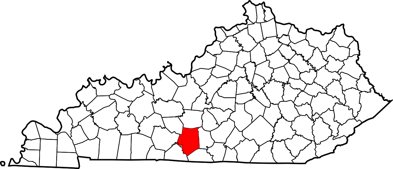
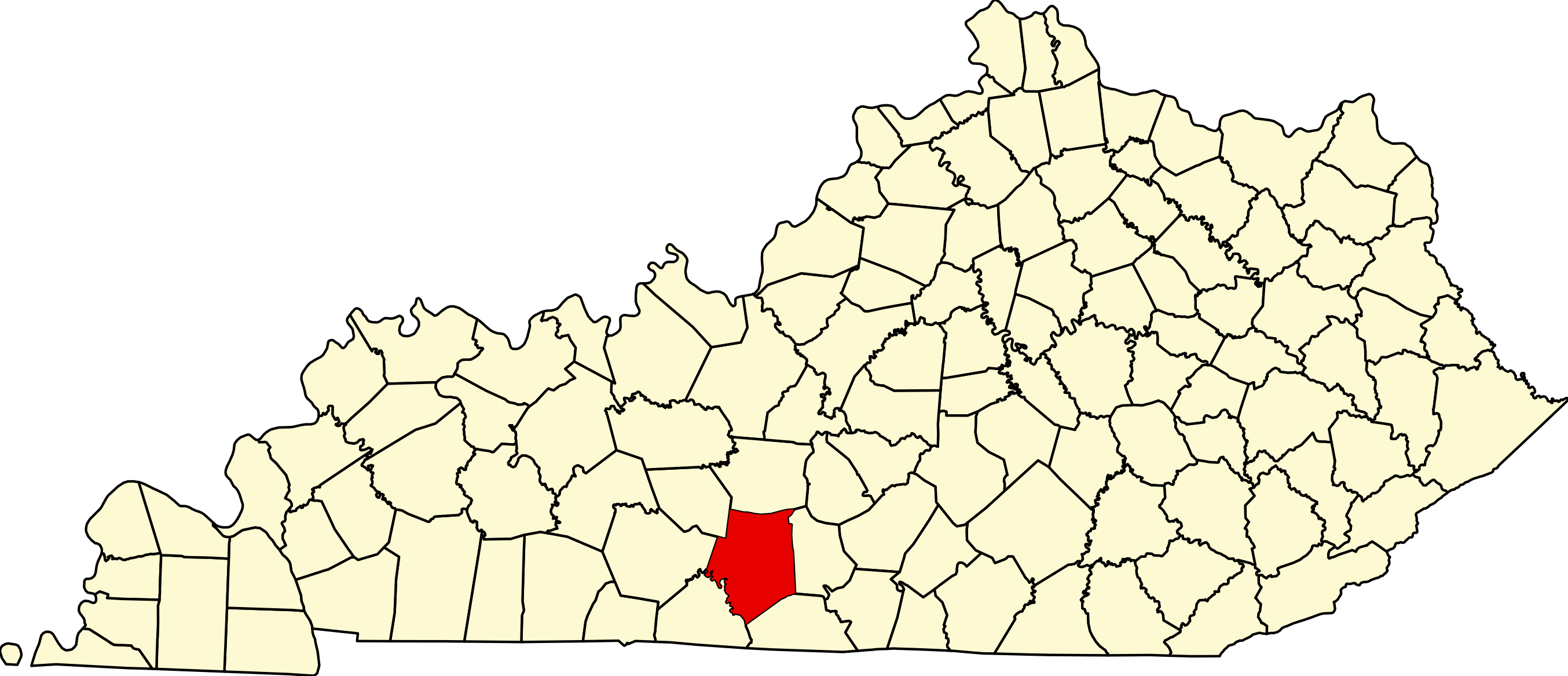
This is a locator map showing Barren County in Kentucky.
David Benbennick made this map. For more information, see Commons:United States county locator maps.
| 我,此作品的版權所有人,釋出此作品至公共領域。此授權條款在全世界均適用。 這可能在某些國家不合法,如果是的話: 我授予任何人有權利使用此作品於任何用途,除受法律約束外,不受任何限制。 |
檔案歷史
點選日期/時間以檢視該時間的檔案版本。
| 日期/時間 | 縮圖 | 尺寸 | 用戶 | 備註 | |
|---|---|---|---|---|---|
| 目前 | 2024年6月25日 (二) 04:02 | | 2,708 × 1,166(112 KB) | Nux(對話 | 貢獻) | fix rendering (remove clipping) |
| 2006年2月12日 (日) 12:20 |  | 6,770 × 2,916(127 KB) | David Benbennick(對話 | 貢獻) | {{subst:User:Dbenbenn/clm|county=Barren County|state=Kentucky}} |
無法覆蓋此檔案。
檔案用途
下列4個頁面有用到此檔案:
全域檔案使用狀況
以下其他 wiki 使用了這個檔案:
- ar.wikipedia.org 的使用狀況
- azb.wikipedia.org 的使用狀況
- bg.wikipedia.org 的使用狀況
- bpy.wikipedia.org 的使用狀況
- cdo.wikipedia.org 的使用狀況
- ceb.wikipedia.org 的使用狀況
- ce.wikipedia.org 的使用狀況
- cs.wikipedia.org 的使用狀況
- cy.wikipedia.org 的使用狀況
- de.wikipedia.org 的使用狀況
- en.wikipedia.org 的使用狀況
- Barren County, Kentucky
- Cave City, Kentucky
- Glasgow, Kentucky
- Hiseville, Kentucky
- Park City, Kentucky
- Eighty Eight, Kentucky
- Barren River Lake
- List of counties in Kentucky
- Barren River
- Template:Barren County, Kentucky
- User:Nyttend/County templates/KY/1
- Lecta, Kentucky
- National Register of Historic Places listings in Barren County, Kentucky
- Category:Populated places in Barren County, Kentucky
- Park, Kentucky
- Nobob, Kentucky
- Goodnight, Kentucky
- Etoile, Kentucky
- Oil City, Kentucky
- Tracy, Kentucky
- Bon Ayr, Kentucky
- Apple Grove, Kentucky
- Bear Wallow, Barren County, Kentucky
- Kino, Kentucky
- Slick Rock, Kentucky
- Finney, Kentucky
- Lucas, Kentucky
- Haywood, Kentucky
- Temple Hill, Kentucky
- Bristletown, Kentucky
- Austin, Kentucky
- Beckton, Kentucky
檢視此檔案的更多全域使用狀況。