File:Map of Kentucky highlighting Lincoln County.svg
Salta a la navegació
Salta a la cerca

Mida d'aquesta previsualització PNG del fitxer SVG: 800 × 345 píxels. Altres resolucions: 320 × 138 píxels | 640 × 276 píxels | 1.024 × 441 píxels | 1.280 × 551 píxels | 2.560 × 1.103 píxels | 6.770 × 2.916 píxels.
Fitxer original (fitxer SVG, nominalment 6.770 × 2.916 píxels, mida del fitxer: 127 Ko)
Llegendes
Llegendes
Afegeix una explicació d'una línia del que representa aquest fitxer
Resum
[modifica]
| Descripció |
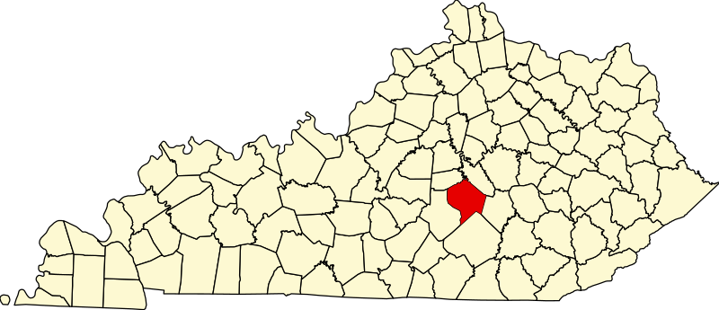
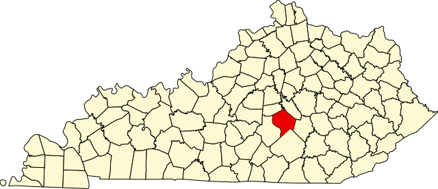
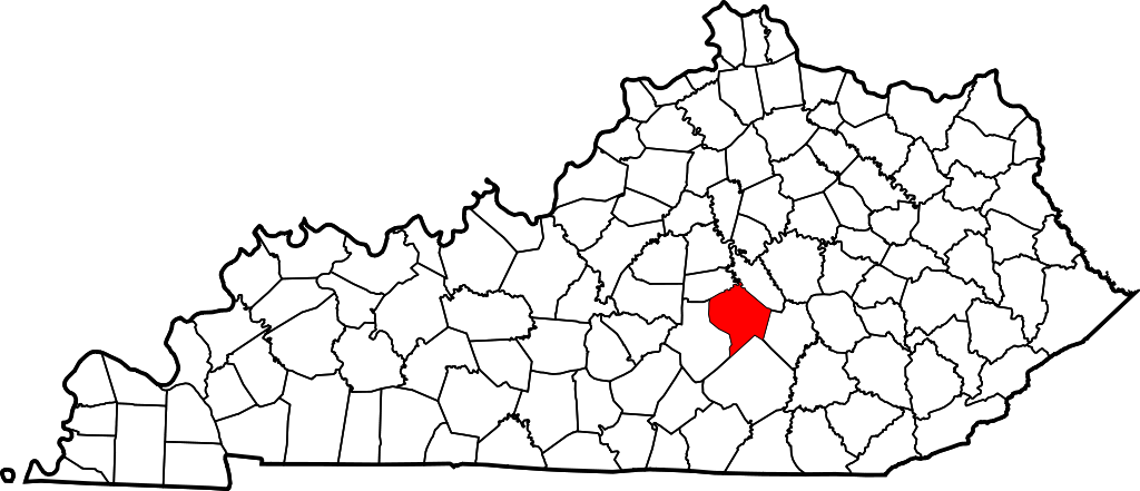
English: This is a locator map showing Lincoln County in Kentucky. For more information, see Commons:United States county locator maps. |
| Data | |
| Font |
Treball propi: English: The maps use data from nationalatlas.gov, specifically countyp020.tar.gz on the Raw Data Download page. The maps also use state outline data from statesp020.tar.gz. The Florida maps use hydrogm020.tar.gz to display Lake Okeechobee. |
| Autor | David Benbennick |
Llicència
[modifica]
| Jo, el titular del copyright d'aquesta obra, l'allibero al domini públic. Això s'aplica a tot el món. En alguns països això pot no ser legalment possible, en tal cas: Jo faig concessió a tothom del dret d'usar aquesta obra per a qualsevol propòsit, sense cap condició llevat d'aquelles requerides per la llei. |
Historial del fitxer
Cliqueu una data/hora per veure el fitxer tal com era aleshores.
| Data/hora | Miniatura | Dimensions | Usuari/a | Comentari | |
|---|---|---|---|---|---|
| actual | 12:23, 12 feb 2006 | | 6.770 × 2.916 (127 Ko) | David Benbennick (discussió | contribucions) | {{subst:User:Dbenbenn/clm|county=Lincoln County|state=Kentucky}} |
No podeu sobreescriure aquest fitxer.
Ús del fitxer
Les 5 pàgines següents utilitzen aquest fitxer:
Ús global del fitxer
Utilització d'aquest fitxer en altres wikis:
- Utilització a ar.wikipedia.org
- Utilització a bg.wikipedia.org
- Utilització a bpy.wikipedia.org
- Utilització a ca.wikipedia.org
- Utilització a cdo.wikipedia.org
- Utilització a ceb.wikipedia.org
- Utilització a ce.wikipedia.org
- Utilització a cs.wikipedia.org
- Utilització a cy.wikipedia.org
- Utilització a de.wikipedia.org
- Utilització a en.wikipedia.org
- Lincoln County, Kentucky
- Crab Orchard, Kentucky
- Hustonville, Kentucky
- Stanford, Kentucky
- Junction City, Kentucky
- Eubank, Kentucky
- Cedar Creek (Dix River tributary)
- List of counties in Kentucky
- Template:Lincoln County, Kentucky
- User:Nyttend/County templates/KY/2
- National Register of Historic Places listings in Lincoln County, Kentucky
- Category:Populated places in Lincoln County, Kentucky
- O K, Kentucky
- Dog Walk, Kentucky
- Chicken Bristle, Kentucky
- Blue Lick, Kentucky
- Turkeytown, Kentucky
- Jumbo, Kentucky
- Hubble, Kentucky
- Walnut Flat, Kentucky
- Preachersville, Kentucky
- Pleasant Point, Lincoln County, Kentucky
- Miracle, Lincoln County, Kentucky
- Kings Mountain, Kentucky
- Waynesburg, Kentucky
Vegeu més usos globals d'aquest fitxer.