File:Map of Maryland highlighting Garrett County.svg
Jump to navigation
Jump to search

Size of this PNG preview of this SVG file: 800 × 419 piksel. Klerderyow erel: 320 × 167 piksel | 640 × 335 piksel | 1,024 × 536 piksel | 1,280 × 670 piksel | 2,560 × 1,340 piksel | 3,858 × 2,019 piksel.
Restren wreydhek (Restren SVG, 3,858 × 2,019 piksel yn hanow, myns an restren: 139 KB)
Captions
Captions
Add a one-line explanation of what this file represents
Berrskrif[golegi]
| Deskrifans |
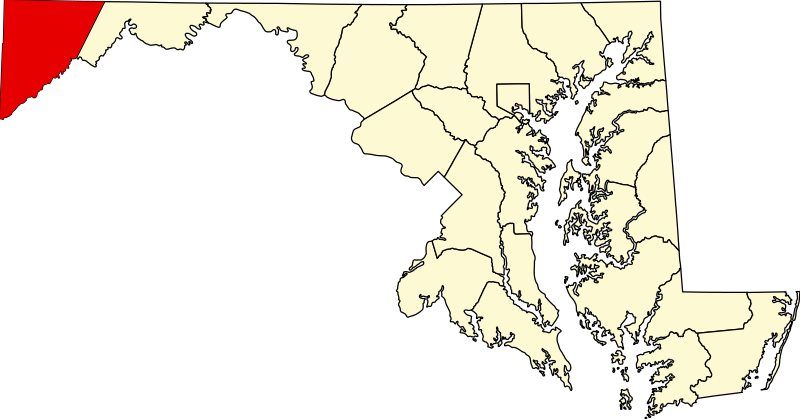
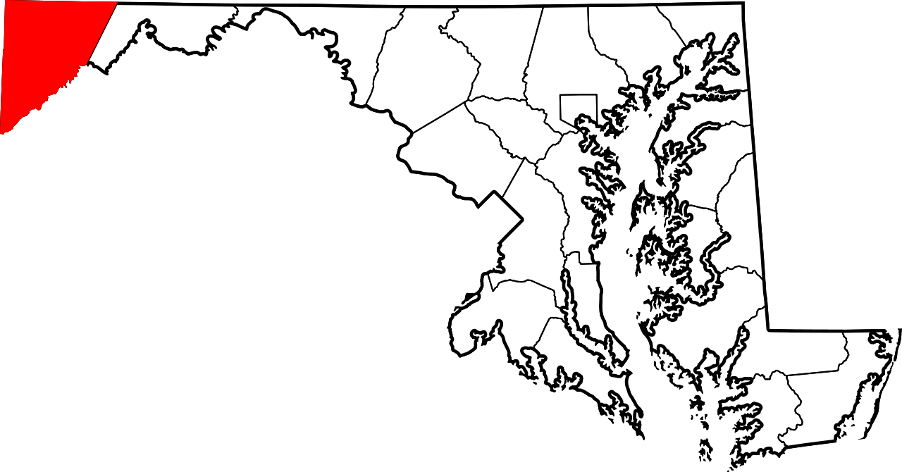
English: This is a locator map showing Garrett County in Maryland. For more information, see Commons:United States county locator maps. |
| Dedhyans | |
| Pennfenten |
Ober honan: English: The maps use data from nationalatlas.gov, specifically countyp020.tar.gz on the Raw Data Download page. The maps also use state outline data from statesp020.tar.gz. The Florida maps use hydrogm020.tar.gz to display Lake Okeechobee. |
| Awtour | David Benbennick |
Leshyans[golegi]
| I, the copyright holder of this work, release this work into the public domain. This applies worldwide. In some countries this may not be legally possible; if so: I grant anyone the right to use this work for any purpose, without any conditions, unless such conditions are required by law. |
Istori an restren
Klyckyewgh war dhedhyans/eur rag gweles an folen dell o an termyn na.
| Dedhyans/Eur | Skeusennik | Mynsow | Devnydhyer | Kampol | |
|---|---|---|---|---|---|
| a-lemmyn | 12:48, 12 Hwevrer 2006 | | 3,858 × 2,019 (139 KB) | David Benbennick (keskows | kevrohow) | {{subst:User:Dbenbenn/clm|county=Garrett County|state=Maryland|type=county}} |
Ny yllowgh gorskrifa an restren ma.
Devnydh an restren
Yma an 7 folen a syw owth usya an restren ma:
- Category:Deaths in Garrett County, Maryland
- Category:Garrett County, Maryland
- Category:Geography of Garrett County, Maryland
- Category:Maps of Garrett County, Maryland
- Category:People of Garrett County, Maryland
- Category:Populated places in Garrett County, Maryland
- Category:Roads in Garrett County, Maryland
Devnydh ollvysel an restren
Yma an wikis erel a syw ow tevnydhya an restren ma:
- Devnydh war ar.wikipedia.org
- Devnydh war bg.wikipedia.org
- Devnydh war bpy.wikipedia.org
- Devnydh war ca.wikipedia.org
- Devnydh war cdo.wikipedia.org
- Devnydh war ceb.wikipedia.org
- Devnydh war ce.wikipedia.org
- Devnydh war cy.wikipedia.org
- Devnydh war de.wikipedia.org
- Devnydh war en.wikipedia.org
- Garrett County, Maryland
- Oakland, Maryland
- List of counties in Maryland
- Accident, Maryland
- Deer Park, Maryland
- Friendsville, Maryland
- Grantsville, Maryland
- Kitzmiller, Maryland
- Loch Lynn Heights, Maryland
- Mountain Lake Park, Maryland
- Western Maryland
- Gorman, Maryland
- Bloomington, Maryland
- Template:Garrett County, Maryland
- McHenry, Maryland
- Swanton, Maryland
- User:Nyttend/County templates/MD
Gweles devnydh ollvysel moy a'n restren ma.