File:Map of Maryland highlighting Howard County.svg
Salta a la navegació
Salta a la cerca

Mida d'aquesta previsualització PNG del fitxer SVG: 800 × 418 píxels. Altres resolucions: 320 × 167 píxels | 640 × 335 píxels | 1.024 × 536 píxels | 1.280 × 670 píxels | 2.560 × 1.339 píxels | 1.929 × 1.009 píxels.
Fitxer original (fitxer SVG, nominalment 1.929 × 1.009 píxels, mida del fitxer: 80 Ko)
Llegendes
Llegendes
Afegeix una explicació d'una línia del que representa aquest fitxer
Resum
[modifica]
| Descripció |
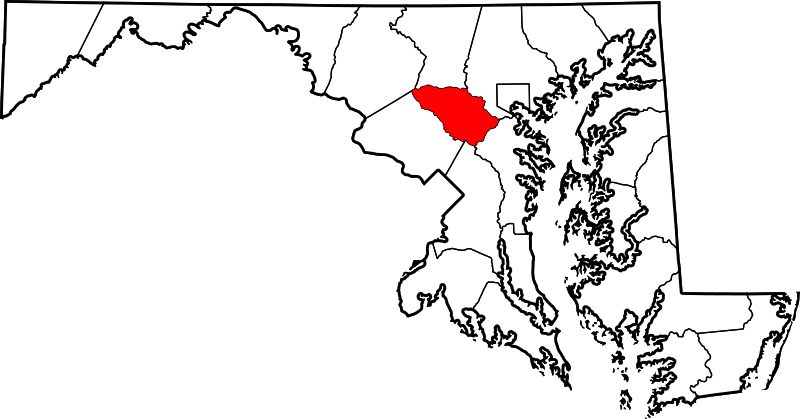
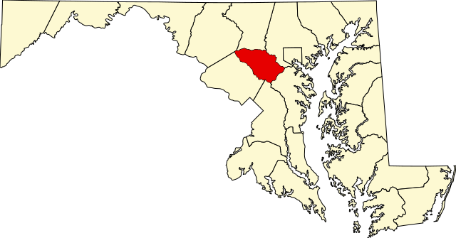
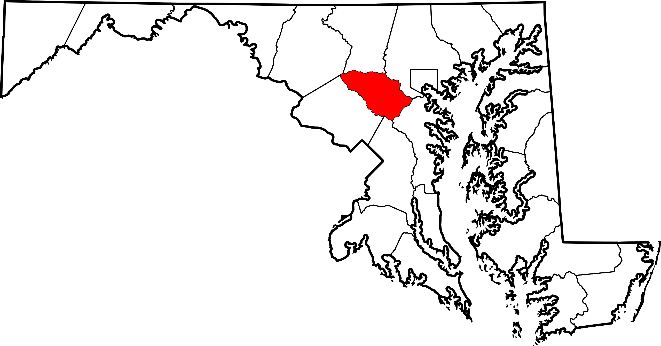
English: This is a locator map showing Howard County in Maryland. For more information, see Commons:United States county locator maps. |
| Data | |
| Font |
Treball propi: English: The maps use data from nationalatlas.gov, specifically countyp020.tar.gz on the Raw Data Download page. The maps also use state outline data from statesp020.tar.gz. The Florida maps use hydrogm020.tar.gz to display Lake Okeechobee. |
| Autor | David Benbennick |
Llicència
[modifica]
| Jo, el titular del copyright d'aquesta obra, l'allibero al domini públic. Això s'aplica a tot el món. En alguns països això pot no ser legalment possible, en tal cas: Jo faig concessió a tothom del dret d'usar aquesta obra per a qualsevol propòsit, sense cap condició llevat d'aquelles requerides per la llei. |
Historial del fitxer
Cliqueu una data/hora per veure el fitxer tal com era aleshores.
| Data/hora | Miniatura | Dimensions | Usuari/a | Comentari | |
|---|---|---|---|---|---|
| actual | 21:42, 24 juny 2024 | | 1.929 × 1.009 (80 Ko) | Nux (discussió | contribucions) | fix rendering (remove clipping) |
| 12:49, 12 feb 2006 |  | 3.858 × 2.019 (139 Ko) | David Benbennick (discussió | contribucions) | {{subst:User:Dbenbenn/clm|county=Howard County|state=Maryland|type=county}} |
No podeu sobreescriure aquest fitxer.
Ús del fitxer
Les 7 pàgines següents utilitzen aquest fitxer:
- Category:Geography of Howard County, Maryland
- Category:Howard County, Maryland
- Category:Maps of Howard County, Maryland
- Category:National Register of Historic Places in Howard County, Maryland
- Category:People of Howard County, Maryland
- Category:Populated places in Howard County, Maryland
- Category:Roads in Howard County, Maryland
Ús global del fitxer
Utilització d'aquest fitxer en altres wikis:
- Utilització a ar.wikipedia.org
- Utilització a azb.wikipedia.org
- Utilització a bg.wikipedia.org
- Utilització a bpy.wikipedia.org
- Utilització a ca.wikipedia.org
- Utilització a cdo.wikipedia.org
- Utilització a ceb.wikipedia.org
- Utilització a ce.wikipedia.org
- Utilització a cy.wikipedia.org
- Utilització a de.wikipedia.org
- Utilització a el.wikipedia.org
- Utilització a en.wikipedia.org
- Howard County, Maryland
- Columbia, Maryland
- List of counties in Maryland
- Elkridge, Maryland
- Ellicott City, Maryland
- North Laurel, Maryland
- Savage-Guilford, Maryland
- Jessup, Maryland
- Clarksville, Maryland
- Guilford, Maryland
- Wilde Lake, Columbia, Maryland
- Savage, Maryland
- River Hill, Columbia, Maryland
- Kings Contrivance, Columbia, Maryland
- Oakland Mills, Columbia, Maryland
- Hickory Ridge, Columbia, Maryland
- Dorsey, Maryland
- Hanover, Maryland
- Long Reach, Columbia, Maryland
- Lisbon, Maryland
- Woodbine, Maryland
- West Friendship, Maryland
- Glenelg, Maryland
- Highland, Maryland
- Marriottsville, Maryland
Vegeu més usos globals d'aquest fitxer.