File:Map of Minnesota highlighting Lake of the Woods County.svg
Ir a la navegación
Ir a la búsqueda

Tamaño de esta previsualización PNG del archivo SVG: 527 × 600 píxeles. Otras resoluciones: 211 × 240 píxeles | 422 × 480 píxeles | 675 × 768 píxeles | 900 × 1024 píxeles | 1800 × 2048 píxeles | 5746 × 6539 píxeles.
Archivo original (archivo SVG, nominalmente 5746 × 6539 píxeles, tamaño de archivo: 104 kB)
Leyendas
Leyendas
Añade una explicación corta acerca de lo que representa este archivo
Resumen[editar]
| Descripción |
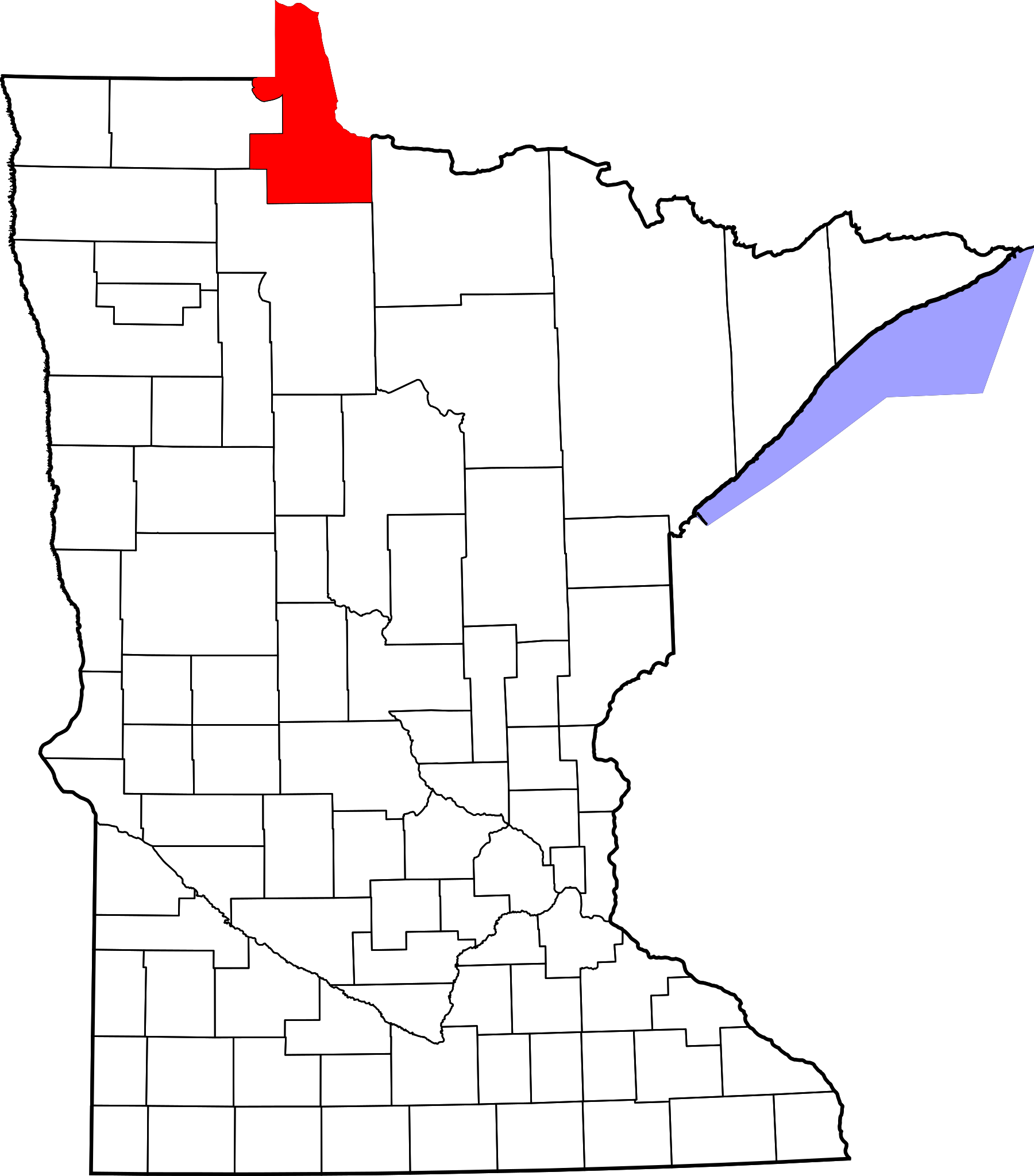
English: This is a locator map showing Lake of the Woods County in Minnesota. For more information, see Commons:United States county locator maps. |
| Fecha | |
| Fuente |
Trabajo propio: English: The maps use data from nationalatlas.gov, specifically countyp020.tar.gz on the Raw Data Download page. The maps also use state outline data from statesp020.tar.gz. The Florida maps use hydrogm020.tar.gz to display Lake Okeechobee. |
| Autor | David Benbennick |
Licencia[editar]
| Yo, el titular de los derechos de autor de esta obra, lo libero al dominio público. Esto aplica en todo el mundo. En algunos países esto puede no ser legalmente factible; si ello ocurriese: Concedo a cualquier persona el derecho de usar este trabajo para cualquier propósito, sin ningún tipo de condición al menos que éstas sean requeridas por la ley. |
Historial del archivo
Haz clic sobre una fecha y hora para ver el archivo tal como apareció en ese momento.
| Fecha y hora | Miniatura | Dimensiones | Usuario | Comentario | |
|---|---|---|---|---|---|
| actual | 13:14 12 feb 2006 | | 5746 × 6539 (104 kB) | David Benbennick (discusión | contribs.) | {{subst:User:Dbenbenn/clm|county=Lake of the Woods County|state=Minnesota|type=county}} |
| 13:03 12 feb 2006 |  | 5746 × 6539 (104 kB) | David Benbennick (discusión | contribs.) | {{subst:User:Dbenbenn/clm|county=Lake of the Woods County|state=Minnesota|type=county}} |
No puedes sobrescribir este archivo.
Usos del archivo
Las siguientes páginas usan este archivo:
Uso global del archivo
Las wikis siguientes utilizan este archivo:
- Uso en ar.wikipedia.org
- Uso en bg.wikipedia.org
- Uso en bpy.wikipedia.org
- Uso en cdo.wikipedia.org
- Uso en ceb.wikipedia.org
- Uso en cy.wikipedia.org
- Uso en da.wikipedia.org
- Uso en de.wikipedia.org
- Uso en en.wikipedia.org
- List of counties in Minnesota
- Lake of the Woods County, Minnesota
- Baudette, Minnesota
- Baudette Township, Lake of the Woods County, Minnesota
- Boone Township, Lake of the Woods County, Minnesota
- Chilgren Township, Lake of the Woods County, Minnesota
- Forest Area Township, Lake of the Woods County, Minnesota
- Gudrid Township, Lake of the Woods County, Minnesota
- Kiel Township, Lake of the Woods County, Minnesota
- Potamo Township, Lake of the Woods County, Minnesota
- Prosper Township, Lake of the Woods County, Minnesota
- Rapid River Township, Lake of the Woods County, Minnesota
- Rulien Township, Lake of the Woods County, Minnesota
- Spooner Township, Lake of the Woods County, Minnesota
- Swiftwater Township, Lake of the Woods County, Minnesota
- Victory Township, Lake of the Woods County, Minnesota
- Wabanica Township, Lake of the Woods County, Minnesota
- Walhalla Township, Lake of the Woods County, Minnesota
- Wheeler Township, Lake of the Woods County, Minnesota
- Williams, Minnesota
- Zippel Township, Lake of the Woods County, Minnesota
- Angle Township, Lake of the Woods County, Minnesota
- Lakewood Township, Lake of the Woods County, Minnesota
- McDougald Township, Lake of the Woods County, Minnesota
- Myhre Township, Lake of the Woods County, Minnesota
- Roosevelt, Minnesota
- Township 157-30, Lake of the Woods County, Minnesota
- Township 158-30, Lake of the Woods County, Minnesota
- Northwest Angle
- Angle Inlet, Minnesota
- Oak Island (Minnesota)
- Red Lake Indian Reservation
- Clementson, Minnesota
Ver más uso global de este archivo.