File:Map of Nebraska highlighting Cherry County.svg
跳至導覽
跳至搜尋

此 SVG 檔案的 PNG 預覽的大小:800 × 368 像素。 其他解析度:320 × 147 像素 | 640 × 294 像素 | 1,024 × 471 像素 | 1,280 × 589 像素 | 2,560 × 1,178 像素 | 7,414 × 3,411 像素。
原始檔案 (SVG 檔案,表面大小:7,414 × 3,411 像素,檔案大小:34 KB)
說明
說明
添加單行說明來描述出檔案所代表的內容
摘要
[編輯]
| 描述 |
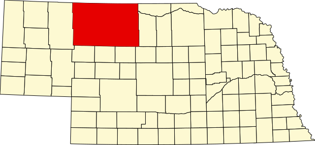
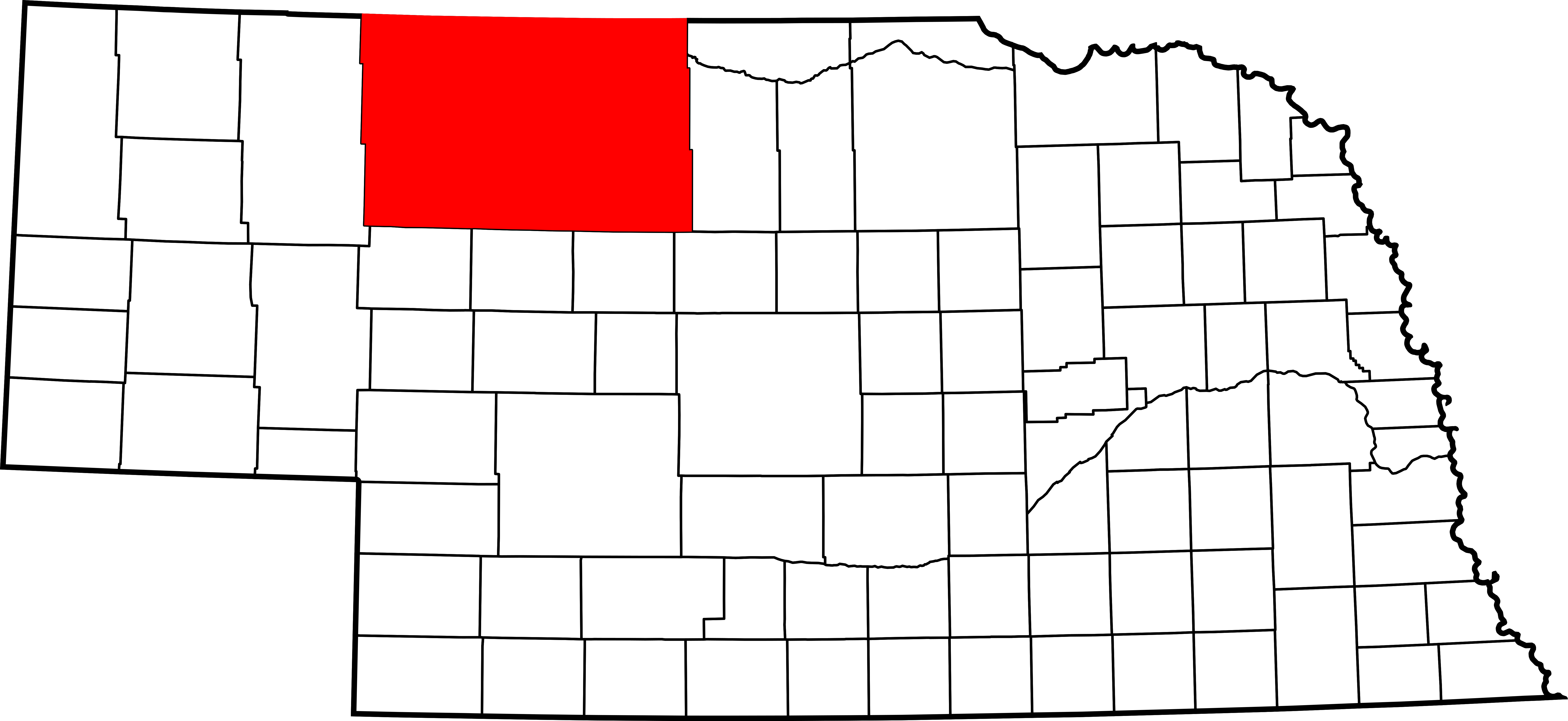
English: This is a locator map showing Cherry County in Nebraska. For more information, see Commons:United States county locator maps. |
| 日期 | |
| 來源 |
自己的作品: English: The maps use data from nationalatlas.gov, specifically countyp020.tar.gz on the Raw Data Download page. The maps also use state outline data from statesp020.tar.gz. The Florida maps use hydrogm020.tar.gz to display Lake Okeechobee. |
| 作者 | David Benbennick |
授權條款
[編輯]
| 我,此作品的版權所有人,釋出此作品至公共領域。此授權條款在全世界均適用。 這可能在某些國家不合法,如果是的話: 我授予任何人有權利使用此作品於任何用途,除受法律約束外,不受任何限制。 |
檔案歷史
點選日期/時間以檢視該時間的檔案版本。
| 日期/時間 | 縮圖 | 尺寸 | 用戶 | 備註 | |
|---|---|---|---|---|---|
| 目前 | 2006年2月12日 (日) 13:32 | | 7,414 × 3,411(34 KB) | David Benbennick(對話 | 貢獻) | {{subst:User:Dbenbenn/clm|county=Cherry County|state=Nebraska|type=county}} |
無法覆蓋此檔案。
檔案用途
下列8個頁面有用到此檔案:
- Category:Births in Cherry County, Nebraska
- Category:Bridges in Cherry County, Nebraska
- Category:Cherry County, Nebraska
- Category:Geography of Cherry County, Nebraska
- Category:Maps of Cherry County, Nebraska
- Category:People of Cherry County, Nebraska
- Category:Populated places in Cherry County, Nebraska
- Category:Transport in Cherry County, Nebraska
全域檔案使用狀況
以下其他 wiki 使用了這個檔案:
- ar.wikipedia.org 的使用狀況
- bg.wikipedia.org 的使用狀況
- bpy.wikipedia.org 的使用狀況
- ca.wikipedia.org 的使用狀況
- cdo.wikipedia.org 的使用狀況
- ceb.wikipedia.org 的使用狀況
- ce.wikipedia.org 的使用狀況
- cy.wikipedia.org 的使用狀況
- de.wikipedia.org 的使用狀況
- en.wikipedia.org 的使用狀況
- List of counties in Nebraska
- Cherry County, Nebraska
- Cody, Nebraska
- Crookston, Nebraska
- Kilgore, Nebraska
- Merriman, Nebraska
- Nenzel, Nebraska
- Valentine, Nebraska
- Wood Lake, Nebraska
- Template:Cherry County, Nebraska
- DeWitty, Nebraska
- Spade Ranch (Nebraska)
- Elsmere, Nebraska
- Sparks, Nebraska
- User:Nyttend/County templates/NE
- National Register of Historic Places listings in Cherry County, Nebraska
- Category:Populated places in Cherry County, Nebraska
- Adamson Bridge
- Bell Bridge
- Berry State Aid Bridge
- Borman Bridge
- Dry Valley Church and Cemetery
- F.M. Walcott House
- Brewer Bridge
- Twin Bridge (Brownlee, Nebraska)
- Cherry County Courthouse
- Bryan Bridge
- Valentine Public School
- United States Post Office-Valentine
檢視此檔案的更多全域使用狀況。