File:Map of Quebec.png
Aller à la navigation
Aller à la recherche

Taille de cet aperçu : 569 × 600 pixels. Autres résolutions : 228 × 240 pixels | 455 × 480 pixels.
Fichier d’origine (800 × 843 pixels, taille du fichier : 316 kio, type MIME : image/png)
Légendes
Légendes
Ajoutez en une ligne la description de ce que représente ce fichier
| Description |
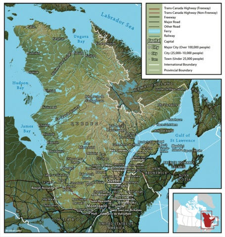
English: Map of Québec
Français : Carte du Québec |
||
| Date | |||
| Source | en:Image:Map of Quebec (English).png created by John Fowler (cartographer), who released the image to the public domain. Geospatial data from: The Atlas of Canada, The National Atlas of the United States and U.S. Geological Survey. | ||
| Auteur | John Fowler / Upload by Leslie | ||
| Autorisation (Réutilisation de ce fichier) |
|
||
| Autres versions |
Français : Version française Image:Map of Quebec-fr.png
English: French version Image:Map of Quebec-fr.png |
.png)
Historique du fichier
Cliquer sur une date et heure pour voir le fichier tel qu'il était à ce moment-là.
| Date et heure | Vignette | Dimensions | Utilisateur | Commentaire | |
|---|---|---|---|---|---|
| actuel | 26 février 2006 à 09:22 | | 800 × 843 (316 kio) | Leslie (d | contributions) | {{PD}} Created by John Fowler, who released the image to the public domain. en:Image:Map of Quebec (English).png Category:Québec |
Vous ne pouvez pas remplacer ce fichier.
Utilisations locales du fichier
Les 3 pages suivantes utilisent ce fichier :
Utilisations du fichier sur d’autres wikis
Les autres wikis suivants utilisent ce fichier :
- Utilisation sur en.wikipedia.org
- Utilisation sur et.wikipedia.org
- Utilisation sur fi.wikipedia.org
- Utilisation sur he.wikipedia.org
- Utilisation sur it.wikipedia.org
- Utilisation sur mk.wikipedia.org
- Utilisation sur nl.wikipedia.org
- Utilisation sur no.wikipedia.org
- Utilisation sur zh.wikipedia.org