File:Map of Russia (2014–2022) - Udmurtia.svg
跳转到导航
跳转到搜索

此SVG文件的PNG预览的大小:800 × 440像素。 其他分辨率:320 × 176像素 | 640 × 352像素 | 1,024 × 563像素 | 1,280 × 704像素 | 2,560 × 1,407像素 | 1,541 × 847像素。
原始文件 (SVG文件,尺寸为1,541 × 847像素,文件大小:6.56 MB)
说明
说明
添加一行文字以描述该文件所表现的内容
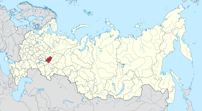
Udmurtia on the map of Russia

|
The boundaries on this map show the de facto situation. This is just one of several different views on the subject (see COM:NPOV). |
摘要
[编辑]_-_Udmurtia.svg&action=edit§ion=1)
| 描述 |
|
| 日期 | |
| 来源 | 自己的作品 |
| 作者 | Stasyan117 |
许可协议
[编辑]_-_Udmurtia.svg&action=edit§ion=2)
| 此地图不符合版权的资格,因此属于公有领域,因为其完全包含公共财产信息,不包含原作者身份。详情参见Commons:Threshold of originality § Maps。
|
| 注解 | 该图片含有注解:在维基媒体共享资源上查看注解 |
_-_Udmurtia.svg)
文件历史
点击某个日期/时间查看对应时刻的文件。
| 日期/时间 | 缩略图 | 大小 | 用户 | 备注 | |
|---|---|---|---|---|---|
| 当前 | 2015年4月21日 (二) 03:11 | | 1,541 × 847(6.56 MB) | Stasyan117(留言 | 贡献) | User created page with UploadWizard |
您不可以覆盖此文件。
文件用途
以下10个页面使用本文件:
全域文件用途
以下其他wiki使用此文件:
- ar.wikipedia.org上的用途
- ast.wikipedia.org上的用途
- azb.wikipedia.org上的用途
- az.wikipedia.org上的用途
- ba.wikipedia.org上的用途
- be.wikipedia.org上的用途
- bxr.wikipedia.org上的用途
- ca.wikipedia.org上的用途
- cdo.wikipedia.org上的用途
- ceb.wikipedia.org上的用途
- ce.wikipedia.org上的用途
- crh.wikipedia.org上的用途
- cs.wikipedia.org上的用途
- cv.wikipedia.org上的用途
- da.wikipedia.org上的用途
- diq.wikipedia.org上的用途
- el.wikipedia.org上的用途
- en.wikipedia.org上的用途
- eo.wikinews.org上的用途
- et.wikipedia.org上的用途
- eu.wikipedia.org上的用途
- fiu-vro.wikipedia.org上的用途
- fi.wikipedia.org上的用途
- frr.wikipedia.org上的用途
- ga.wikipedia.org上的用途
- gl.wikipedia.org上的用途
- hu.wikipedia.org上的用途
- hy.wikipedia.org上的用途
- incubator.wikimedia.org上的用途
- it.wikipedia.org上的用途
- ja.wikipedia.org上的用途
- kk.wikipedia.org上的用途
- koi.wikipedia.org上的用途
- krc.wikipedia.org上的用途
- kv.wikipedia.org上的用途
- ky.wikipedia.org上的用途
- la.wikipedia.org上的用途
- lld.wikipedia.org上的用途
查看此文件的更多全域用途。
_-_Udmurtia.svg)
_-_Udmurtia.svg&oldid=906344470)