File:Map of Swissvale, Allegheny County, Pennsylvania Highlighted.png

元のファイル (2,624 × 2,455 ピクセル、ファイルサイズ: 131キロバイト、MIME タイプ: image/png)
キャプション
キャプション
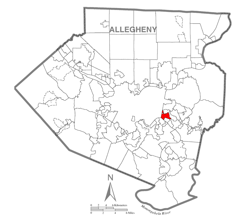
| 解説 | A map of Allegheny County showing Swissvale, Pennsylvania (alternate) highlighted on the map. | |||
| 日付 | ||||
| 原典 | Source image taken from the United States Census Bureau's website pa_cosub.pdf. Image was modified by Ram-Man. | |||
| 作者 | (c)2006 Derek Ramsey (Ram-Man) (from U.S. Census Bureau source) | |||
| 許可 (ファイルの再利用) |
A United States Census Bureau / Government work is in the public domain, however, my modifications are licensed as follows: You may NOT use this image on your own web site or anywhere else unless you release this image and any derivative works (e.g. your web site) by following the terms of one of the following licenses. Any other use will be considered a breach of copyright and I reserve the right of legal action. If you have not read the terms of these licenses or do not understand them, then do not use this image. この作品の著作権者である私は、この作品を以下のライセンスで提供します。
あなたは上記のライセンスから、どれか一つ以上を選択できます。 |
|||
| その他のバージョン |
Image:Map of Allegheny County, Pennsylvania.png - Source map before highlighting (with text). Image:Map of Allegheny County, Pennsylvania No Text.png - Source map before highlighting (without text). |

ファイルの履歴
過去の版のファイルを表示するには、その版の日時をクリックしてください。
| 日付と時刻 | サムネイル | 寸法 | 利用者 | コメント | |
|---|---|---|---|---|---|
| 現在の版 | 2006年10月11日 (水) 02:43 | | 2,624 × 2,455 (131キロバイト) | Ram-Man (トーク | 投稿記録) | {{Information| |Description={{PennMapDesc|Allegheny|Swissvale}} |Source=Source image taken from the United States Census Bureau's website [http://www2.census.gov/geo/maps/general_ref/cousub_outline/cen2k_pgsz/pa_cosub.pdf pa_cosub.pdf]. Image was modified |
このファイルは上書きできません。
ファイルの使用状況
このファイルを使用しているページはありません。
グローバルなファイル使用状況
以下に挙げる他のウィキがこの画像を使っています:
- it.wikipedia.org での使用状況
- ja.wikipedia.org での使用状況
- sh.wikipedia.org での使用状況
- sr.wikipedia.org での使用状況
- vi.wikipedia.org での使用状況