File:Map of USA UT.svg
Aller à la navigation
Aller à la recherche

Taille de cet aperçu PNG pour ce fichier SVG : 286 × 186 pixels. Autres résolutions : 320 × 208 pixels | 640 × 416 pixels | 1 024 × 666 pixels | 1 280 × 832 pixels | 2 560 × 1 665 pixels.
Fichier d’origine (Fichier SVG, nominalement de 286 × 186 pixels, taille : 167 kio)
Légendes
Légendes
Ajoutez en une ligne la description de ce que représente ce fichier
Clickable version
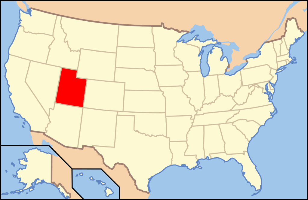
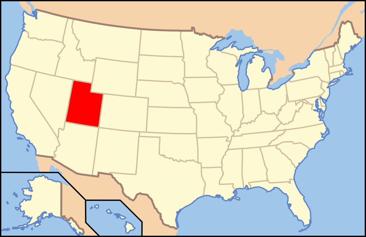
| Description | Map of USA with Utah highlighted | ||||||||
| Date | see file history below. | ||||||||
| Source | own work by uploader, based on Image:Map of USA without state names.svg | ||||||||
| Auteur |
This version: uploader Base versions this one is derived from: originally created by en:User:Wapcaplet |
||||||||
| Autorisation (Réutilisation de ce fichier) |
Ce fichier est disponible selon les termes de la licence Creative Commons Attribution 2.0 Générique.
|
||||||||
| Autres versions | image:Map of USA with state names.svg |

Historique du fichier
Cliquer sur une date et heure pour voir le fichier tel qu'il était à ce moment-là.
| Date et heure | Vignette | Dimensions | Utilisateur | Commentaire | |
|---|---|---|---|---|---|
| actuel | 9 juin 2006 à 10:38 | | 286 × 186 (167 kio) | Huebi~commonswiki (d | contributions) | {{Information| |Description=Map of USA with Utah highlighted |other_versions=image:Map of USA with state names.svg }} Category:Maps of the United States Category:Maps of Utah Category:SVG maps {{GFDL-en}}{{cc-by-2.0}}{{cc-by-sa-1.0}}{{c |
Vous ne pouvez pas remplacer ce fichier.
Utilisations locales du fichier
Les 16 pages suivantes utilisent ce fichier :
- Locator maps for U.S. states
- File:Map of USA UT.svg
- File:Map of USA highlighting Utah.png
- Category:Cities in Utah
- Category:Education in Uintah County, Utah
- Category:Geography of Uintah County, Utah
- Category:Locator maps of cities in Utah
- Category:Locator maps of counties of Utah
- Category:Maps of Catholic dioceses of Utah
- Category:Maps of Uintah County, Utah
- Category:Maps of Utah
- Category:People of Uintah County, Utah
- Category:Populated places in Uintah County, Utah
- Category:Transport in Uintah County, Utah
- Category:Uintah County, Utah
- Category:Videos from Utah
Utilisations du fichier sur d’autres wikis
Les autres wikis suivants utilisent ce fichier :
- Utilisation sur af.wikipedia.org
- Utilisation sur an.wikipedia.org
- Utilisation sur arc.wikipedia.org
- Utilisation sur ar.wikipedia.org
- Utilisation sur arz.wikipedia.org
- Utilisation sur ay.wikipedia.org
- Utilisation sur azb.wikipedia.org
- قاردن، یوتا
- ریورساید، یوتا
- اردا، یوتا
- ساوت ویلارد، یوتا
- فلیمینق قورج، یوتا
- کاربونویل، یوتا
- داقوی، یوتا
- کلیرکریک، یوتا
- استنزبری پارک، یوتا
- داتچ جان، یوتا
- ثاچر، یوتا
- کورین، یوتا
- آلتا، یوتا
- آلتون، یوتا
- دیوئیویل، یوتا
- ایست کاربون، یوتا
- اوفیر، یوتا
- اورئینجویل، یوتا
- اوردرویل، یوتا
- ولینقتون، یوتا
- تول، یوتا
- المو، یوتا
- وندوور، یوتا
- الوود، یوتا
- امری، یوتا
- ترمونتون، یوتا
- پری، یوتا
- بیر ریور سیتی، یوتا
- فرون، یوتا
- فیلدینق، یوتا
- بیور، یوتا
- پلاین سیتی، یوتا
- پلیموت، یوتا
- بیکنل، یوتا
- بیق واتر، یوتا
- پورتئیج، یوتا
- بلوفدئیل، یوتا
- قارلاند، یوتا
- پریس، یوتا
- قلندئیل، یوتا
- راندولف، یوتا
- بریقام سیتی، یوتا
- ویلارد، یوتا
Voir davantage sur l’utilisation globale de ce fichier.