File:Map of Vientiane Prefecture, Laos.jpg
Map_of_Vientiane_Prefecture,_Laos.jpg (715 × 471 ピクセル、ファイルサイズ: 204キロバイト、MIME タイプ: image/jpeg)
キャプション
キャプション
概要[編集]
| 解説 |
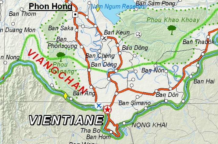
English: Map of Vientiane Prefecture, Laos. |
| 日付 | |
| 原典 | Based on File:UNOSAT Laos Base Map.jpg |
| 作者 | UNOSAT, United Nations, modified by Dr. Blofeld |
| 許可 (ファイルの再利用) |
The original file is marked with the UN symbol which means that it is a public domain resource. |
ライセンス[編集]
| This image is a map derived from a United Nations map.
Unless stated otherwise, UN maps are to be considered in the public domain. This applies worldwide. UN maps are, in principle, open source material and you can use them in your work or for making your own map. UN requests however that you delete the UN name, logo and reference number upon any modification to the map. Content of your map will be your responsibility. You can state in your publication, if you wish, something like: based on UN map … (map name, map number, revision number and date). See: Geospatial Information Section. And: Geospatial, location data for a better world. |
 |
ファイルの履歴
過去の版のファイルを表示するには、その版の日時をクリックしてください。
| 日付と時刻 | サムネイル | 寸法 | 利用者 | コメント | |
|---|---|---|---|---|---|
| 現在の版 | 2012年12月6日 (木) 21:07 | | 715 × 471 (204キロバイト) | Blofeld Dr. (トーク | 投稿記録) | {{Information |Description ={{en|1=d}} |Source =d |Author =d |Date =d |Permission = |other_versions = }} d |
このファイルは上書きできません。
ファイルの使用状況
このファイルを使用しているページはありません。
グローバルなファイル使用状況
以下に挙げる他のウィキがこの画像を使っています:
- en.wikipedia.org での使用状況
- fa.wikipedia.org での使用状況
- fr.wikipedia.org での使用状況
- hr.wikipedia.org での使用状況
- km.wikipedia.org での使用状況
- lo.wikipedia.org での使用状況
- mn.wikipedia.org での使用状況
- nn.wikipedia.org での使用状況
- th.wikipedia.org での使用状況
- ur.wikipedia.org での使用状況