File:Map of Virginia highlighting Wythe County.svg
Aller à la navigation
Aller à la recherche

Taille de cet aperçu PNG pour ce fichier SVG : 800 × 347 pixels. Autres résolutions : 320 × 139 pixels | 640 × 278 pixels | 1 024 × 444 pixels | 1 280 × 555 pixels | 2 560 × 1 110 pixels | 7 486 × 3 247 pixels.
Fichier d’origine (Fichier SVG, nominalement de 7 486 × 3 247 pixels, taille : 223 kio)
Légendes
Légendes
Ajoutez en une ligne la description de ce que représente ce fichier
Description[modifier]
| Description |
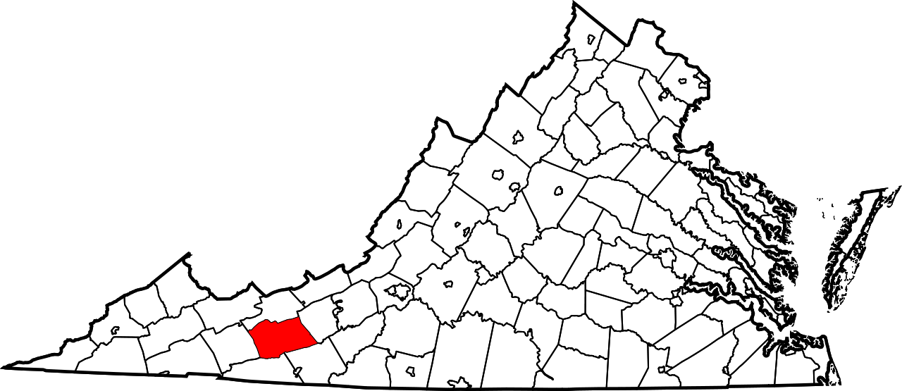
English: This is a locator map showing Wythe County in Virginia. For more information, see Commons:United States county locator maps. |
| Date | |
| Source |
Travail personnel: English: The maps use data from nationalatlas.gov, specifically countyp020.tar.gz on the Raw Data Download page. The maps also use state outline data from statesp020.tar.gz. The Florida maps use hydrogm020.tar.gz to display Lake Okeechobee. |
| Auteur | David Benbennick |
| SVG information | Le code de ce fichier SVG n'est pas valide en raison de 73 erreurs. Cette carte W3C-invalide a été créée avec un logiciel SVG inconnu |
Conditions d’utilisation[modifier]
| Moi, propriétaire des droits d’auteur sur cette œuvre, la place dans le domaine public. Ceci s'applique dans le monde entier. Dans certains pays, ceci peut ne pas être possible ; dans ce cas : J’accorde à toute personne le droit d’utiliser cette œuvre dans n’importe quel but, sans aucune condition, sauf celles requises par la loi. |
Historique du fichier
Cliquer sur une date et heure pour voir le fichier tel qu'il était à ce moment-là.
| Date et heure | Vignette | Dimensions | Utilisateur | Commentaire | |
|---|---|---|---|---|---|
| actuel | 12 février 2006 à 18:01 | | 7 486 × 3 247 (223 kio) | David Benbennick (d | contributions) | {{subst:User:Dbenbenn/clm|county=Wythe County|state=Virginia|type=county}} |
Vous ne pouvez pas remplacer ce fichier.
Utilisations locales du fichier
Les 7 pages suivantes utilisent ce fichier :
Utilisations du fichier sur d’autres wikis
Les autres wikis suivants utilisent ce fichier :
- Utilisation sur ar.wikipedia.org
- Utilisation sur bpy.wikipedia.org
- Utilisation sur cdo.wikipedia.org
- Utilisation sur ceb.wikipedia.org
- Utilisation sur ce.wikipedia.org
- Utilisation sur cy.wikipedia.org
- Utilisation sur de.wikipedia.org
- Utilisation sur en.wikipedia.org
- List of cities and counties in Virginia
- Wythe County, Virginia
- Fort Chiswell, Virginia
- Max Meadows, Virginia
- Rural Retreat, Virginia
- Wytheville, Virginia
- Battle of Cove Mountain
- Portal:American Civil War/Featured article
- Ivanhoe, Virginia
- Template:Wythe County, Virginia
- Austinville, Virginia
- Cripple Creek, Virginia
- Crockett, Virginia
- Speedwell, Virginia
- National Register of Historic Places listings in Wythe County, Virginia
- User:Nyttend/County templates/VA/2
- User:LBourne/Scratch pad
- Category:Populated places in Wythe County, Virginia
- Rackettown, Virginia
- Locust Hill, Wythe County, Virginia
- Blessing, Virginia
- Groseclose, Wythe County, Virginia
- Blacklick, Virginia
- Eagle Furnace, Virginia
- Bertha, Virginia
- Shupe, Virginia
- Petunia, Virginia
- Poletown, Virginia
- Walton Furnace, Virginia
- Patterson, Wythe County, Virginia
- Barren Springs, Virginia
- Noble Furnace, Virginia
- Star Cave, Virginia
- Wytheville Raid
- User:Nyttend/Virginia NRHP/Wythe
- List of census-designated places in Virginia
- Utilisation sur es.wikipedia.org
- Utilisation sur eu.wikipedia.org
- Utilisation sur fa.wikipedia.org
Voir davantage sur l’utilisation globale de ce fichier.