File:Map of the Far East of the USSR, Northern China (Manchuria) and Mongolia.tif
跳转到导航
跳转到搜索

此TIF文件的JPG预览的大小:800 × 583像素。 其他分辨率:320 × 233像素 | 640 × 467像素 | 1,024 × 747像素 | 1,280 × 934像素 | 1,404 × 1,024像素。
原始文件 (1,404 × 1,024像素,文件大小:4.11 MB,MIME类型:image/tiff)
说明
说明
添加一行文字以描述该文件所表现的内容
摘要
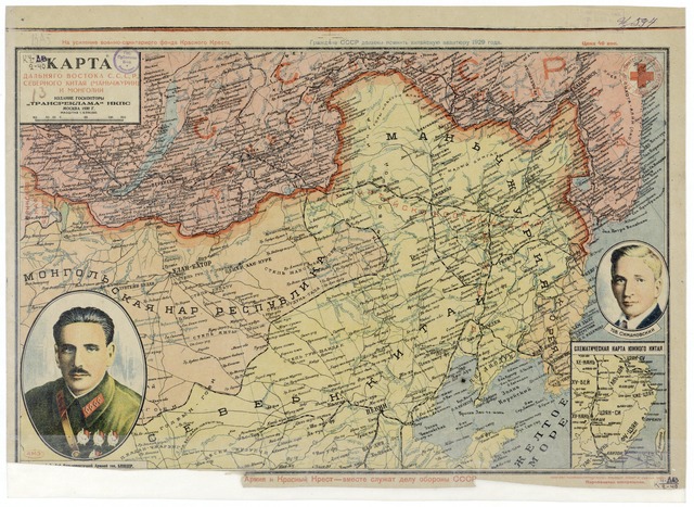
[编辑]| 描述 | Map of the Far East of the USSR, Northern China (Manchuria) and Mongolia, 39 x 53 cm, 1:6 000 000 |
| 日期 | |
| 来源 |
http://www.wdl.org/zh/item/123/?ql=zho&a=-8000&b=2010&c=CN&r=EastAsia&view_type=gallery |
| 作者 | “Transreklama”NKPS, |
| 其他版本 |

许可协议
[编辑]|
本作品在其来源国以及其他著作权期限是作者逝世后70年或以下的国家和地区属于公有领域。 | |
| 本文件已被确认为免除已知的著作权法限制(包括所有相关权利)。 | |
文件历史
点击某个日期/时间查看对应时刻的文件。
| 日期/时间 | 缩略图 | 大小 | 用户 | 备注 | |
|---|---|---|---|---|---|
| 当前 | 2011年2月15日 (二) 16:57 |  | 1,404 × 1,024(4.11 MB) | Shizhao(留言 | 贡献) | == {{int:filedesc}} == == {{int:filedesc}} == == {{int:filedesc}} == == {{int:filedesc}} == == {{int:filedesc}} == {{Information |Description=Map of the Far East of the USSR, Northern China (Manchuria) and Mongolia, 39 x 53 cm, 1:6 000 000 |Source=http:// |
您不可以覆盖此文件。
文件用途
全域文件用途
以下其他wiki使用此文件:
- ba.wikipedia.org上的用途
- cs.wikipedia.org上的用途
- en.wikipedia.org上的用途
- hu.wikipedia.org上的用途
- ko.wikipedia.org上的用途
- mn.wikipedia.org上的用途
- nl.wikipedia.org上的用途
- ro.wikipedia.org上的用途
- ru.wikipedia.org上的用途
- th.wikipedia.org上的用途
- uk.wikipedia.org上的用途
- uz.wikipedia.org上的用途
- zh.wikipedia.org上的用途