File:Mapa de la Vega Baja del Segura.svg
Naviqasiyaya keç
Axtarışa keç

Bu SVG-faylın PNG formatındakı bu görünüşünün ölçüsü: 595 × 595 piksel. Digər ölçülər: 240 × 240 piksel | 480 × 480 piksel | 768 × 768 piksel | 1.024 × 1.024 piksel | 2.048 × 2.048 piksel.
Faylın orijinalı (SVG faylı, nominal olaraq 595 × 595 piksel, faylın ölçüsü: 504 KB)
Captions
Captions
Add a one-line explanation of what this file represents

|
This file has been superseded by Mapa del Baix Segura.svg. It is recommended to use the other file. Please note that deleting superseded images requires consent. Reason to use the other file: "Better SVG version available, with translatable text tags instead of rendering them as bizarre vectors."
|

|
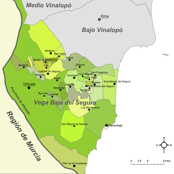
| İzah | Mapa de la comarca de la Vega Baja del Segura (provincia de Alicante, España) |
| Tarix | Original: december 2004. Vectorization: february 2008 |
| Mənbə | Image:Alicante - Mapa municipal.svg, Image:Mapa del Baix Segura.png |
| Müəllif | Original: Montxo Vicente i Sempere, uploaded by Martorell, vectorized by Rodriguillo |
| İcazə (Faylın təkrar istifadəsi) |
This file is licensed under the Creative Commons Attribution-Share Alike 2.0 Generic license.
|
| SVG genesis |
Faylın tarixçəsi
Faylın əvvəlki versiyasını görmək üçün gün/tarix bölməsindəki tarixlərə klikləyin.
| Tarix/Vaxt | Kiçik şəkil | Ölçülər | İstifadəçi | Şərh | |
|---|---|---|---|---|---|
| indiki | 20:07, 1 dekabr 2022 | | 595 × 595 (504 KB) | TechnicianGB (müzakirə | töhfələr) | Reverted to version as of 21:23, 4 October 2017 (UTC) The new version makes no sense in the naming, which is not official (País Valenciano, Múrcia) |
| 09:59, 23 avqust 2022 |  | 595 × 595 (477 KB) | Martorell (müzakirə | töhfələr) | Fixing administrative borders between Land of Valencia and Region of Murcia. | |
| 21:23, 4 oktyabr 2017 |  | 595 × 595 (504 KB) | PuriGarcía (müzakirə | töhfələr) | Reverted to version as of 17:01, 21 March 2008 (UTC) | |
| 21:20, 4 oktyabr 2017 |  | 1.280 × 1.280 (19 KB) | PuriGarcía (müzakirə | töhfələr) | Nuevos | |
| 17:01, 21 mart 2008 |  | 595 × 595 (504 KB) | Rodriguillo (müzakirə | töhfələr) | {{Information |Description= |Source=self-made |Date= |Author= Rodriguillo |Permission= |other_versions= }} | |
| 17:21, 22 fevral 2008 |  | 595 × 595 (512 KB) | Rodriguillo (müzakirə | töhfələr) | {{Information |Description= Mapa de la comarca de la '''Marina Alta''' (provincia de Alicante, España) |Source=Image:Mapa de la Marina Alta.png, Image:Alicante - Mapa municipal.svg |Date=Original: december 2004. Vectorization: february 2008 |A |
Siz bu faylı yenidən yükləyə bilməzsiniz.
Fayl keçidləri
Bu faylı istifadə edən səhifə yoxdur.
Faylın qlobal istifadəsi
Bu fayl aşağıdakı vikilərdə istifadə olunur:
- en.wikipedia.org layihəsində istifadəsi
- es.wikipedia.org layihəsində istifadəsi