File:Maps of the Ancient World.png
跳至導覽
跳至搜尋

預覽大小:800 × 590 像素。 其他解析度:320 × 236 像素 | 640 × 472 像素 | 1,024 × 755 像素 | 1,280 × 944 像素 | 1,696 × 1,251 像素。
原始檔案 (1,696 × 1,251 像素,檔案大小:1.37 MB,MIME 類型:image/png)
說明
說明
添加單行說明來描述出檔案所代表的內容
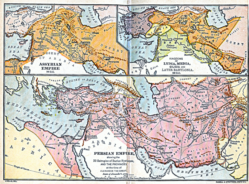
| 描述 | Three ancient maps, public domain, scanned by WMF intern Mitch Hoffman | ||||
| 日期 | published by the American Book Company in 1883 | ||||
| 來源 | A Brief History of Ancient, Mediaeval and Modern Peoples, by Joel Dorman Steele, and Esther Baker Steele | ||||
| 作者 | Russell & Struthers Engravers, New York | ||||
| 授權許可 (重用此檔案) |
|
||||
| 其他版本 |
Sections: |
||||
檔案歷史
點選日期/時間以檢視該時間的檔案版本。
| 日期/時間 | 縮圖 | 尺寸 | 使用者 | 備註 | |
|---|---|---|---|---|---|
| 目前 | 2007年2月27日 (二) 15:21 | | 1,696 × 1,251(1.37 MB) | Bastique(留言 | 貢獻) | {{Information |Description=Three ancient maps, public domain, scanned by WMF intern Mitch Hoffman |Source=Old Engraving |Date= |Author=Russell & Struthers Engravers, New York |Permission={{PD-old}} |other_versions= }} |
無法覆蓋此檔案。
檔案用途
沒有使用此檔案的頁面。
全域檔案使用狀況
以下其他 wiki 使用了這個檔案:
- en.wikiversity.org 的使用狀況
- it.wikipedia.org 的使用狀況
- ka.wikipedia.org 的使用狀況