File:Mbeya.jpg
跳至導覽
跳至搜尋

預覽大小:800 × 540 像素。 其他解析度:320 × 216 像素 | 640 × 432 像素 | 1,024 × 691 像素 | 1,280 × 864 像素 | 1,800 × 1,215 像素。
原始檔案 (1,800 × 1,215 像素,檔案大小:1.26 MB,MIME 類型:image/jpeg)
說明
說明
添加單行說明來描述出檔案所代表的內容
摘要
[編輯]
| 描述 |
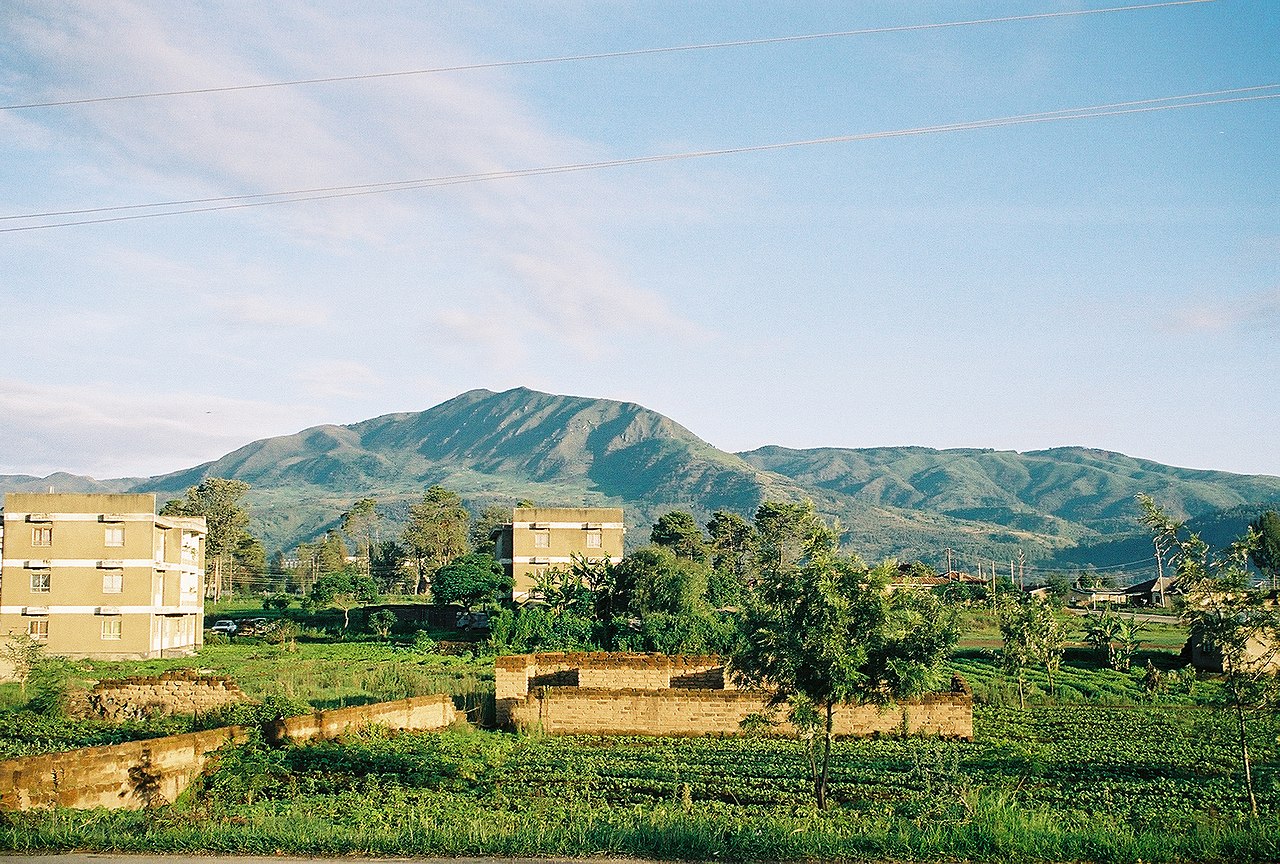
English: Taken by Andrew Coe, of the hills surrounding Mbeya town |
| 日期 | 2006年1月27日 (原始上傳日期) |
| 來源 | Transferred from en.wikipedia; transfer was stated to be made by User:Sémhur. |
| 作者 | Andrew Coe at en.wikipedia |
| 授權許可 (重用此檔案) |
Released into the public domain (by the author). |
| 目標地點 | | 位於此地的本圖片與其他圖片: OpenStreetMap |
|---|
授權條款
[編輯]
| |
此作品已由其作者,中文維基百科專案的Andrewcoe22,釋出至公有領域。此授權條款在全世界均適用。 如果法律不適用時: |
原始上傳日誌
[編輯]
The original description page was here. All following user names refer to en.wikipedia.
- 2006-01-27 18:28 Andrewcoe22 1800×1215× (1324437 bytes) Taken by Andrew Coe, of the hills surrounding Mbeya town
檔案歷史
點選日期/時間以檢視該時間的檔案版本。
| 日期/時間 | 縮圖 | 尺寸 | 使用者 | 備註 | |
|---|---|---|---|---|---|
| 目前 | 2009年5月3日 (日) 09:39 | | 1,800 × 1,215(1.26 MB) | Sémhur(留言 | 貢獻) | zut |
| 2009年5月3日 (日) 09:37 |  | 1,800 × 1,215(97 KB) | Sémhur(留言 | 貢獻) | =={{int:summary}}== {{Information |Description={{en|Taken by Andrew Coe, of the hills surrounding Mbeya town}} |Source=Transferred from [http://en.wikipedia.org en.wikipedia]; transfer was stated to be made by User:Sémhur. |Date={{Date|2006|01|27}} ( |
無法覆蓋此檔案。
檔案用途
下列頁面有用到此檔案:
全域檔案使用狀況
以下其他 wiki 使用了這個檔案:
- ar.wikipedia.org 的使用狀況
- avk.wikipedia.org 的使用狀況
- azb.wikipedia.org 的使用狀況
- be.wikipedia.org 的使用狀況
- bg.wikipedia.org 的使用狀況
- ceb.wikipedia.org 的使用狀況
- cs.wikipedia.org 的使用狀況
- de.wikivoyage.org 的使用狀況
- en.wikipedia.org 的使用狀況
- en.wikivoyage.org 的使用狀況
- eo.wikipedia.org 的使用狀況
- es.wikipedia.org 的使用狀況
- et.wikipedia.org 的使用狀況
- fa.wikipedia.org 的使用狀況
- fi.wikipedia.org 的使用狀況
- fr.wikipedia.org 的使用狀況
- fr.wikivoyage.org 的使用狀況
- ha.wikipedia.org 的使用狀況
- he.wikipedia.org 的使用狀況
- he.wikivoyage.org 的使用狀況
- hr.wikipedia.org 的使用狀況
- hu.wikipedia.org 的使用狀況
- hy.wikipedia.org 的使用狀況
- ig.wikipedia.org 的使用狀況
- it.wikipedia.org 的使用狀況
- ja.wikipedia.org 的使用狀況
- ja.wikivoyage.org 的使用狀況
- kk.wikipedia.org 的使用狀況
- ko.wikipedia.org 的使用狀況
- lt.wikipedia.org 的使用狀況
- mi.wikipedia.org 的使用狀況
- mt.wikipedia.org 的使用狀況
- nn.wikipedia.org 的使用狀況
- no.wikipedia.org 的使用狀況
- pl.wikipedia.org 的使用狀況
- ro.wikipedia.org 的使用狀況
- ru.wikipedia.org 的使用狀況
- sr.wikipedia.org 的使用狀況
- sv.wikipedia.org 的使用狀況
- sw.wikipedia.org 的使用狀況
- th.wikipedia.org 的使用狀況
檢視此檔案的更多全域使用狀況。