File:MenorcaSpain.jpg

File originale (2 875 × 2 032 pixel, dimensione del file: 2,25 MB, tipo MIME: image/jpeg)
Didascalie
Didascalie
Dettagli
[modifica]
| Descrizione |
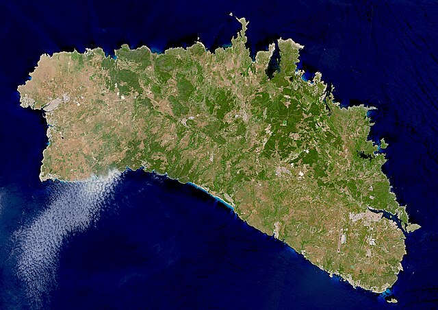
English: This image, acquired by one of the Copernicus Sentinel-2 satellites on 14 May 2022, shows Menorca, the easternmost of the Balearic Islands, in Spain. |
| Data | |
| Fonte | https://www.copernicus.eu/en/media/image-day?page=18 |
| Autore | European Union, Copernicus Sentinel-2 imagery |
Licenza
[modifica]

|
This image contains data from a satellite in the Copernicus Programme, such as Sentinel-1, Sentinel-2 or Sentinel-3. Attribution is required when using this image.
Attribuzione: Contains modified Copernicus Sentinel data 2022
The use of Copernicus Sentinel Data is regulated under EU law (Commission Delegated Regulation (EU) No 1159/2013 and Regulation (EU) No 377/2014). Relevant excerpts:
Free access shall be given to GMES dedicated data [...] made available through GMES dissemination platforms [...].
Access to GMES dedicated data [...] shall be given for the purpose of the following use in so far as it is lawful:
GMES dedicated data [...] may be used worldwide without limitations in time.
GMES dedicated data and GMES service information are provided to users without any express or implied warranty, including as regards quality and suitability for any purpose. |
Cronologia del file
Fare clic su un gruppo data/ora per vedere il file come si presentava nel momento indicato.
| Data/Ora | Miniatura | Dimensioni | Utente | Commento | |
|---|---|---|---|---|---|
| attuale | 01:37, 1 giu 2023 | | 2 875 × 2 032 (2,25 MB) | PalauanLibertarian (discussione | contributi) | Cropped 35 % horizontally, 20 % vertically using CropTool with precise mode. |
| 01:35, 1 giu 2023 |  | 4 408 × 2 540 (3,47 MB) | PalauanLibertarian (discussione | contributi) | Uploaded a work by European Union, Copernicus Sentinel-2 imagery from https://www.copernicus.eu/en/media/image-day?page=18 with UploadWizard |
Impossibile sovrascrivere questo file.
Utilizzo del file
Nessuna pagina utilizza questo file.
Utilizzo globale del file
Anche i seguenti wiki usano questo file: