File:Metropolitan Subdivision CSX by Dickerson spur and Monocacy River Maryland.jpg
跳转到导航
跳转到搜索

本预览的尺寸:800 × 600像素。 其他分辨率:320 × 240像素 | 640 × 480像素 | 1,024 × 768像素 | 1,280 × 960像素 | 2,560 × 1,920像素 | 3,648 × 2,736像素。
原始文件 (3,648 × 2,736像素,文件大小:10.58 MB,MIME类型:image/jpeg)
说明
说明
添加一行文字以描述该文件所表现的内容
摘要
[编辑]
| 描述 |
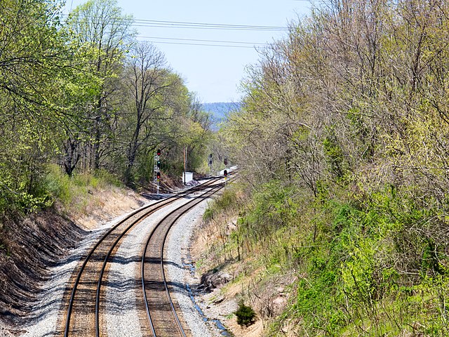
English: Metropolitan Subdivion CSX just before the dickerson spur (for the power plant) and below the Monocacy River bridge (just beyond the curve in the photo). |
| 来源 | 自己的作品 |
| 作者 | Bonnachoven |
| 相机位置 | | 在以下服务上查看本图像和附近其他图像: OpenStreetMap |
|---|
许可协议
[编辑]
我,本作品著作权人,特此采用以下许可协议发表本作品:
| 本作品采用知识共享CC0 1.0 通用公有领域贡献许可协议授权。 | |
| 采用本宣告发表本作品的人,已在法律允许的范围内,通过在全世界放弃其对本作品拥有的著作权法规定的所有权利(包括所有相关权利),将本作品贡献至公有领域。您可以复制、修改、传播和表演本作品,将其用于商业目的,无需要求授权。
|
文件历史
点击某个日期/时间查看对应时刻的文件。
| 日期/时间 | 缩略图 | 大小 | 用户 | 备注 | |
|---|---|---|---|---|---|
| 当前 | 2017年11月3日 (五) 21:22 | | 3,648 × 2,736(10.58 MB) | Bonnachoven(留言 | 贡献) | {{Information |Description ={{en|1=Metropolitan Subdivion CSX just before the dickerson spur (for the power plant) and below the Monocacy River bridge (just beyond the curve in the photo). }} |Source ={{own}} |Author =[[User:Bonnacho... |
您不可以覆盖此文件。
文件用途
没有页面使用本文件。
全域文件用途
以下其他wiki使用此文件:
- en.wikipedia.org上的用途
- zh.wikipedia.org上的用途