File:Mexico Baja California Sur location map.svg
跳转到导航
跳转到搜索

此SVG文件的PNG预览的大小:586 × 599像素。 其他分辨率:235 × 240像素 | 469 × 480像素 | 751 × 768像素 | 1,001 × 1,024像素 | 2,002 × 2,048像素 | 923 × 944像素。
原始文件 (SVG文件,尺寸为923 × 944像素,文件大小:374 KB)
说明
说明
添加一行文字以描述该文件所表现的内容
W3C-validity not checked.
| 描述 |
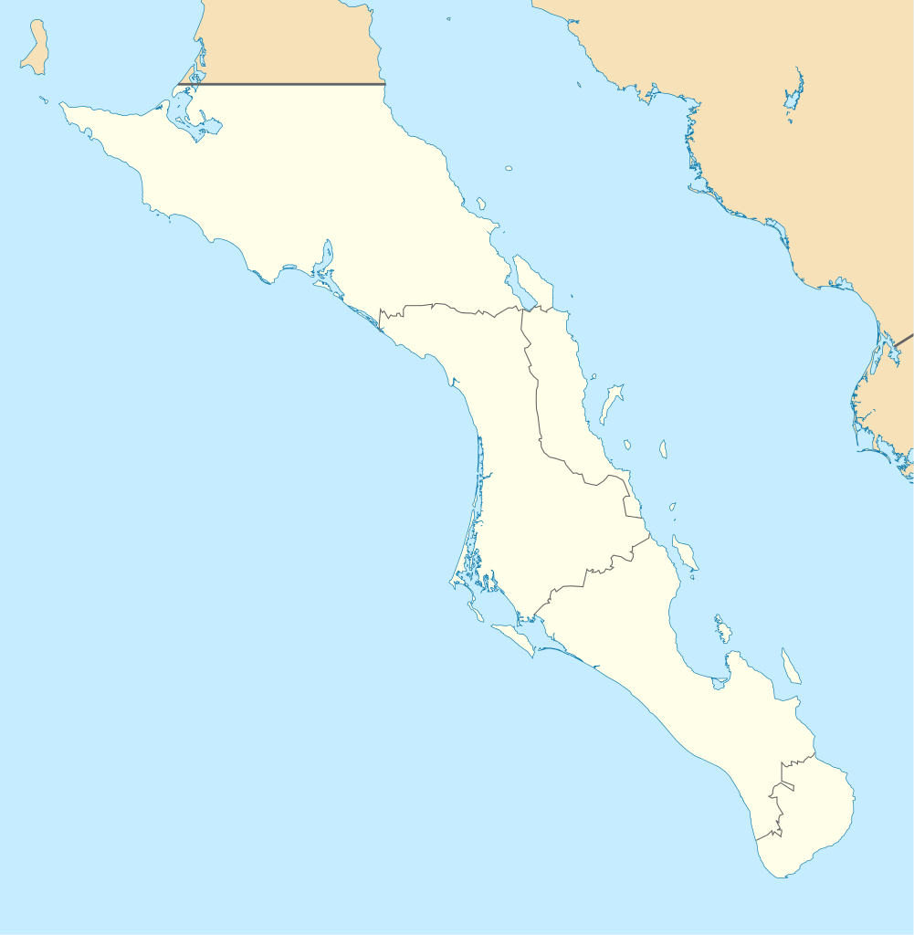
English: Own work as from the map of municipalities of INEGI and costs taken from OpenStreetMap.org (under Creative Commons Attribution-Share Alike 2.0 Generic Licence). Limits of map:
Español: Trabajo propio a partir del mapa de municipios del INEGI y costas tomadas de OpenStreetMap.org (bajo licencia Creative Commons Attribution-Share Alike 2.0 Generic). |
| 日期 | (UTC) |
| 来源 | |
| 作者 |
|
| 这是一张修改过的图片,这意味着它已在原版本的基础上通过软件进行了编辑,改动内容:Changed color of other states, removed black line。其原始版本为:Baja California Sur Location Map.svg。修改者:Spischot。
|
我,本作品著作权人,特此采用以下许可协议发表本作品:
- 您可以自由地:
- 共享 – 复制、发行并传播本作品
- 修改 – 改编作品
- 惟须遵守下列条件:
- 署名 – 您必须对作品进行署名,提供授权条款的链接,并说明是否对原始内容进行了更改。您可以用任何合理的方式来署名,但不得以任何方式表明许可人认可您或您的使用。
- 相同方式共享 – 如果您再混合、转换或者基于本作品进行创作,您必须以与原先许可协议相同或相兼容的许可协议分发您贡献的作品。

|
已授权您依据自由软件基金会发行的无固定段落及封面封底文字(Invariant Sections, Front-Cover Texts, and Back-Cover Texts)的GNU自由文件许可协议1.2版或任意后续版本的条款,复制、传播和/或修改本文件。该协议的副本请见“GNU Free Documentation License”。 |
您可以选择您需要的许可协议。
原始上传日志
[编辑]
This image is a derivative work of the following images:
- File:Baja_California_Sur_Location_Map.svg licensed with Cc-by-sa-3.0,2.5,2.0,1.0, GFDL
- 2009-09-02T20:36:30Z Addicted04 923x944 (371328 Bytes) cost line
- 2009-08-19T23:25:40Z Addicted04 923x944 (371198 Bytes) line in the top
- 2009-08-19T22:51:13Z Addicted04 923x944 (370920 Bytes) {{Information |Description={{en|1=Own work as from the map of municipalities of INEGI and costs taken from OpenStreetMap.org (under Creative Commons Attribution-Share Alike 2.0 Generic Licence). Limits of map: * West : 115º
Uploaded with derivativeFX
文件历史
点击某个日期/时间查看对应时刻的文件。
| 日期/时间 | 缩略图 | 大小 | 用户 | 备注 | |
|---|---|---|---|---|---|
| 当前 | 2011年8月7日 (日) 19:32 | | 923 × 944(374 KB) | Addicted04(留言 | 贡献) | color |
| 2011年8月7日 (日) 19:28 |  | 923 × 944(374 KB) | Battroid(留言 | 贡献) | {{ValidSVG}} {{Information |Description={{en|1=Own work as from the map of municipalities of INEGI and costs taken from OpenStreetMap.org (under Creative Commons Attribution-Share Alike 2.0 Generic Licence). Limits of map: * West : 115.50' W * Est : 109. | |
| 2009年10月27日 (二) 21:36 |  | 923 × 944(374 KB) | Spischot(留言 | 贡献) | Fix: Isla de Cedros to Baja California | |
| 2009年10月27日 (二) 21:12 |  | 923 × 944(363 KB) | Spischot(留言 | 贡献) | {{Information |Description={{en|1=Own work as from the map of municipalities of INEGI and costs taken from OpenStreetMap.org (under Creative Commons Attribution-Share Alike 2.0 Generic Licence). Limits of map: * West : 115º 5' W * Est : 109º W * Nort |
您不可以覆盖此文件。
文件用途
以下9个页面使用本文件:
- Baja California Sur
- Category:Airports in Baja California Sur
- Category:Baja California Sur
- Category:Births in Baja California Sur
- Category:Flora of Baja California Sur
- Category:Maps of Baja California Sur
- Category:Mountains of Baja California Sur
- Category:People of Baja California Sur
- Category:Views of Baja California Sur
全域文件用途
以下其他wiki使用此文件:
- ar.wikipedia.org上的用途
- ba.wikipedia.org上的用途
- bg.wikipedia.org上的用途
- ceb.wikipedia.org上的用途
- ce.wikipedia.org上的用途
- cs.wikipedia.org上的用途
- de.wikipedia.org上的用途
- La Paz (Baja California Sur)
- Loreto (Baja California Sur)
- Guerrero Negro
- Mulegé
- San Ignacio (Baja California Sur)
- Isla Espíritu Santo
- Isla Santa Catalina (Mexiko)
- Santa Rosalía
- Benutzer:Spischot/Bilder
- Aguajito
- Wikipedia:Kartenwerkstatt/Positionskarten/Nordamerika
- Cabo San Lucas
- San Bruno (Baja California Sur)
- Todos Santos (Mexiko)
- Isla Santa Margarita
- Vorlage:Positionskarte Mexiko Baja California Sur
- Tortuga (Mexiko)
- Isla Natividad
- Isla Carmen
- Isla Monserrat
- Isla Coronados
- Isla San Marcos
- Isla Santa Cruz (Mexiko)
- Isla San Diego
- Isla Danzante
- Isla San Francisco
- Bahía Magdalena
- San José del Cabo
- Nationalpark Cabo Pulmo
- Estadio Guaycura
- Ciudad Constitución (Mexiko)
- en.wikipedia.org上的用途
查看此文件的更多全域用途。