File:Mexico Baja California Sur location map.svg
跳至導覽
跳至搜尋

此 SVG 檔案的 PNG 預覽的大小:586 × 599 像素。 其他解析度:235 × 240 像素 | 469 × 480 像素 | 751 × 768 像素 | 1,001 × 1,024 像素 | 2,002 × 2,048 像素 | 923 × 944 像素。
原始檔案 (SVG 檔案,表面大小:923 × 944 像素,檔案大小:374 KB)
說明
說明
添加單行說明來描述出檔案所代表的內容
W3C-validity not checked.
| 描述 |
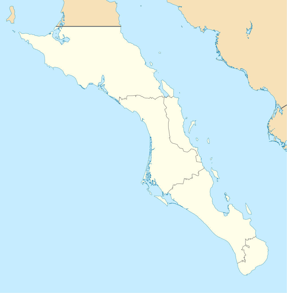
English: Own work as from the map of municipalities of INEGI and costs taken from OpenStreetMap.org (under Creative Commons Attribution-Share Alike 2.0 Generic Licence). Limits of map:
Español: Trabajo propio a partir del mapa de municipios del INEGI y costas tomadas de OpenStreetMap.org (bajo licencia Creative Commons Attribution-Share Alike 2.0 Generic). |
| 日期 | (UTC) |
| 來源 | |
| 作者 |
|
| 這是一張修飾過的圖片,即本圖片是用軟體修改過後的版本,修改的方式或內容有:Changed color of other states, removed black line。原版圖片來源:Baja California Sur Location Map.svg。修改者:Spischot。
|
我,本作品的著作權持有者,決定用以下授權條款發佈本作品:

|
已授權您依據自由軟體基金會發行的無固定段落、封面文字和封底文字GNU自由文件授權條款1.2版或任意後續版本,對本檔進行複製、傳播和/或修改。該協議的副本列在GNU自由文件授權條款中。 |
您可以選擇您需要的授權條款。
原始上傳日誌
[編輯]
This image is a derivative work of the following images:
- File:Baja_California_Sur_Location_Map.svg licensed with Cc-by-sa-3.0,2.5,2.0,1.0, GFDL
- 2009-09-02T20:36:30Z Addicted04 923x944 (371328 Bytes) cost line
- 2009-08-19T23:25:40Z Addicted04 923x944 (371198 Bytes) line in the top
- 2009-08-19T22:51:13Z Addicted04 923x944 (370920 Bytes) {{Information |Description={{en|1=Own work as from the map of municipalities of INEGI and costs taken from OpenStreetMap.org (under Creative Commons Attribution-Share Alike 2.0 Generic Licence). Limits of map: * West : 115º
Uploaded with derivativeFX
檔案歷史
點選日期/時間以檢視該時間的檔案版本。
| 日期/時間 | 縮圖 | 尺寸 | 使用者 | 備註 | |
|---|---|---|---|---|---|
| 目前 | 2011年8月7日 (日) 19:32 | | 923 × 944(374 KB) | Addicted04(留言 | 貢獻) | color |
| 2011年8月7日 (日) 19:28 |  | 923 × 944(374 KB) | Battroid(留言 | 貢獻) | {{ValidSVG}} {{Information |Description={{en|1=Own work as from the map of municipalities of INEGI and costs taken from OpenStreetMap.org (under Creative Commons Attribution-Share Alike 2.0 Generic Licence). Limits of map: * West : 115.50' W * Est : 109. | |
| 2009年10月27日 (二) 21:36 |  | 923 × 944(374 KB) | Spischot(留言 | 貢獻) | Fix: Isla de Cedros to Baja California | |
| 2009年10月27日 (二) 21:12 |  | 923 × 944(363 KB) | Spischot(留言 | 貢獻) | {{Information |Description={{en|1=Own work as from the map of municipalities of INEGI and costs taken from OpenStreetMap.org (under Creative Commons Attribution-Share Alike 2.0 Generic Licence). Limits of map: * West : 115º 5' W * Est : 109º W * Nort |
無法覆蓋此檔案。
檔案用途
下列9個頁面有用到此檔案:
- Baja California Sur
- Category:Airports in Baja California Sur
- Category:Baja California Sur
- Category:Births in Baja California Sur
- Category:Flora of Baja California Sur
- Category:Maps of Baja California Sur
- Category:Mountains of Baja California Sur
- Category:People of Baja California Sur
- Category:Views of Baja California Sur
全域檔案使用狀況
以下其他 wiki 使用了這個檔案:
- ar.wikipedia.org 的使用狀況
- ba.wikipedia.org 的使用狀況
- bg.wikipedia.org 的使用狀況
- ceb.wikipedia.org 的使用狀況
- ce.wikipedia.org 的使用狀況
- cs.wikipedia.org 的使用狀況
- de.wikipedia.org 的使用狀況
- La Paz (Baja California Sur)
- Loreto (Baja California Sur)
- Guerrero Negro
- Mulegé
- San Ignacio (Baja California Sur)
- Isla Espíritu Santo
- Isla Santa Catalina (Mexiko)
- Santa Rosalía
- Benutzer:Spischot/Bilder
- Aguajito
- Wikipedia:Kartenwerkstatt/Positionskarten/Nordamerika
- Cabo San Lucas
- San Bruno (Baja California Sur)
- Todos Santos (Mexiko)
- Isla Santa Margarita
- Vorlage:Positionskarte Mexiko Baja California Sur
- Tortuga (Mexiko)
- Isla Natividad
- Isla Carmen
- Isla Monserrat
- Isla Coronados
- Isla San Marcos
- Isla Santa Cruz (Mexiko)
- Isla San Diego
- Isla Danzante
- Isla San Francisco
- Bahía Magdalena
- San José del Cabo
- Nationalpark Cabo Pulmo
- Estadio Guaycura
- Ciudad Constitución (Mexiko)
- en.wikipedia.org 的使用狀況
檢視此檔案的更多全域使用狀況。