File:Mid-14th c. Georgia map.svg
Перейти к навигации
Перейти к поиску

Размер этого PNG-превью для исходного SVG-файла: 800 × 530 пкс. Другие разрешения: 320 × 212 пкс | 640 × 424 пкс | 1024 × 678 пкс | 1280 × 847 пкс | 2560 × 1695 пкс | 1894 × 1254 пкс.
Исходный файл (SVG-файл, номинально 1894 × 1254 пкс, размер файла: 661 КБ)
Краткие подписи
Краткие подписи
Добавьте однострочное описание того, что собой представляет этот файл
Краткое описание
[править]
| Описание |
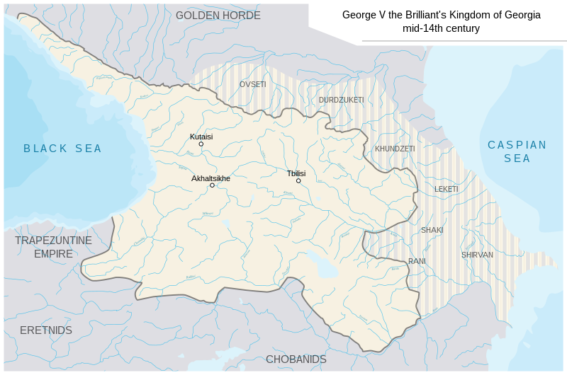
English: Kingdom of Georgia at the end of George V's reign. Based on:
|
| Дата | |
| Источник |
Это векторное изображение содержит элементы, заимствованные из другого изображения: |
| Автор | Ercwlff |
Лицензирование
[править]
Я, владелец авторских прав на это произведение, добровольно публикую его на условиях следующей лицензии:
Этот файл доступен по лицензии Creative Commons Attribution-Share Alike 4.0 International
- Вы можете свободно:
- делиться произведением – копировать, распространять и передавать данное произведение
- создавать производные – переделывать данное произведение
- При соблюдении следующих условий:
- атрибуция – Вы должны указать авторство, предоставить ссылку на лицензию и указать, внёс ли автор какие-либо изменения. Это можно сделать любым разумным способом, но не создавая впечатление, что лицензиат поддерживает вас или использование вами данного произведения.
- распространение на тех же условиях – Если вы изменяете, преобразуете или создаёте иное произведение на основе данного, то обязаны использовать лицензию исходного произведения или лицензию, совместимую с исходной.
История файла
Нажмите на дату/время, чтобы увидеть версию файла от того времени.
| Дата/время | Миниатюра | Размеры | Участник | Примечание | |
|---|---|---|---|---|---|
| текущий | 14:23, 19 февраля 2020 | | 1894 × 1254 (661 КБ) | Ercwlff (обсуждение | вклад) | User created page with UploadWizard |
Вы не можете перезаписать этот файл.
Использование файла
Нет страниц, использующих этот файл.
Глобальное использование файла
Данный файл используется в следующих вики:
- Использование в en.wikipedia.org
- Использование в fr.wikipedia.org
- Использование в ka.wikipedia.org
- Использование в ko.wikipedia.org
- Использование в ru.wikipedia.org
- Использование в sq.wikipedia.org
- Использование в tr.wikipedia.org
- Использование в uk.wikipedia.org
Метаданные
Категории:
- Maps of the history of the Caucasus
- Maps of the history of Georgia
- SVG maps of the history of Armenia
- SVG maps of the history of Azerbaijan
- Maps of Alania
- Maps of the history of the south Caucasus region
- Maps of the history of Kabardino-Balkaria
- Maps of the history of North Ossetia – Alania
- Maps of the Caucasus by some users
- Maps of the history of Dagestan
- Maps showing 14th-century history
- George V of Georgia