File:NC 24.svg
Aller à la navigation
Aller à la recherche

Taille de cet aperçu PNG pour ce fichier SVG : 600 × 600 pixels. Autres résolutions : 240 × 240 pixels | 480 × 480 pixels | 768 × 768 pixels | 1 024 × 1 024 pixels | 2 048 × 2 048 pixels.
Fichier d’origine (Fichier SVG, nominalement de 600 × 600 pixels, taille : 4 kio)
Légendes
Légendes
Ajoutez en une ligne la description de ce que représente ce fichier
Description[modifier]
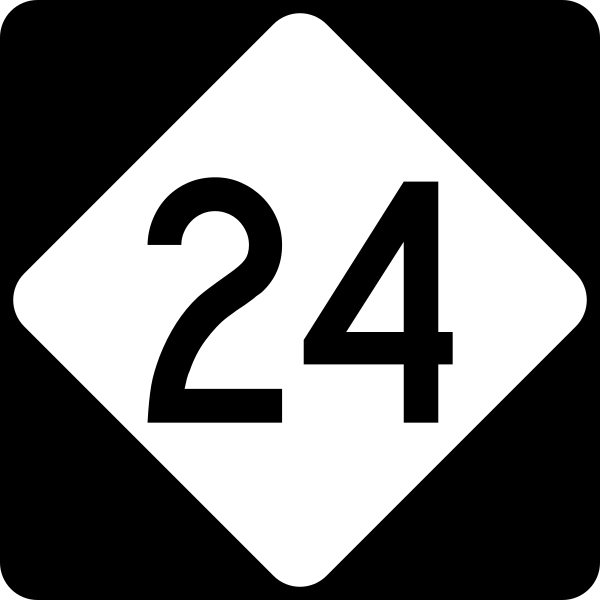
| Description | 600 mm by 600 mm (24 in by 24 in) North Carolina highway shield, made to the specifications of the Manual on Uniform Traffic Control Devices (MUTCD), 2003 Edition (sign M1-5). Uses the Roadgeek 2005 fonts. (United States law does not permit the copyrighting of typeface designs, and the fonts are meant to be copies of a U.S. Government-produced work anyway.) |
| Date | |
| Source | Travail personnel |
| Auteur | TwinsMetsFan |
| Autorisation (Réutilisation de ce fichier) |
Public Domain |
Conditions d’utilisation[modifier]
This file is in the public domain because it comes from the North Carolina Supplement to the Manual on Uniform Traffic Control Devices, sign number M1-5, which states on p. I-2 that North Carolina has "adopted and incorporated" the federal Manual on Uniform Traffic Control Devices in its totality except for the "standards for all traffic control devices applicable to North Carolina not contained in the MUTCD". The federal MUTCD states specifically on its page I-1 that:
No provisions of the supplement supersede this provision of the MUTCD. |
Historique du fichier
Cliquer sur une date et heure pour voir le fichier tel qu'il était à ce moment-là.
| Date et heure | Vignette | Dimensions | Utilisateur | Commentaire | |
|---|---|---|---|---|---|
| actuel | 14 septembre 2006 à 20:14 | | 600 × 600 (4 kio) | TwinsMetsFan (d | contributions) | {{Information |Description=600 mm by 600 mm (24 in by 24 in) North Carolina highway shield, made to the specifications of the Manual on Uniform Traffic Control Devices (MUTCD), 2003 Edition (sign M1-5). Uses the Roadgeek 2005 fonts. (United States law doe |
Vous ne pouvez pas remplacer ce fichier.
Utilisations locales du fichier
Les 2 pages suivantes utilisent ce fichier :
Utilisations du fichier sur d’autres wikis
Les autres wikis suivants utilisent ce fichier :
- Utilisation sur azb.wikipedia.org
- Utilisation sur en.wikipedia.org
- Montgomery County, North Carolina
- Stanly County, North Carolina
- Sampson County, North Carolina
- Onslow County, North Carolina
- Moore County, North Carolina
- Mecklenburg County, North Carolina
- Harnett County, North Carolina
- Duplin County, North Carolina
- Cumberland County, North Carolina
- Carteret County, North Carolina
- Cabarrus County, North Carolina
- Fayetteville, North Carolina
- Beulaville, North Carolina
- U.S. Route 21
- U.S. Route 501
- U.S. Route 601
- U.S. Route 701
- U.S. Route 401
- U.S. Route 117
- U.S. Route 258
- Interstate 485
- Interstate 295 (North Carolina)
- List of highways numbered 24
- All American Freeway
- North Carolina Highway 740
- North Carolina Highway 24
- North Carolina Highway 51
- Interstate 95 in North Carolina
- North Carolina Highway System
- North Carolina Highway 50
- North Carolina Highway 58
- North Carolina Highway 11
- North Carolina Highway 49
- North Carolina Highway 22
- North Carolina Highway 87
- North Carolina Highway 172
- North Carolina Highway 27
- Interstate 74 in North Carolina
- Interstate 40 in North Carolina
- Interstate 95 Business (North Carolina)
- Wikipedia:WikiProject U.S. Roads/Redirects/North Carolina/1-99
- User:MPD01605/Exit lists
- Interstate 77 in North Carolina
- Interstate 85 in North Carolina
- North Carolina Highway 200
- U.S. Route 15 in North Carolina
- North Carolina Highway 705
- Interstate 73 in North Carolina
- User:MPD01605/sandbox2
Voir davantage sur l’utilisation globale de ce fichier.