File:NY-25A.svg
ナビゲーションに移動
検索に移動

この SVG ファイルのこの PNG プレビューのサイズ: 750 × 600 ピクセル. その他の解像度: 300 × 240 ピクセル | 600 × 480 ピクセル | 960 × 768 ピクセル | 1,280 × 1,024 ピクセル | 2,560 × 2,048 ピクセル。
元のファイル (SVG ファイル、750 × 600 ピクセル、ファイルサイズ: 6キロバイト)
キャプション
キャプション
このファイルの内容を1行で記述してください
概要
[編集]
| 解説 |
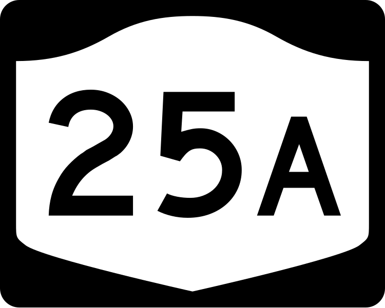
English: Diagram of a 750 mm by 600 mm (30 in by 24 in) route marker for New York State Route 25A, made to the specifications of the Manual on Uniform Traffic Control Devices (MUTCD), 2009 Edition (sign M1-5; p. 143) and the 2010 New York state supplement to the MUTCD (signs NYM3-1, NYM3-2, and NYM3-3; pp. 73, 256). Uses the Roadgeek 2005 fonts. (United States law does not permit the copyrighting of typeface designs, and the fonts are meant to be copies of a U.S. Government-produced work anyway.) |
| 日付 | |
| 原典 | 投稿者自身による著作物 |
| 作者 | TwinsMetsFan |
| 許可 (ファイルの再利用) |
Public Domain |
ライセンス
[編集]
This file is in the public domain because it comes from the New York State Supplement to the Manual on Uniform Traffic Control Devices, sign number NYM3-2. The NYS Supplement states on page 11 that "effective September 13, 2007, the provisions of the MUTCD were formally adopted by the State of New York." The federal MUTCD states specifically on page I-1 that:
No provisions of the supplement supersede this provision of the MUTCD. |
ファイルの履歴
過去の版のファイルを表示するには、その版の日時をクリックしてください。
| 日付と時刻 | サムネイル | 寸法 | 利用者 | コメント | |
|---|---|---|---|---|---|
| 現在の版 | 2009年6月30日 (火) 17:14 | | 750 × 600 (6キロバイト) | TwinsMetsFan (トーク | 投稿記録) | new version based on the NY MUTCD supplement |
| 2006年9月22日 (金) 03:36 |  | 750 × 600 (11キロバイト) | TwinsMetsFan (トーク | 投稿記録) | fixed placement of suffix | |
| 2006年9月15日 (金) 21:24 |  | 750 × 600 (11キロバイト) | TwinsMetsFan (トーク | 投稿記録) | {{Information |Description=750 mm by 600 mm (30 in by 24 in) New York shield, made to the specifications of the Manual on Uniform Traffic Control Devices (MUTCD), 2003 Edition (sign M1-5). Uses the Roadgeek 2005 fonts. (United States law does not permit t |
このファイルは上書きできません。
ファイルの使用状況
以下の 2 ページがこのファイルを使用しています:
グローバルなファイル使用状況
以下に挙げる他のウィキがこの画像を使っています:
- bn.wikipedia.org での使用状況
- de.wikipedia.org での使用状況
- en.wikipedia.org での使用状況
- Long Island
- East Hills, New York
- Flower Hill, New York
- North Hempstead, New York
- Huntington, New York
- Riverhead, New York
- Smithtown, New York
- Brookhaven, New York
- Interstate 278
- List of state routes in New York
- Interstate 495 (New York)
- Cross Island Parkway
- Queens Boulevard
- Interstate 295 (New York)
- Interstate 678
- New York State Route 25A
- New York State Route 25
- Grand Central Parkway
- New York State Route 25B
- New York State Route 112
- New York State Route 106
- User:Nyletak/New York Routes
- New York State Route 111
- Sunken Meadow State Parkway
- New York State Route 108
- New York State Route 107
- Oyster Bay, New York
- New York State Route 347
- New York State Route 101
- New York State Route 110
- Francis Lewis Boulevard
- County Route 97 (Suffolk County, New York)
- County Route 83 (Suffolk County, New York)
- County Route 46 (Suffolk County, New York)
- County Route 11 (Suffolk County, New York)
- Glen Cove Road
- Springfield Boulevard
- Caumsett State Parkway
- List of highways numbered 25A
- Nissequogue River
- Transportation on Long Island
- Greenpoint and Roosevelt Avenues
- Astoria Boulevard
- Parsons Boulevard
- List of county routes in Suffolk County, New York (1–25)
- List of county routes in Suffolk County, New York (26–50C)
- List of county routes in Suffolk County, New York (51–75)
- List of county routes in Suffolk County, New York (76–100)
このファイルのグローバル使用状況を表示する。