File:NY-30.svg
Aller à la navigation
Aller à la recherche

Taille de cet aperçu PNG pour ce fichier SVG : 600 × 600 pixels. Autres résolutions : 240 × 240 pixels | 480 × 480 pixels | 768 × 768 pixels | 1 024 × 1 024 pixels | 2 048 × 2 048 pixels.
Fichier d’origine (Fichier SVG, nominalement de 600 × 600 pixels, taille : 6 kio)
Légendes
Légendes
Ajoutez en une ligne la description de ce que représente ce fichier
Description[modifier]
| Description |
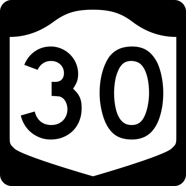
English: Diagram of a 600 mm by 600 mm (24 in by 24 in) route marker for New York State Route 30, made to the specifications of the Manual on Uniform Traffic Control Devices (MUTCD), 2009 Edition (sign M1-5; p. 143) and the 2010 New York state supplement to the MUTCD (signs NYM3-1, NYM3-2, and NYM3-3; pp. 73, 256). Uses the Roadgeek 2005 fonts. (United States law does not permit the copyrighting of typeface designs, and the fonts are meant to be copies of a U.S. Government-produced work anyway.) |
| Date | |
| Source | Travail personnel |
| Auteur | TwinsMetsFan |
| Autorisation (Réutilisation de ce fichier) |
Public Domain |
Conditions d’utilisation[modifier]
This file is in the public domain because it comes from the New York State Supplement to the Manual on Uniform Traffic Control Devices, sign number NYM3-1. The NYS Supplement states on page 11 that "effective September 13, 2007, the provisions of the MUTCD were formally adopted by the State of New York." The federal MUTCD states specifically on page I-1 that:
No provisions of the supplement supersede this provision of the MUTCD. |
Historique du fichier
Cliquer sur une date et heure pour voir le fichier tel qu'il était à ce moment-là.
| Date et heure | Vignette | Dimensions | Utilisateur | Commentaire | |
|---|---|---|---|---|---|
| actuel | 25 juin 2009 à 14:09 | | 600 × 600 (6 kio) | TwinsMetsFan (d | contributions) | new version based on the NY MUTCD supplement |
| 10 octobre 2006 à 02:35 |  | 600 × 600 (8 kio) | TwinsMetsFan (d | contributions) | {{Information |Description=600 mm by 600 mm (24 in by 24 in) New York shield, made to the specifications of the Manual on Uniform Traffic Control Devices (MUTCD), 2003 Edition (sign M1-5). Uses the Roadgeek 2005 fonts. (United States law does not permit t |
Vous ne pouvez pas remplacer ce fichier.
Utilisations locales du fichier
Les 3 pages suivantes utilisent ce fichier :
Utilisations du fichier sur d’autres wikis
Les autres wikis suivants utilisent ce fichier :
- Utilisation sur bn.wikipedia.org
- Utilisation sur de.wikipedia.org
- Utilisation sur en.wikipedia.org
- Delaware County, New York
- Hamilton County, New York
- Schoharie County, New York
- New York State Route 17
- List of state routes in New York
- New York State Thruway
- New York State Route 5
- New York State Route 28
- Le Haut-Saint-Laurent Regional County Municipality
- Interstate 88 (New York)
- Quebec Route 138
- New York State Route 3
- New York State Route 7
- New York State Route 443
- List of highways numbered 30
- User:Nyletak/New York Routes
- New York State Route 8
- New York State Route 990V
- New York State Route 30
- U.S. Route 20 in New York
- New York State Route 206
- New York State Route 23
- U.S. Route 11 in New York
- New York State Route 29
- New York State Route 67
- New York State Route 5S
- New York State Route 37
- New York State Route 29A
- New York State Route 30A
- New York State Route 159
- New York State Route 161
- New York State Route 145
- New York State Route 349
- List of Canada–United States border crossings
- New York State Route 86
- New York State Route 421
- New York State Route 28N
- New York State Route 11B
- New York State Route 122
- New York State Route 458
- New York State Route 186
- Interstate 90 in New York
- New York State Route 99
- New York State Route 192
- List of highways in Hamilton County, New York
- Trout River Border Crossing
- User:Mattx8y/sandbox/Tri-state 17
Voir davantage sur l’utilisation globale de ce fichier.