File:National Atlas of the USA 1970 - Pacific Outlying Areas.jpg
Spring til navigation
Spring til søgning

Størrelse af denne forhåndsvisning: 800 × 544 pixels. Andre opløsninger: 320 × 218 pixels | 640 × 435 pixels | 1.024 × 696 pixels | 1.280 × 871 pixels | 2.560 × 1.741 pixels | 4.170 × 2.836 pixels.
Oprindelig fil (4.170 × 2.836 billedpunkter, filstørrelse: 2,04 MB, MIME-type: image/jpeg)
Captions
Captions
Tilføj en kort forklaring på en enkelt linje om hvad filen viser
Beskrivelse
[redigér]| Beskrivelse |
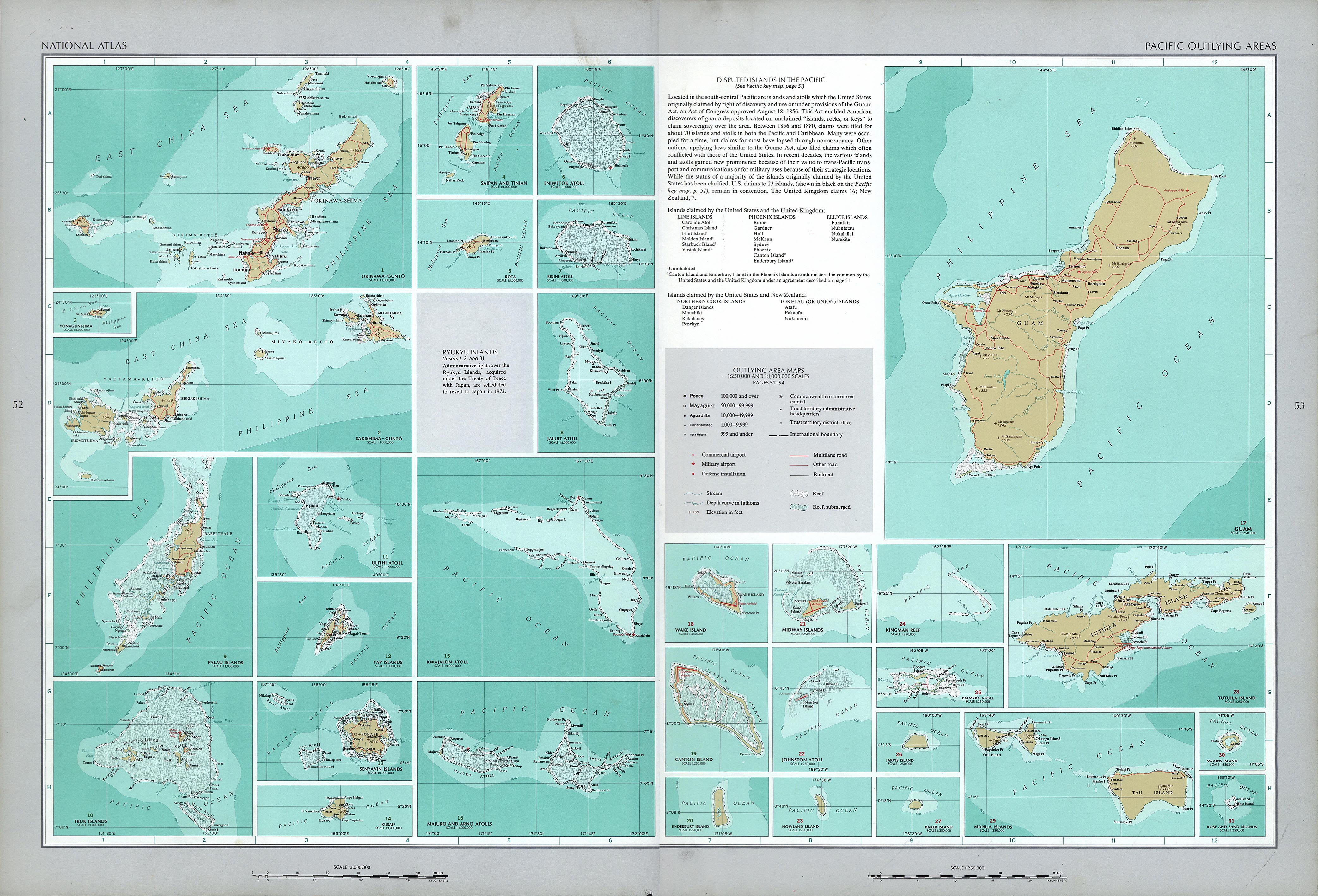
English: National Atlas of the United States, page "Pacific Outlying Areas", with map insets (all uploaded separately) |
| Dato | |
| Kilde | https://www.lib.utexas.edu/maps/national_atlas_1970/ca000040.jpg |
| Forfatter | United States Department of the Interior |
| Andre versioner |
|


Licensering
[redigér]
| This work is from the Library of Congress. According to the library, there are no known copyright restrictions on the use of this work. |  |
Filhistorik
Klik på en dato/tid for at se filen som den så ud på det tidspunkt.
| Dato/tid | Miniaturebillede | Dimensioner | Bruger | Kommentar | |
|---|---|---|---|---|---|
| nuværende | 17. okt. 2016, 13:16 | | 4.170 × 2.836 (2,04 MB) | Mauerquadrant (diskussion | bidrag) | Reverted to version as of 19:25, 16 October 2016 (UTC) |
| 17. okt. 2016, 13:15 |  | 492 × 301 (84 KB) | Mauerquadrant (diskussion | bidrag) | Cropped 6 % horizontally and 11 % vertically using CropTool with precise mode. | |
| 17. okt. 2016, 13:13 |  | 521 × 339 (93 KB) | Mauerquadrant (diskussion | bidrag) | Cropped 88 % horizontally and 88 % vertically using CropTool with precise mode. | |
| 16. okt. 2016, 19:25 |  | 4.170 × 2.836 (2,04 MB) | Ratzer (diskussion | bidrag) | User created page with UploadWizard |
Du kan ikke overskrive denne fil.
Filanvendelse
De følgende 33 sider bruger denne fil:
- File:Baker Island 2.jpg
- File:Bikini Atoll 2.jpg
- File:Canton Island 2.jpg
- File:Enderbury Atoll.jpg
- File:Eniwetok Atoll.jpg
- File:Guam 22.jpg
- File:Howland Island 2.jpg
- File:Jaluit Atoll.jpg
- File:Jarvis Island 2.jpg
- File:Johnston Atoll 2.jpg
- File:Kingman Reef 2.jpg
- File:Kusaie (Kosrae).jpg
- File:Kwajalein Atoll 2.jpg
- File:Majuro and Arno Atolls.jpg
- File:Majuro and Arno Atolls 2.jpg
- File:Manua Islands.jpg
- File:Midway Islands 2.jpg
- File:Okinawa-Guntō.jpg
- File:Palau Islands.jpg
- File:Palmyra Atoll 2.jpg
- File:Rose and Sand Islands.jpg
- File:Rota 2.jpg
- File:Saipan and Tinian 2.jpg
- File:Sakashima-Guntō.jpg
- File:Senyavin Islands.jpg
- File:Swains Island.jpg
- File:Truk Islands.jpg
- File:Truk Islands (cropped).jpg
- File:Tutuila Island.jpg
- File:Ulithi Atoll.jpg
- File:Wake Island 2.jpg
- File:Yap Islands 2.jpg
- File:Yonaguni-Jima.jpg
.jpg)
.jpg)
Global filanvendelse
Følgende andre wikier anvender denne fil:
- Anvendelser på de.wikipedia.org