File:Norfolk Island location map.svg
跳转到导航
跳转到搜索

此SVG文件的PNG预览的大小:609 × 599像素。 其他分辨率:244 × 240像素 | 488 × 480像素 | 780 × 768像素 | 1,040 × 1,024像素 | 2,081 × 2,048像素 | 1,201 × 1,182像素。
原始文件 (SVG文件,尺寸为1,201 × 1,182像素,文件大小:88 KB)
说明
说明
添加一行文字以描述该文件所表现的内容
摘要[编辑]
| 描述 |
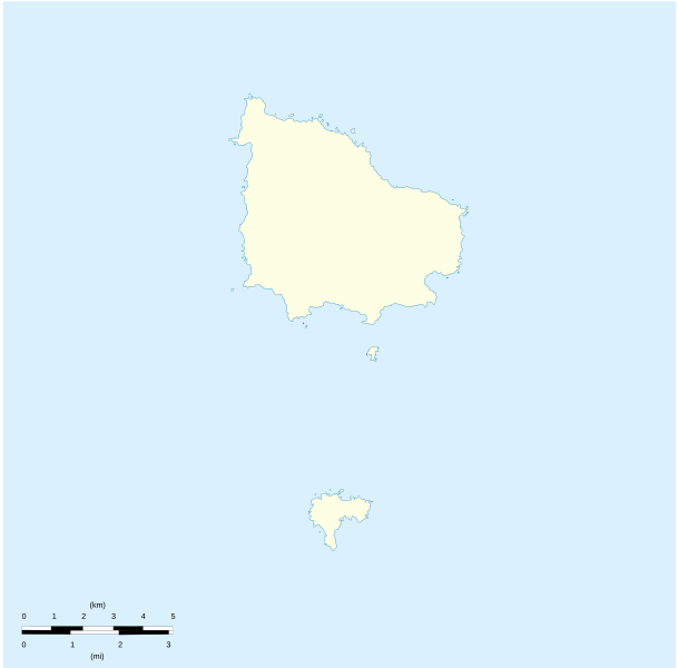
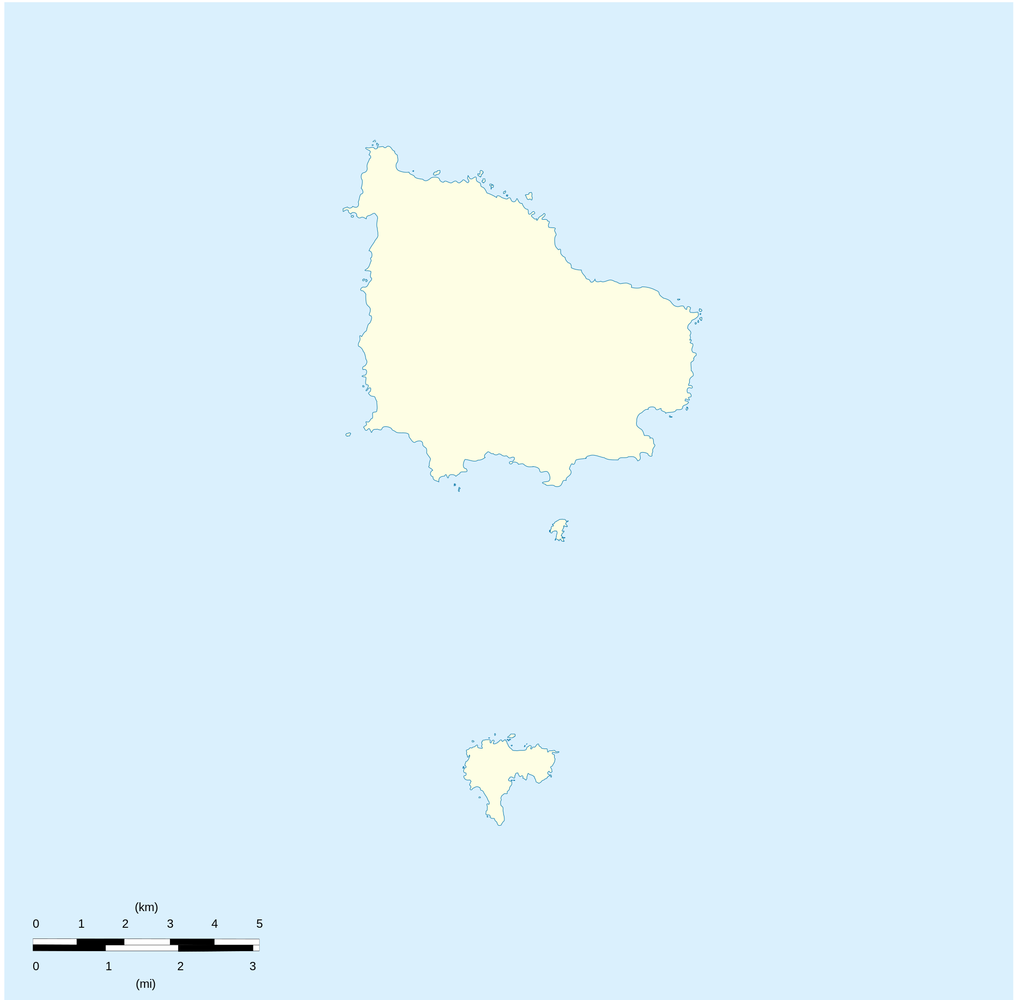
English: Location map of Norfolk_Island
Equirectangular projection. Geographic limits of the map:
Français : Carte de localisation des Île Norfolk
projection equirectangulaire. Les limites géographiques sont
|
| 日期 | |
| 来源 |
自己的作品 Détail de la carte Norfolk Island [1] Détail de la carte Nepean Island [2] Détail de la carte Philip Island [3] |
| 作者 | Xfigpower |
许可协议[编辑]
我,本作品著作权人,特此采用以下许可协议发表本作品:

|
已授权您依据自由软件基金会发行的无固定段落及封面封底文字(Invariant Sections, Front-Cover Texts, and Back-Cover Texts)的GNU自由文件许可协议1.2版或任意后续版本的条款,复制、传播和/或修改本文件。该协议的副本请见“GNU Free Documentation License”。 |
本文件采用知识共享署名 3.0 未本地化版本许可协议授权。
- 您可以自由地:
- 共享 – 复制、发行并传播本作品
- 修改 – 改编作品
- 惟须遵守下列条件:
- 署名 – 您必须对作品进行署名,提供授权条款的链接,并说明是否对原始内容进行了更改。您可以用任何合理的方式来署名,但不得以任何方式表明许可人认可您或您的使用。
您可以选择您需要的许可协议。
文件历史
点击某个日期/时间查看对应时刻的文件。
| 日期/时间 | 缩略图 | 大小 | 用户 | 备注 | |
|---|---|---|---|---|---|
| 当前 | 2010年8月10日 (二) 20:41 | | 1,201 × 1,182(88 KB) | Xfigpower(留言 | 贡献) | {{Information |Description={{en|1=Location map of Norfolk_Island|}} Equirectangular projection. Geographic limits of the map: * N: 28°58' S * S: 29°10' S * W: 167°52' E * E: 168°02 E}} {{fr|1=Location map of [[:en:Norf |
您不可以覆盖此文件。
文件用途
以下18个页面使用本文件:
- File:Australia (+overseas +Antarctica), administrative divisions - Nmbrs - colored (zoom).svg
- File:Australia (+overseas +Antarctica), administrative divisions - Nmbrs - monochrome (zoom).svg
- File:Australia (+overseas +Antarctica), administrative divisions - de - colored (zoom).svg
- File:Australia (+overseas +Antarctica), administrative divisions - de - monochrome (zoom).svg
- File:Australia (+overseas -Antarctica), administrative divisions - Nmbrs - colored (zoom).svg
- File:Australia (+overseas -Antarctica), administrative divisions - Nmbrs - monochrome (zoom).svg
- File:Australia (+overseas -Antarctica), administrative divisions - de - colored (zoom).svg
- File:Australia (+overseas -Antarctica), administrative divisions - de - monochrome (zoom).svg
- Category:Biota of Norfolk Island
- Category:Environment of Norfolk Island
- Category:Flora of Norfolk Island
- Category:History of Norfolk Island
- Category:Maps of Norfolk Island
- Category:Norfolk Island
- Category:Norfolk Island by decade
- Category:Norfolk Island in the 2000s
- Category:Norfolk Island in the 2010s
- Category:People of Norfolk Island
,_administrative_divisions_-_Nmbrs_-_colored_(zoom).svg)
,_administrative_divisions_-_Nmbrs_-_monochrome_(zoom).svg)
,_administrative_divisions_-_de_-_colored_(zoom).svg)
,_administrative_divisions_-_de_-_monochrome_(zoom).svg)
,_administrative_divisions_-_Nmbrs_-_colored_(zoom).svg)
,_administrative_divisions_-_Nmbrs_-_monochrome_(zoom).svg)
,_administrative_divisions_-_de_-_colored_(zoom).svg)
,_administrative_divisions_-_de_-_monochrome_(zoom).svg)
全域文件用途
以下其他wiki使用此文件:
- af.wikipedia.org上的用途
- ar.wikipedia.org上的用途
- ast.wikipedia.org上的用途
- ba.wikipedia.org上的用途
- be-tarask.wikipedia.org上的用途
- be.wikipedia.org上的用途
- bg.wikipedia.org上的用途
- ceb.wikipedia.org上的用途
- Plantilya:Location map Australia Norfolk Island
- Rocky Point
- White Rock
- Bird Rock
- South Rock
- Ross Point
- Flat Rock
- Stockyard Creek
- Mount Pitt
- Cascade Bay
- Mount Bates
- Anson Bay
- Kingston
- Hunter Point
- Cascade Creek
- Ball Bay
- Nepean Island
- Collins Head
- Creswell Bay
- Emily Bay
- Jacobs Rock
- Sydney Bay
- Town Creek
- Watermill Creek
- Point Vincent
- Rocky Point Creek
- Norfolk Island (pagklaro)
- Point Howe
- Broken Bridge Creek
- Bradley Rocks
- Anson Point
- Norfolk Ridge
- Point Vincent (punta)
- Sydney Bay (luuk sa Norfolk Island, lat -29,07, long 167,95)
- Steels Point
- Point Ross
- Rocky Point (punta sa Pulo sa Norfolk)
查看本文件的更多全域用途。