File:North Main in downtown Henderson.jpg
Salta a la navegació
Salta a la cerca
Mida d'aquesta previsualització: 800 × 450 píxels. Altres resolucions: 320 × 180 píxels | 640 × 360 píxels | 1.024 × 576 píxels | 1.280 × 720 píxels | 2.816 × 1.584 píxels.
Fitxer original (2.816 × 1.584 píxels, mida del fitxer: 1,97 Mo, tipus MIME: image/jpeg)
Llegendes
Llegendes
Afegeix una explicació d'una línia del que representa aquest fitxer
|
This is an image of a place or building that is listed on the National Register of Historic Places in the United States of America. Its reference number is 89001975. |
| Posició de la càmera | | Aquesta i altres imatges properes a: OpenStreetMap |
|---|
| Descripció |
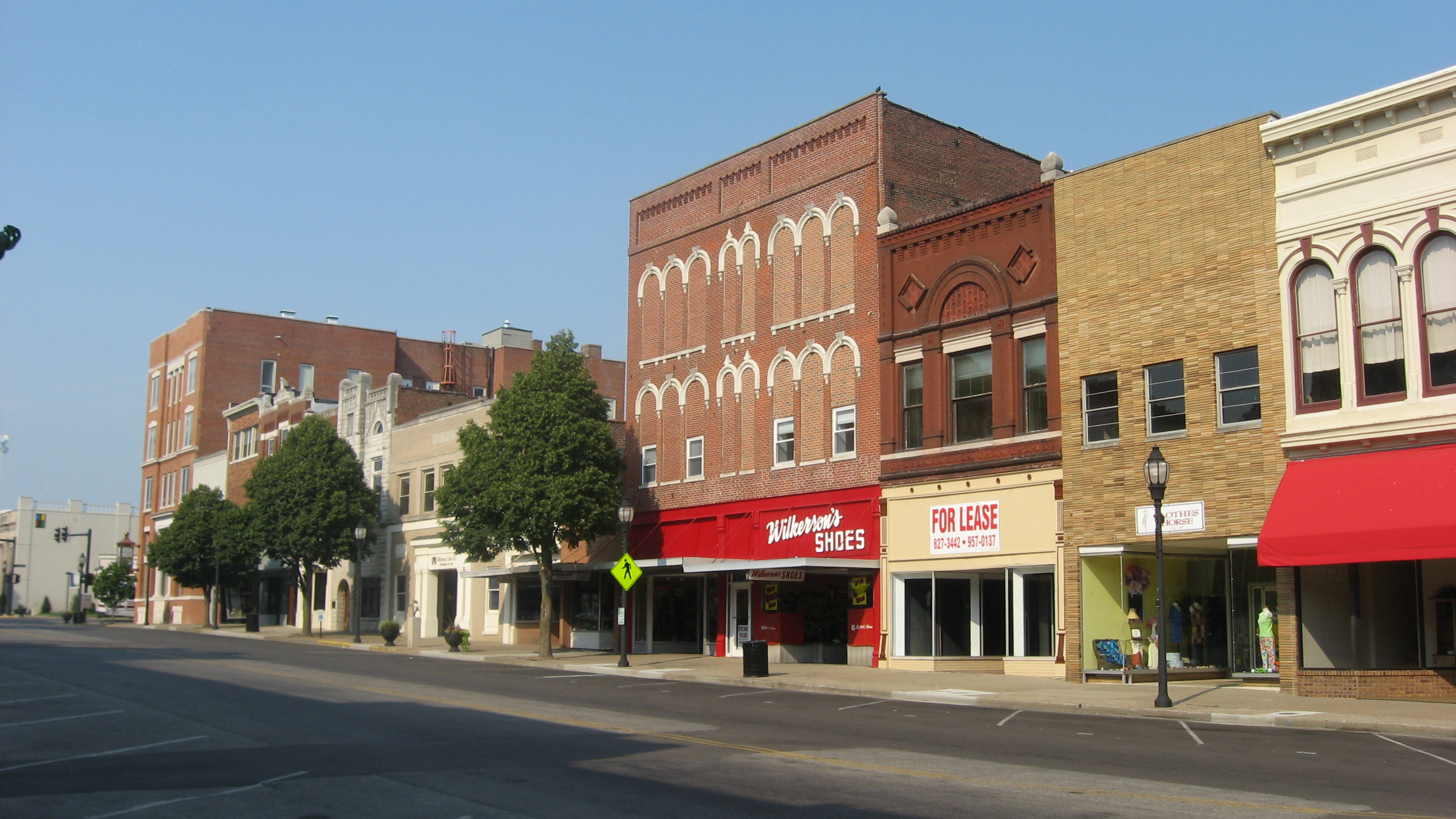
English: Buildings on the eastern side of the 100 block of N. Main Street in Henderson, Kentucky, United States. This block is part of the Henderson Commercial District, a historic district that is listed on the National Register of Historic Places. |
||
| Data | Taken on 30 de juny de 2012 | ||
| Font | Treball propi | ||
| Autor | Nyttend | ||
| Permís (Com reutilitzar aquest fitxer) |
|
Historial del fitxer
Cliqueu una data/hora per veure el fitxer tal com era aleshores.
| Data/hora | Miniatura | Dimensions | Usuari/a | Comentari | |
|---|---|---|---|---|---|
| actual | 04:35, 8 ago 2012 | | 2.816 × 1.584 (1,97 Mo) | Nyttend (discussió | contribucions) | {{NRHP|89001975}} {{Location|37|50|43|N|87|35|31|W}} {{Information |Description={{en|Buildings on the eastern side of the 100 block of N. Main Street in {{w|Henderson, Kentucky|Henderson}}, {{w|Kentucky}}, {{w|United States}}. This block is part of th... |
No podeu sobreescriure aquest fitxer.
Ús del fitxer
Les 2 pàgines següents utilitzen aquest fitxer:
Ús global del fitxer
Utilització d'aquest fitxer en altres wikis:
- Utilització a ar.wikipedia.org
- Utilització a arz.wikipedia.org
- Utilització a azb.wikipedia.org
- Utilització a ca.wikipedia.org
- Utilització a ceb.wikipedia.org
- Utilització a ce.wikipedia.org
- Utilització a dag.wikipedia.org
- Utilització a de.wikipedia.org
- Utilització a en.wikipedia.org
- Utilització a en.wikivoyage.org
- Utilització a es.wikipedia.org
- Utilització a eu.wikipedia.org
- Utilització a fr.wikipedia.org
- Utilització a ht.wikipedia.org
- Utilització a hu.wikipedia.org
- Utilització a it.wikipedia.org
- Utilització a ky.wikipedia.org
- Utilització a lld.wikipedia.org
- Utilització a nl.wikipedia.org
- Utilització a no.wikipedia.org
- Utilització a pl.wikipedia.org
- Utilització a pt.wikipedia.org
- Utilització a ru.wikipedia.org
- Utilització a sr.wikipedia.org
- Utilització a sv.wikipedia.org
- Utilització a tr.wikipedia.org
- Utilització a tt.wikipedia.org
- Utilització a uk.wikipedia.org
- Utilització a ur.wikipedia.org
- Utilització a uz.wikipedia.org
- Utilització a vo.wikipedia.org
- Utilització a www.wikidata.org
- Utilització a zh-min-nan.wikipedia.org