File:Northern-Europe-map.svg
Skočit na navigaci
Skočit na vyhledávání

Velikost tohoto PNG náhledu tohoto SVG souboru: 680 × 520 pixelů. Jiná rozlišení: 314 × 240 pixelů | 628 × 480 pixelů | 1 004 × 768 pixelů | 1 280 × 979 pixelů | 2 560 × 1 958 pixelů.
Původní soubor (soubor SVG, nominální rozměr: 680 × 520 pixelů, velikost souboru: 522 KB)
Popisky
Popisky
Přidejte jednořádkové vysvětlení, co tento soubor představuje
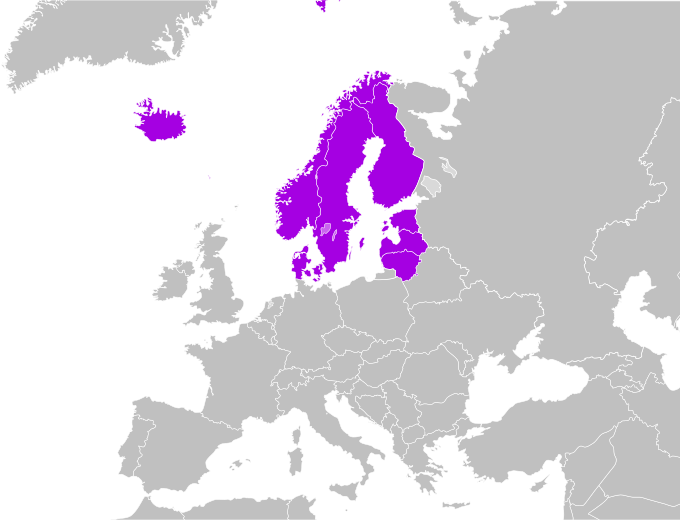
| Popis | Map of Northern Europe |
| Datum | (UTC) |
| Zdroj | self-made, based on Image:Northern-Europe-map.png |
| Autor | CrazyPhunk |

|
Tento dokument smí být kopírován, šířen nebo upravován podle podmínek Svobodné licence GNU pro dokumenty verze 1.2 nebo libovolné vyšší verze publikované nadací Free Software Foundation. Dokument nemá neměnné části ani texty na předním či zadním přebalu. Kopie textu licence je k dispozici v oddíle nazvaném GNU Free Documentation License. |
| Tento soubor podléhá licenci Creative Commons Uveďte autora-Zachovejte licenci 3.0 Unported | ||
| ||
| Tato licenční šablona byla k tomuto souboru přidána v rámci změny licencování. |
Historie souboru
Kliknutím na datum a čas se zobrazí tehdejší verze souboru.
| Datum a čas | Náhled | Rozměry | Uživatel | Komentář | |
|---|---|---|---|---|---|
| současná | 11. 4. 2021, 06:53 | | 680 × 520 (522 KB) | TU-nor (diskuse | příspěvky) | Reverted to version as of 01:46, 9 April 2021 (UTC) You must stop this back-and forth-switching. This map is used in other Wikis where your "expanded" version is plain wrong |
| 11. 4. 2021, 01:41 |  | 680 × 520 (555 KB) | Vesperius (diskuse | příspěvky) | Reverted to version as of 01:22, 9 April 2021 (UTC) | |
| 9. 4. 2021, 01:46 |  | 680 × 520 (522 KB) | Vesperius (diskuse | příspěvky) | Reverted to version as of 02:59, 23 March 2021 (UTC) | |
| 9. 4. 2021, 01:22 |  | 680 × 520 (555 KB) | Vesperius (diskuse | příspěvky) | Reverted to version as of 07:30, 22 March 2021 (UTC) | |
| 23. 3. 2021, 02:59 |  | 680 × 520 (522 KB) | Vesperius (diskuse | příspěvky) | Reverted to version as of 21:19, 13 March 2021 (UTC) | |
| 22. 3. 2021, 07:30 |  | 680 × 520 (555 KB) | Vesperius (diskuse | příspěvky) | Reverted to version as of 13:06, 13 March 2021 (UTC) | |
| 13. 3. 2021, 21:19 |  | 680 × 520 (522 KB) | Vesperius (diskuse | příspěvky) | Reverted to version as of 23:59, 26 June 2020 (UTC) | |
| 13. 3. 2021, 13:06 |  | 680 × 520 (555 KB) | Vesperius (diskuse | příspěvky) | Reverted to version as of 08:43, 7 January 2020 (UTC) | |
| 26. 6. 2020, 23:59 |  | 680 × 520 (522 KB) | Vesperius (diskuse | příspěvky) | Reverted to version as of 12:56, 6 August 2007 (UTC) | |
| 7. 1. 2020, 08:43 |  | 680 × 520 (555 KB) | Vesperius (diskuse | příspěvky) | United kingdom, Ireland, Isle of Man, Guernsey and Jersey included. |
Tento soubor nemůžete přepsat.
Využití souboru
Na Commons na soubor odkazuje tato stránka:
Globální využití souboru
Tento soubor využívají následující wiki:
- Využití na av.wikipedia.org
- Využití na cs.wikipedia.org
- Využití na cu.wikipedia.org
- Využití na cv.wikipedia.org
- Využití na en.wiktionary.org
- Využití na et.wiktionary.org
- Využití na fy.wikipedia.org
- Využití na hr.wikipedia.org
- Využití na hu.wikipedia.org
- Magyarország
- Magyarország zászlaja
- Finnország
- Svájc
- Sablon:Európa
- Franciaország
- Törökország
- Belgium
- Írország
- Horvátország
- Németország
- Szlovákia
- Közép-Európa
- Románia
- Európa
- Szlovénia
- Albánia
- Izland
- Andorra
- Málta
- San Marino
- Monaco
- Lettország
- Finnország zászlaja
- Olaszország
- Ciprusi Köztársaság
- Bosznia-Hercegovina
- Bulgária
- Dánia
- Észtország
- Egyesült Királyság
- Görögország
- Hollandia
- Lengyelország
- Litvánia
- Luxemburg
- Portugália
- Spanyolország
- Európai zászló
- Svédország
Zobrazit další globální využití tohoto souboru.