File:Nouvelle-Calédonie collectivity location map.svg
跳去導覽
跳去搵嘢

呢個「SVG」檔案嘅呢個「PNG」預覽嘅大細:800 × 295 像素。 第啲解像度:320 × 118 像素 | 640 × 236 像素 | 1,024 × 377 像素 | 1,280 × 471 像素 | 2,560 × 942 像素 | 1,608 × 592 像素。
原本檔案 (SVG檔案,表面大細: 1,608 × 592 像素,檔案大細:207 KB)
Captions
Captions
Add a one-line explanation of what this file represents
摘要
[編輯]| Camera location | | View this and other nearby images on: OpenStreetMap |
|---|
| 描述 |
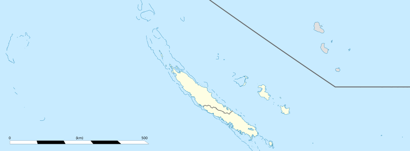
English: Blank administrative map of the territorial collectivity of New Caledonia, France, for geo-location purpose.
This is a general map allowing to geo-locate remote islands. For maps centered on the main islands, see below. Français : Carte administrative vierge de la collectivité territoriale de Nouvelle-Calédonie, France, destinée à la géolocalisation. Ceci est une carte générale permettant la géolocalisation des îles isolées. Pour des cartes centrées sur les îles principales, voir plus bas. Equirectangular projection, WGS84 datum
Geographic limits of the map:
|
||
| 日期 | |||
| 來源 |
自己作品
|
||
| 作者 | Eric Gaba (Sting - fr:Sting) | ||
| 許可 (重用呢個檔案) |
|
||
| Other versions |
|


協議
[編輯]
I, the copyright holder of this work, hereby publish it under the following licenses:
呢個檔案用共享創意 姓名標示-非商業性-相同方式分享3.0 未本地化版本條款授權。
- 你可以:
- 去分享 – 複製、發佈同傳播呢個作品
- 再改 – 創作演繹作品
- 要遵照下面嘅條件:
- 署名 – 你一定要畀合適嘅表彰、畀返指向呢個授權條款嘅連結,同埋寫明有無改過嚟。你可以用任何合理方式去做,但唔可以用任何方式暗示授權人認可咗你或者你嘅使用方式。
- 相同方式分享 – 如果你用任何方式改過呢個作品,你必須要用返原本或者相似嘅條款發佈。

|
根據自由軟體基金會發佈嘅無固定段落、封面文字同封底文字GNU自由文件授權條款第1.2或打後嘅版本,你獲授權可以重製、散佈同埋修改爾份文件。授權條款嘅副本喺章節GNU自由文件授權條款。 |
你可以揀你想用嘅牌照。
檔案歷史
撳個日期/時間去睇響嗰個時間出現過嘅檔案。
| 日期/時間 | 縮圖 | 尺寸 | 用戶 | 註解 | |
|---|---|---|---|---|---|
| 現時 | 2013年8月4號 (日) 15:26 | 1,608 × 592(207 KB) | Szczureq(傾偈 | 貢獻) | removed non-existent Sandy Island | |
| 2009年1月21號 (三) 03:07 | 1,608 × 592(177 KB) | Sting(傾偈 | 貢獻) | == Summary == {{Location|20|22|30|S|165|10|30|E|scale:5000000}} <br/> {{Information |Description={{en|Blank administrative map of the territorial collectivity of New Caledonia, France, for |
你無得衾咗個檔案。
檔案用途
以下嘅4版用到呢個檔:
,_administrative_divisions_-_Nmbrs_(zoom).svg)
全域檔案使用情況
下面嘅維基都用緊呢個檔案:
- ba.wikipedia.org嘅使用情況
- bn.wikipedia.org嘅使用情況
- de.wikipedia.org嘅使用情況
- fr.wikipedia.org嘅使用情況
- Aquarium des lagons
- Îles Chesterfield
- Province Nord (Nouvelle-Calédonie)
- Grande Terre (Nouvelle-Calédonie)
- Nouvelle-Calédonie
- Centre culturel Tjibaou
- Communauté du Pacifique
- Aéroport international de Nouméa-La Tontouta
- Province Sud (Nouvelle-Calédonie)
- Aéroport de Magenta
- Place des Cocotiers
- Géographie de la Nouvelle-Calédonie
- Fayaoué
- Prise d'otages d'Ouvéa
- Hippodrome Henri-Milliard
- Lekine
- Île Hunter (Pacifique Sud)
- Île Matthew
- Île Walpole (Nouvelle-Calédonie)
- Hôpital Gaston-Bourret
- Hôpital de Magenta
- Centre hospitalier territorial Gaston-Bourret de Nouvelle-Calédonie
- Centre hospitalier spécialisé Albert-Bousquet
- Polyclinique de l'Anse Vata
- Clinique Magnin
- Clinique de la Baie des Citrons
- Modèle:Infobox Tribu de Nouvelle-Calédonie
- Barrage de Yaté
- Cœur de Voh
- Expédition d'Entrecasteaux
- Université de la Nouvelle-Calédonie
- Fort Teremba
- Parc zoologique et forestier Michel-Corbasson
- Foire de Bourail
- Plage de Poé
- Modèle:Géolocalisation/Nouvelle-Calédonie
- Stade Numa-Daly
- Wikipédia:Atelier graphique/Cartes/Archives/Demandes mises en sommeil
- Récifs d'Entrecasteaux
- Gossanah
睇呢個檔案嘅更多全域使用情況。