File:Obcine Slovenija 2006 Sevnica.svg
ナビゲーションに移動
検索に移動

この SVG ファイルのこの PNG プレビューのサイズ: 800 × 522 ピクセル. その他の解像度: 320 × 209 ピクセル | 640 × 418 ピクセル | 1,024 × 668 ピクセル | 1,280 × 835 ピクセル | 2,560 × 1,670 ピクセル | 2,613 × 1,705 ピクセル。
元のファイル (SVG ファイル、2,613 × 1,705 ピクセル、ファイルサイズ: 2.36メガバイト)
キャプション
キャプション
このファイルの内容を1行で記述してください
概要
[編集]
| 解説 |
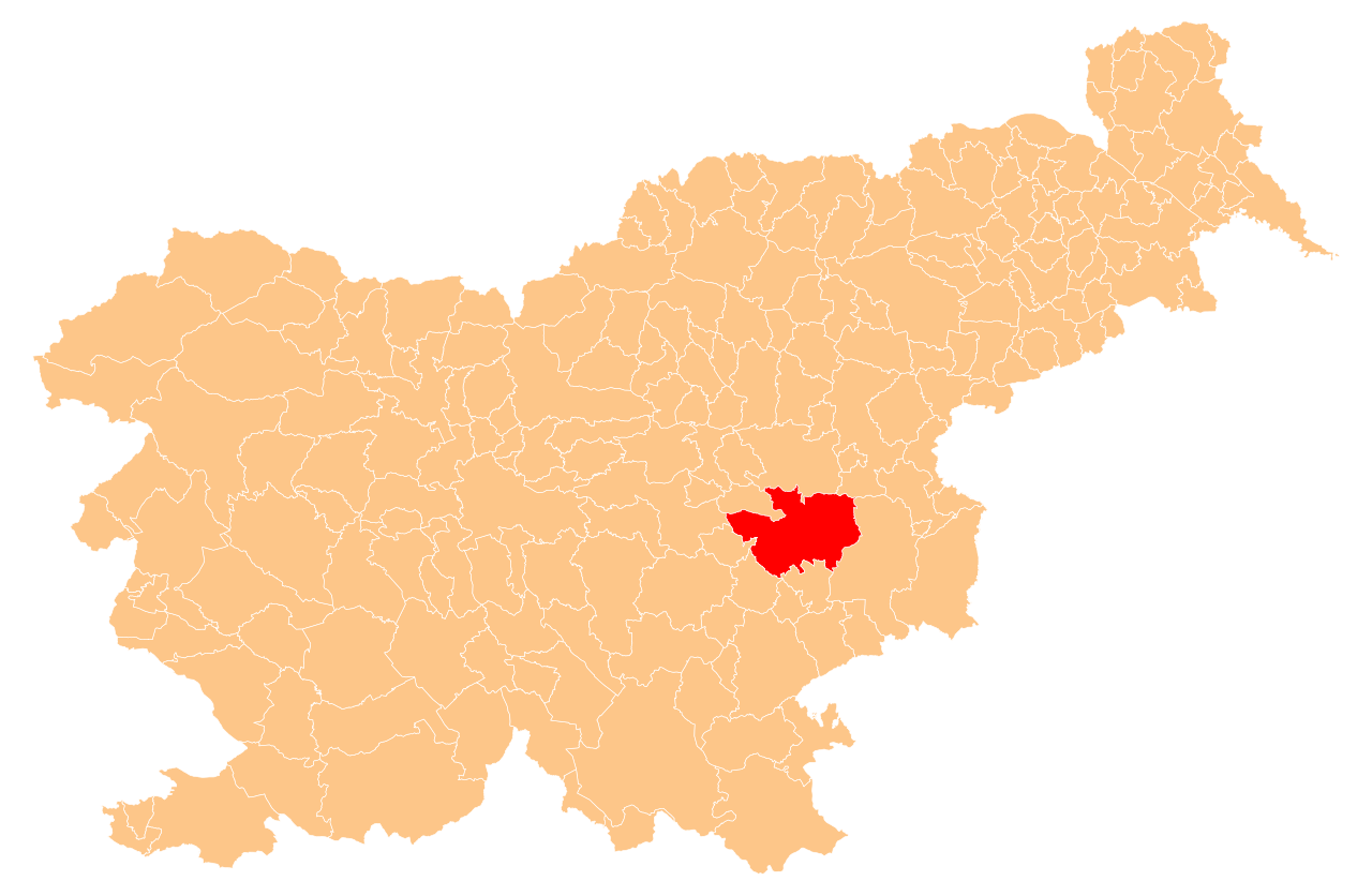
English: Občina Sevnica (marked red) on map of the municipalities (občine) of the Republic of Slovenia, as since May 2006 (210 units). |
| 日付 | |
| 原典 | Manipulated Image:Obcine Slovenija 2006.svg in text editor. |
| 作者 | Source of the public data is GURS (Geodetska uprava Republike Slovenije or Surveying and Mapping Authority of the Republic of Slovenia). Converted from Shapefile to SVG with shp2svg and prepared for Wikipedia by romanm (talk). |
| 許可 (ファイルの再利用) |
Public domain. See Image:Obcine Slovenija 2006.svg for an explanation. |
ライセンス
[編集]
| この著作物の著作権者である私は、この著作物における権利を放棄しパブリックドメインとします。これは全世界で適用されます。 一部の国では、これが法的に可能ではない場合があります。その場合は、次のように宣言します。 私は、あらゆる人に対して、法により必要とされている条件を除き、如何なる条件も課すことなく、あらゆる目的のためにこの著作物を使用する権利を与えます。 |
ファイルの履歴
過去の版のファイルを表示するには、その版の日時をクリックしてください。
| 日付と時刻 | サムネイル | 寸法 | 利用者 | コメント | |
|---|---|---|---|---|---|
| 現在の版 | 2009年5月25日 (月) 20:45 | | 2,613 × 1,705 (2.36メガバイト) | Romanm (トーク | 投稿記録) | {{Information |Description={{en|1=''Občina Sevnica'' (marked red) on map of the municipalities (''občine'') of the Republic of Slovenia, as since May 2006 (210 units).}} |Source=Manipulated Image:Obcine Slovenija 2006.svg in text editor. |Author=So |
このファイルは上書きできません。
ファイルの使用状況
以下の 2 ページがこのファイルを使用しています:
グローバルなファイル使用状況
以下に挙げる他のウィキがこの画像を使っています:
- cs.wikipedia.org での使用状況
- en.wikipedia.org での使用状況
- Sevnica
- Šentjur na Polju
- Sevnica Castle
- Template:Sevnica
- Loka pri Zidanem Mostu
- Apnenik pri Boštanju
- Arto, Sevnica
- Birna Vas
- Blanca, Sevnica
- Boštanj, Sevnica
- Breg, Sevnica
- Brezovo, Sevnica
- Budna Vas
- Cerovec, Sevnica
- Dedna Gora
- Dolenji Boštanj
- Dolnje Brezovo
- Dolnje Impolje
- Dolnje Orle
- Drožanje
- Drušče
- Čanje
- Čelovnik
- Češnjice, Sevnica
- Gabrijele
- Gabrje, Sevnica
- Gornje Brezovo
- Gornje Impolje
- Gornje Orle
- Goveji Dol
- Hinje, Sevnica
- Hudo Brezje
- Jablanica, Sevnica
- Jelovec, Sevnica
- Jeperjek
- Kal pri Krmelju
- Kamenica, Sevnica
- Kaplja Vas, Sevnica
- Kladje nad Blanco
- Kladje pri Krmelju
- Koludrje
- Žurkov Dol
- Kompolje, Sevnica
- Konjsko, Sevnica
- Krajna Brda
- Križ, Sevnica
- Krmelj
- Krsinji Vrh
このファイルのグローバル使用状況を表示する。