File:OpenStreetMap Cape Town small.svg
跳至導覽
跳至搜尋

此 SVG 檔案的 PNG 預覽的大小:496 × 399 像素。 其他解析度:298 × 240 像素 | 597 × 480 像素 | 955 × 768 像素 | 1,273 × 1,024 像素 | 2,546 × 2,048 像素。
原始檔案 (SVG 檔案,表面大小:496 × 399 像素,檔案大小:10.71 MB)
說明
說明
添加單行說明來描述出檔案所代表的內容
| 描寫 |
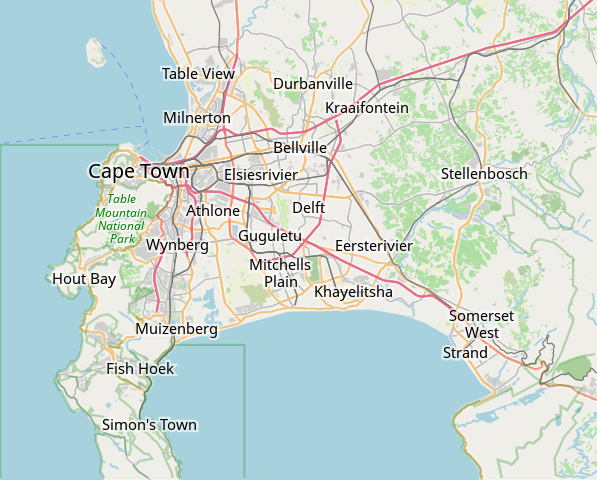
本Cape Town 的地圖以OpenStreetMap計畫資料建立,由社群收集。 此地圖可能不完整,也可能包含錯誤。別只用它當導航。 |
|||||||||
| 日期 | (參見檔案歷史) | |||||||||
| 來源 | openstreetmap.org | |||||||||
| 創作作者 |
OpenStreetMap 貢獻者 |
|||||||||
| 授權許可 (重用此檔案) |
OpenStreetMap的資料依據開放資料庫授權條款(細節)提供。圖磚採用創用CC姓名標示-相同方式分享 2.0(CC-BY-SA 2.0)條款授權。
此檔案採用共享創意 姓名標示-相同方式分享 2.0 通用版授權條款。
|
|||||||||
| Geotemporal data | ||||||||||
| 邊框 |
|
|||||||||
| 地理參考 | 如果不合適,請設定「warp_status = skip」為隱藏。 | |||||||||
derivative works
[編輯]
Derivative works of this file: OpenStreetMap Kaapstad klein Afrikaans.svg
檔案歷史
點選日期/時間以檢視該時間的檔案版本。
| 日期/時間 | 縮圖 | 尺寸 | 用戶 | 備註 | |
|---|---|---|---|---|---|
| 目前 | 2022年1月16日 (日) 09:11 | | 496 × 399(10.71 MB) | Htonl(對話 | 貢獻) | customize labels |
| 2022年1月16日 (日) 08:27 |  | 496 × 399(12.15 MB) | Htonl(對話 | 貢獻) | update | |
| 2011年1月12日 (三) 07:12 |  | 424 × 351(1.71 MB) | Htonl(對話 | 貢獻) | *tiny* tweak | |
| 2011年1月12日 (三) 07:07 |  | 424 × 351(1.72 MB) | Htonl(對話 | 貢獻) | bounds | |
| 2010年2月3日 (三) 16:36 |  | 496 × 399(2.36 MB) | Htonl(對話 | 貢獻) | {{OpenStreetMap|location=Cape Town}} Category:OpenStreetMap maps of South Africa |
無法覆蓋此檔案。
檔案用途
下列頁面有用到此檔案:
全域檔案使用狀況
以下其他 wiki 使用了這個檔案:
- af.wikipedia.org 的使用狀況
- Constantia
- Steenberg
- Athlone
- Bo-Kaap
- Table View
- Goodwood
- Pinelands
- Strand, Wes-Kaap
- Nuweland
- Wynberg
- Rondebosch
- Rosebank, Kaapstad
- Claremont, Kaapstad
- Mowbray
- Zwaanswyk
- Kaapstad Internasionale Lughawe
- Maitland
- Seepunt
- Drieankerbaai
- Brackenfell
- Observatory
- Soutrivier
- Woodstock
- Plumstead
- Llandudno
- Bergvliet
- Bishopscourt
- Heathfield
- Monte Vista
- Lansdowne
- Milnerton
- Kalkbaai
- Noordhoek
- Oranjezicht
- Tamboerskloof
- Hoërskool Durbanville
- Belhar
- Kampsbaai
- Higgovale
- Vredehoek
- Clifton
- Schotsche Kloof
- Zonnebloem
- Mouillepunt
- Elsiesrivier
- Bantrybaai
- Blue Downs
- Crawford
- Ottery
- Mfuleni
檢視此檔案的更多全域使用狀況。