File:Oran Province narrow border.svg
ナビゲーションに移動
検索に移動

この SVG ファイルのこの PNG プレビューのサイズ: 800 × 535 ピクセル. その他の解像度: 320 × 214 ピクセル | 640 × 428 ピクセル | 1,024 × 685 ピクセル | 1,280 × 856 ピクセル | 2,560 × 1,711 ピクセル | 1,255 × 839 ピクセル。
元のファイル (SVG ファイル、1,255 × 839 ピクセル、ファイルサイズ: 79キロバイト)
キャプション
キャプション
このファイルの内容を1行で記述してください
概要
[編集]
How to change this map. In Inkscape the window looks like this:To change a color of any municipality on this map, change fill color in window 1 . To change the borders go to the main menu, Edit>>Select All. Then Object>>Fill and Stroke. Then in window 2, x turns the borders off. The square turns the borders on. In window 2 the color of border can be changed like the fill color. In window 3 the width of the borders can be changed.

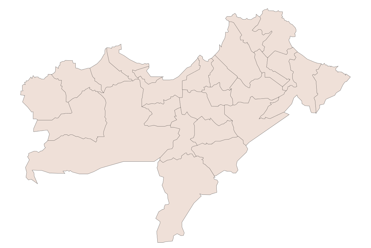
| 解説 | Oran Province, Algeria |
| 日付 | |
| 原典 | 投稿者自身による著作物 |
| 作者 | Sagredo |
| その他のバージョン |
このファイルの派生的著作物: |
ライセンス
[編集]
| この著作物の著作権者である私は、この著作物における権利を放棄しパブリックドメインとします。これは全世界で適用されます。 一部の国では、これが法的に可能ではない場合があります。その場合は、次のように宣言します。 私は、あらゆる人に対して、法により必要とされている条件を除き、如何なる条件も課すことなく、あらゆる目的のためにこの著作物を使用する権利を与えます。 |
ファイルの履歴
過去の版のファイルを表示するには、その版の日時をクリックしてください。
| 日付と時刻 | サムネイル | 寸法 | 利用者 | コメント | |
|---|---|---|---|---|---|
| 現在の版 | 2008年1月11日 (金) 04:22 | | 1,255 × 839 (79キロバイト) | Sagredo (トーク | 投稿記録) | How to change this map. In Inkscape the window looks like this:To change a color of any municipality on this map, change fill color in window 1 . To change the borders go to the main menu, Edit>>Select All. Then Object>>Fill and Stroke. Then in window |
| 2008年1月11日 (金) 04:00 |  | 1,255 × 839 (80キロバイト) | Sagredo (トーク | 投稿記録) | How to change this map. In Inkscape the window looks like this:To change a color of any municipality on this map, change fill color in window 1 . To change the borders go to the main menu, Edit>>Select All. Then Object>>Fill and Stroke. Then in window |
このファイルは上書きできません。
ファイルの使用状況
以下のページがこのファイルを使用しています:
グローバルなファイル使用状況
以下に挙げる他のウィキがこの画像を使っています:
- en.wikipedia.org での使用状況
- www.wikidata.org での使用状況