File:Oran Province narrow border.svg
跳至導覽
跳至搜尋

此 SVG 檔案的 PNG 預覽的大小:800 × 535 像素。 其他解析度:320 × 214 像素 | 640 × 428 像素 | 1,024 × 685 像素 | 1,280 × 856 像素 | 2,560 × 1,711 像素 | 1,255 × 839 像素。
原始檔案 (SVG 檔案,表面大小:1,255 × 839 像素,檔案大小:79 KB)
說明
說明
添加單行說明來描述出檔案所代表的內容
摘要
[編輯]
How to change this map. In Inkscape the window looks like this:To change a color of any municipality on this map, change fill color in window 1 . To change the borders go to the main menu, Edit>>Select All. Then Object>>Fill and Stroke. Then in window 2, x turns the borders off. The square turns the borders on. In window 2 the color of border can be changed like the fill color. In window 3 the width of the borders can be changed.

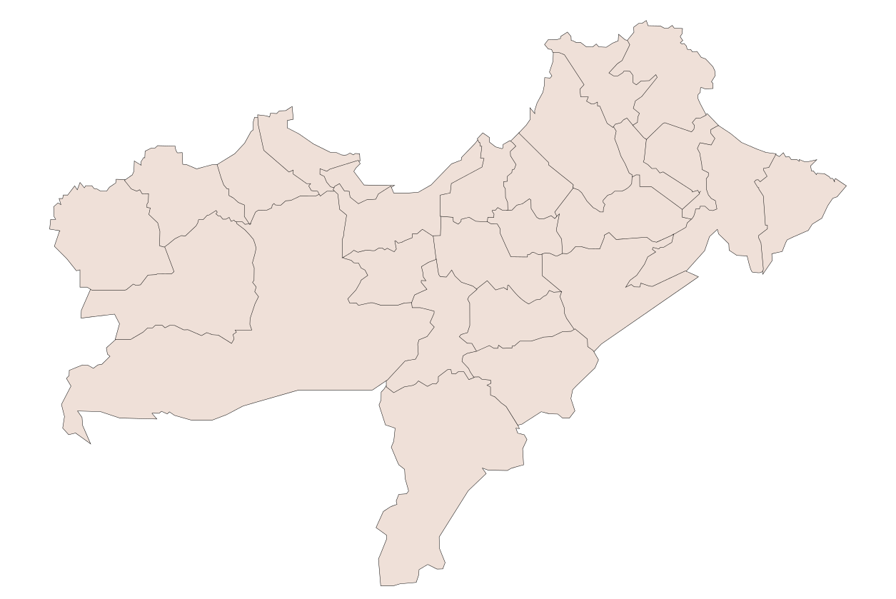
| 描述 | Oran Province, Algeria |
| 日期 | |
| 來源 | 自己的作品 |
| 作者 | Sagredo |
| 其他版本 |
Derivative works of this file: |
授權條款
[編輯]
| 我,此作品的版權所有人,釋出此作品至公共領域。此授權條款在全世界均適用。 這可能在某些國家不合法,如果是的話: 我授予任何人有權利使用此作品於任何用途,除受法律約束外,不受任何限制。 |
檔案歷史
點選日期/時間以檢視該時間的檔案版本。
| 日期/時間 | 縮圖 | 尺寸 | 使用者 | 備註 | |
|---|---|---|---|---|---|
| 目前 | 2008年1月11日 (五) 04:22 | | 1,255 × 839(79 KB) | Sagredo(留言 | 貢獻) | How to change this map. In Inkscape the window looks like this:To change a color of any municipality on this map, change fill color in window 1 . To change the borders go to the main menu, Edit>>Select All. Then Object>>Fill and Stroke. Then in window |
| 2008年1月11日 (五) 04:00 |  | 1,255 × 839(80 KB) | Sagredo(留言 | 貢獻) | How to change this map. In Inkscape the window looks like this:To change a color of any municipality on this map, change fill color in window 1 . To change the borders go to the main menu, Edit>>Select All. Then Object>>Fill and Stroke. Then in window |
無法覆蓋此檔案。
檔案用途
下列頁面有用到此檔案:
全域檔案使用狀況
以下其他 wiki 使用了這個檔案:
- en.wikipedia.org 的使用狀況
- www.wikidata.org 的使用狀況